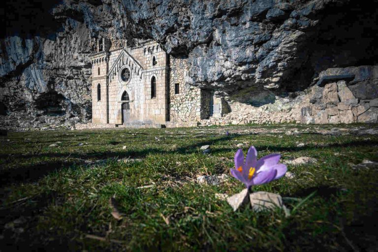
GR 20, Corsica
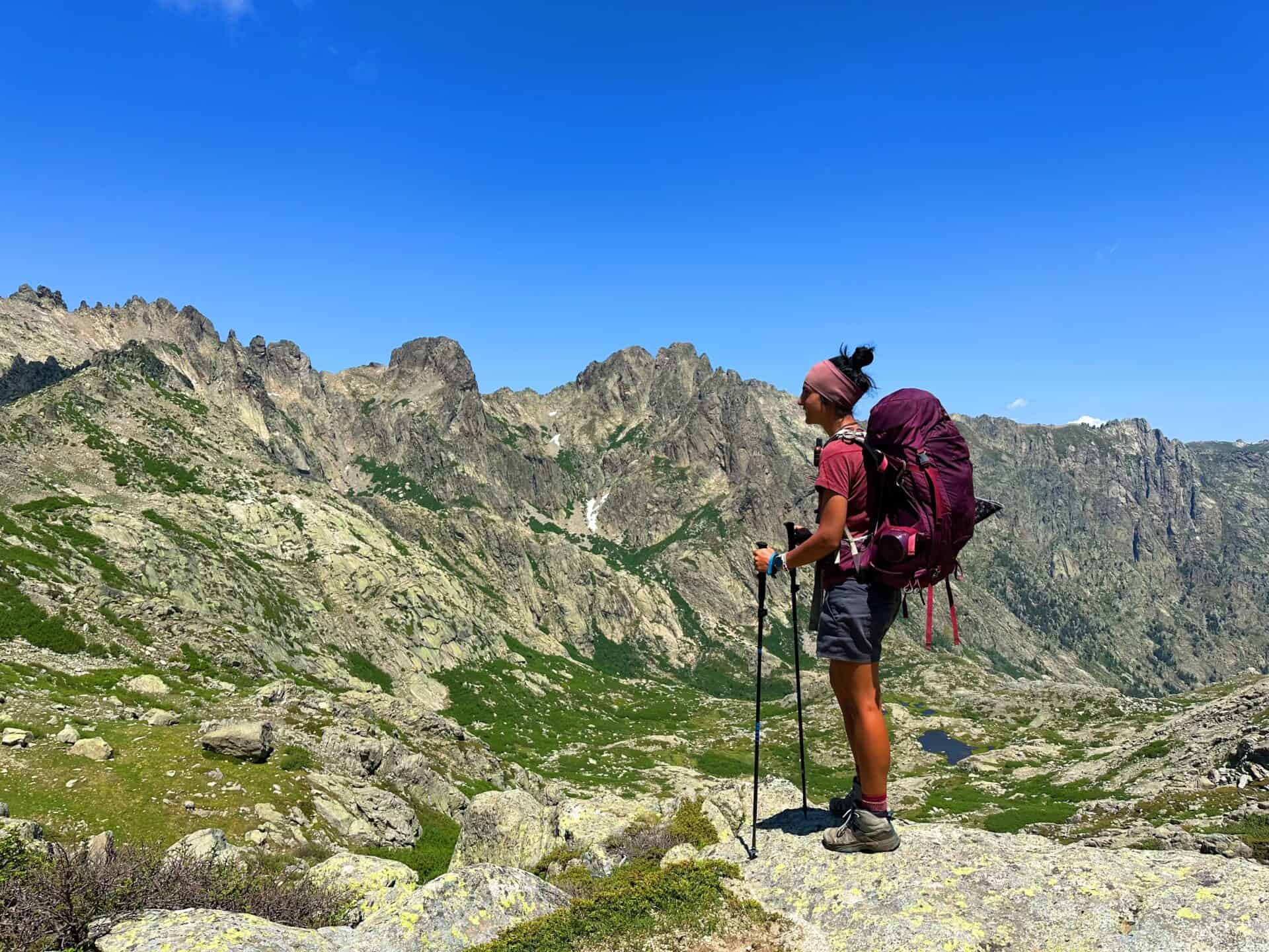
Far from the crowded beaches, in the rugged heart of Corsica, lies the legendary GR20: apparently the most challenging trek in Europe. The hike crosses the entire island diagonally, following ridges, scaling mountains, and leading you to streams with crystal-clear waters and hidden lakes.
Covering 180km and ascending over 12,000 meters in altitude, the GR20 is undoubtedly a demanding adventure.This is the GR 20 Corsica hiking itinerary I have followed. I have doubled up stages and did many variations, suggested by locals to avoid the crowd.
Catch you outside,
Elena
PS: do not attempt to follow my variations if you are not 100% confident and prepared to do so. Stay safe, and happy hiking!
- Where: GR 20, Corsica
- Multi Day Hike
- Elevation Gain: 500+m
- Difficulty: Moderate
- Average Moving Time: 6-7h
- My Moving Time: 4h
DAY 1 | Calenzana to Orto De Piubbu
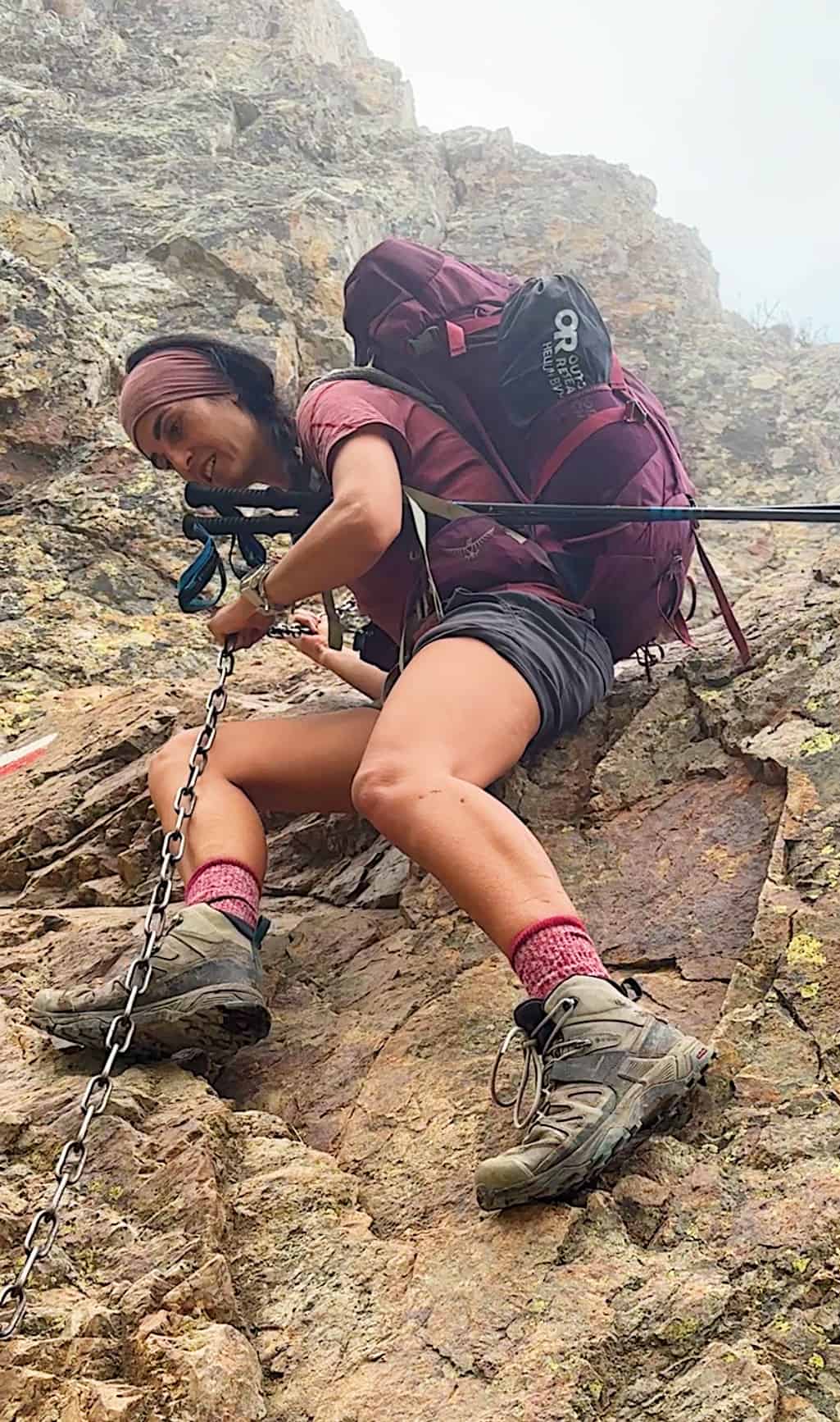
Day 1 on the infamous GR20 sets the mood: 1400m of elevation gain, bouldering with chains, and on top of that it was stinky hot, but finally, I made it to Orto de Piubbu. Stunning location, but not happy with the number of people, feel like I’m on a cruise ship 😅 fingers crossed it will get less crowded!
This section is mostly uphill and easy walk, except for few sections of technical terrain. If you don’t feel comfortable with this section do not continue as it gets harder.
DAY 2 | Orto De Piubbu to Asco
- Walking Track: 13km
- Elevation Gain: 1400+m
- Difficulty: Medium to hard
- Average Moving Time: 10-12h
- My Moving Time: 6.5h
This section merge 2 of the most demanding sections of the trail. Do not attempt to skip Corazzou hut if you arrive past lunchtime as it is still quite a long way to get to Asco.
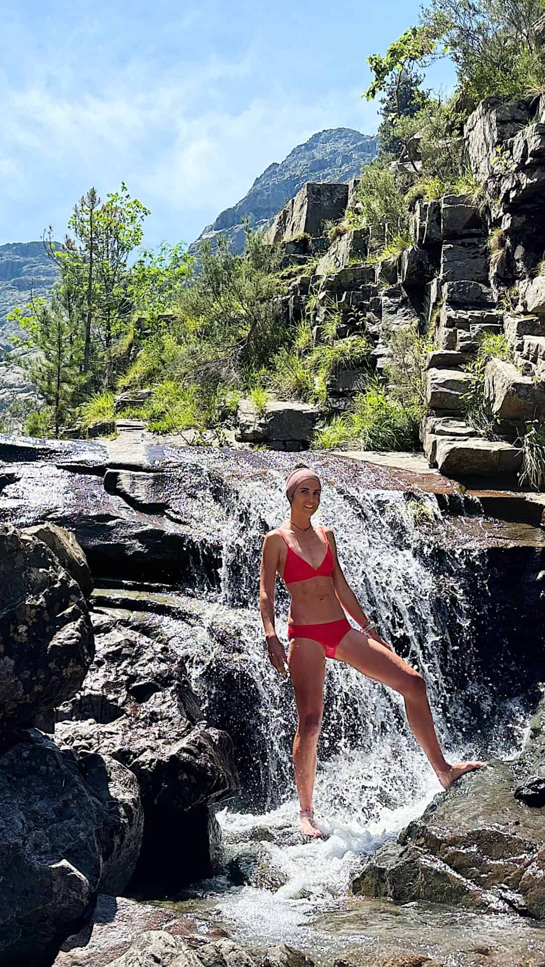
A refreshing waterfall can be found 10min past Corazzou, if you want to find some peace don’t stop where everyone stops, just walk upstream a bit and you will be completely on your own 🥹
I didn’t like Corazzou hut either, as the generator was sooooo noisy! 😣 and that’s why I’ve decided to keep going, but Asco hut is literally a sky resort so not much better either 😂
DAY 3 | Asco to Bergerie du Vallone
- Walking Track: 15.5km
- Elevation Gain: 1690+m
- Difficulty: Medium to hard
- Average Moving Time: 13h
- My Moving Time: 8h
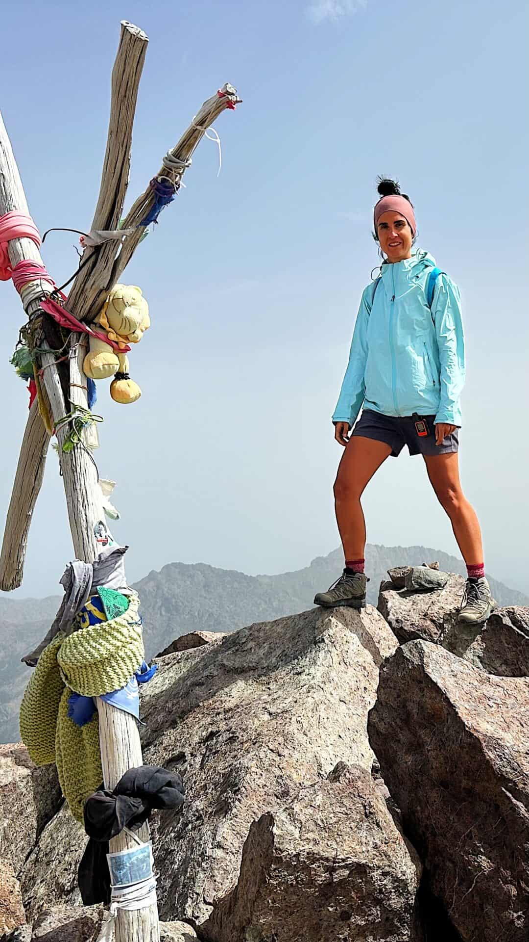
Today started with a steep Climb, unfortunately the passages are very narrow so I was cueing after people. Mid June 2023 there was still snow around but I didn’t carry crampons and still managed to reach the top of Monte Cinto safely. From the fork to the MT cinto summit where I left my pack to be faster and safer on my hike to the top. It took me 45 min to summit the highest mountain in Corsica! The views from Monte Cinto are worthwhile even if I wasn’t lucky enough to get a super clear day. Passed Monte Cinto I was just halfway my journey which led me to another beautiful water stream before arriving to the Bergerie de Vallone where I spent the night…
DAY 4 | Bergerie du Vallone to Bergerie de Vaccaja
- Walking Track: 30km
- Elevation Gain: 1400+m
- Difficulty: Medium to hard
- Average Moving Time: 15h
- My Moving Time: 10h
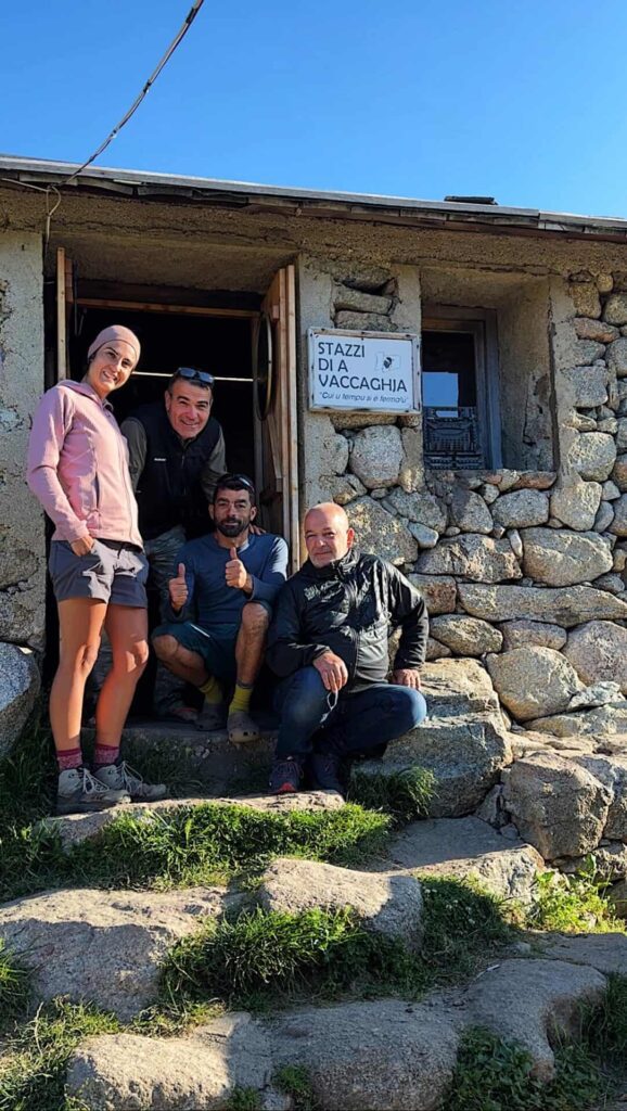
Today was one of the longest day on track. I have started walking at 4.45am. I have founded today pretty crusy and not much technical. But it was very hot (35degrees), so I have stopped few times in the shade relaxing and recharging battery. Bergerie de Vaccaja was the BEST spot where I have spent the night and I became friend with the owner and the people working there.
DAY 5 | Bergerie de Vaccaja to Mt. Rotondo
- Walking Track: 17km
- Elevation Gain: 1800+m
- Difficulty: Medium to hard
- Average Moving Time: 12h
- My Moving Time: 8h
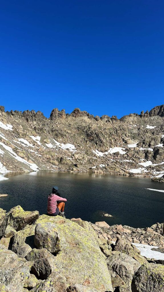
This is in my opinion the best section of the whole GR20 Corsica hiking itinerary. If you are lucky enough to get to Bocca alle Porte in a clear day will leave you speechless. I have probably spent there around one hour jus soaking the views. Once I have reached Pietra Piana, I have decided to keep going up and summit Monte Rotondo, where a local told me that there was a hut where I could sleep. Away from the crowds, literally on top of Monte Rotondo. And so I did.
DAY 6 | Mt. Rotondo to Refuge de L'Onda
- Walking Track: 14km
- Elevation Gain: 500+m
- Difficulty: Moderate
- Average Moving Time: 9h
- My Moving Time: 6.5h
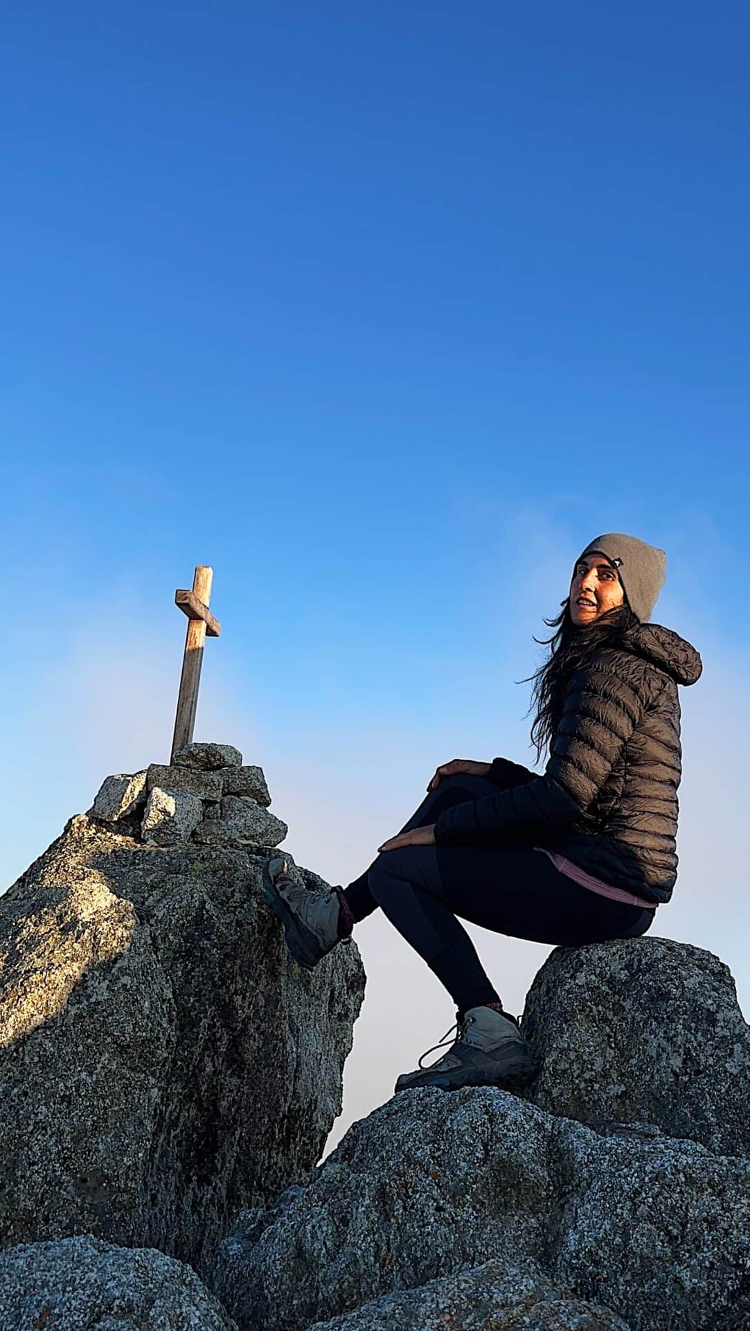
Despite not being my best night because it was so windy and noisy, I woke up for sunrise and started the descending only at around 9am. Once I arrived back at the Refuge de Pietra Piana I had a decision to make. Taking the alpine way or the normal one. Since it was very hot again I have opted to take the normal route, as I knew I could have found streams to swim and refresh myself. After taking a nap I pushed the last few km to get to the next hut, Refuge de L’Onda.
DAY 7 | Refuge de l'Onda to Mt.Renoso (VIA PINZI CORBINI)
- Walking Track: 18km
- Elevation Gain: 1800+m
- Descent: 1400+m
- Difficulty: Moderate to hard
- Average Moving Time: 14h
- My Moving Time: 9h
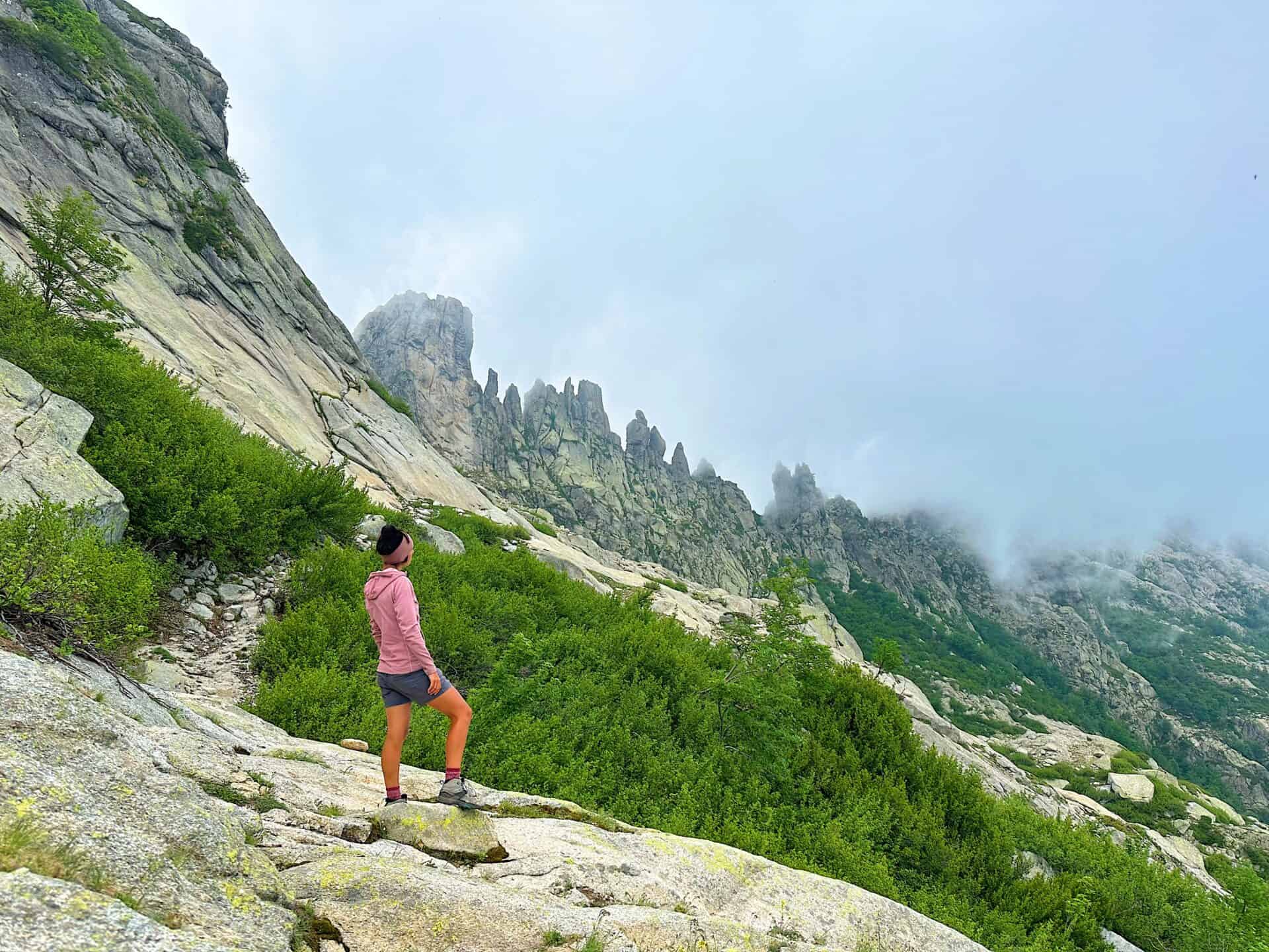
Today I had plan another variant, suggested by the locals: the Pinzi Corbini one.
After a long (way tooo long) descending to get to Vizzavona, which marks the halfway of the whole GR20.
Pinzi Corbini way is not a joke, as it is not well marked as the rest of the trail. The only signs are cairns so yo need to pay extreme attention to those. Some sections are also technical, so do not attempt it if you are not comfortable with bouldering with a backpack and your navigation skills are not good. I barely met a soul and this variant led me straight to Monte Renoso.
DAY 8 | Mt.Renoso to Refuge L'Usciolu
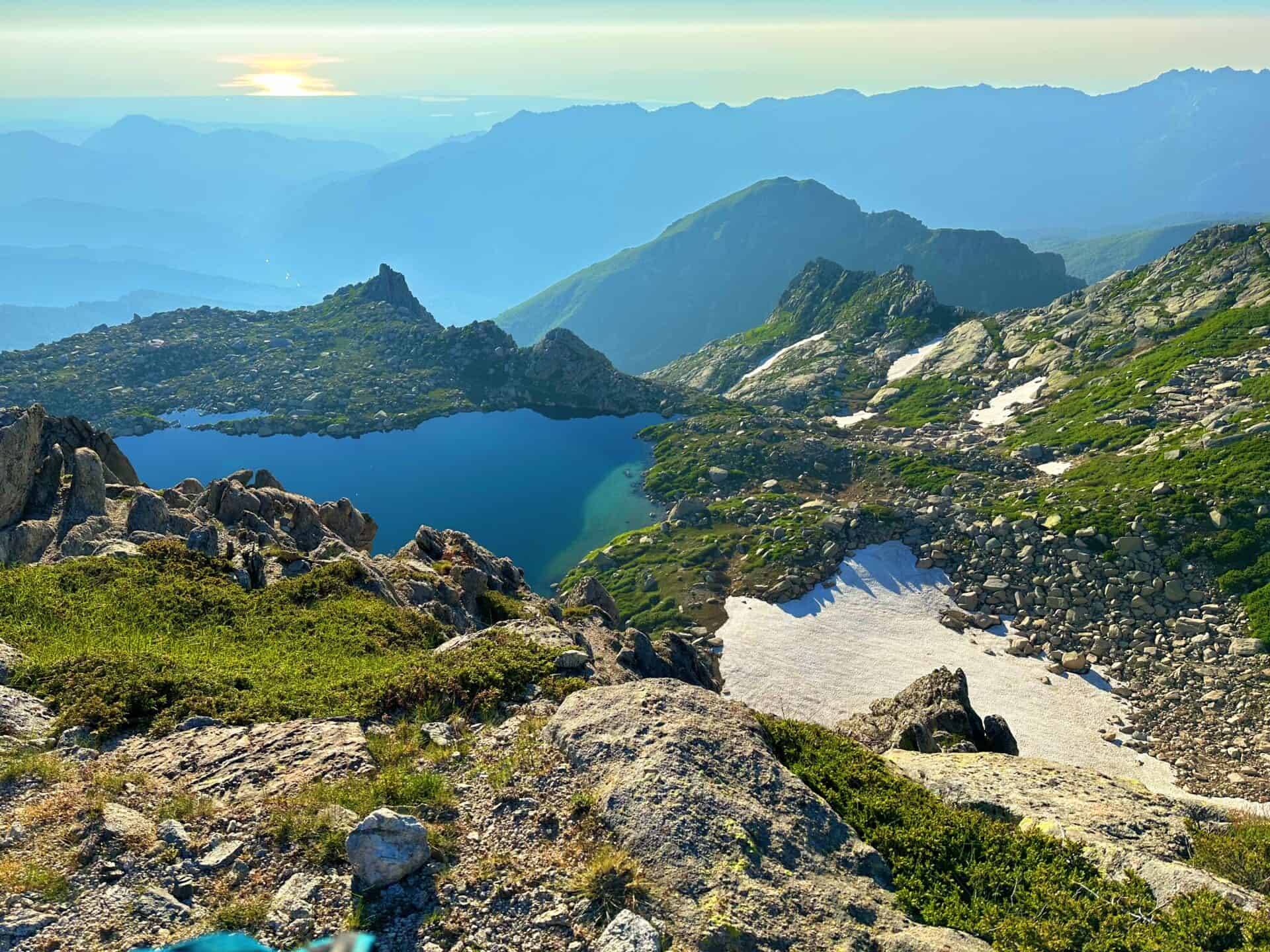
- Walking Track: 30km
- Elevation Gain: 2160+m
- Descent: 2070+m
- Difficulty: Moderate to hard
- Average Moving Time: 14h
- My Moving Time: 9h
Day 8 was the most challenging day for me. I was quite tired and the elevation gain and descending were quite crazy… so if you follow this itinerary, trust me and camp at Refuge Prati, which is an amazing spot for the night and you will be able to enjoy more the day. There is no point in arriving super late at the refuge and barely having time to relax and recover.
DAY 9 | Refuge Usciolu to Bergerie I Croci
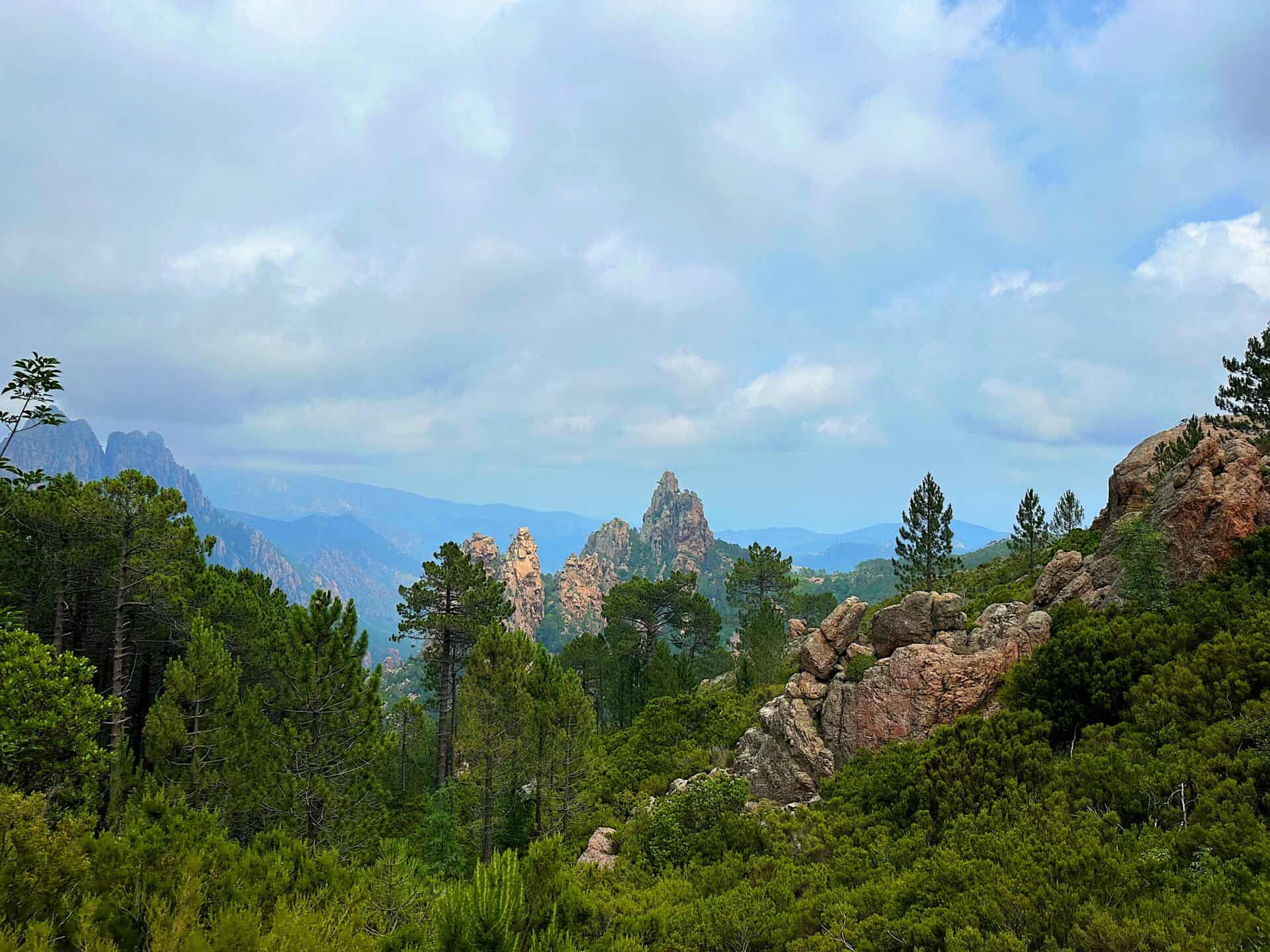
- Walking Track: 14km
- Elevation Gain: 600+m
- Descent: 719+m
- Difficulty: Easy
- Average Moving Time: 6h
- My Moving Time: 4.5h
I was so tired from day 8 that I have decided to take day 9 of this GR 20 Corsica hiking itinerary, very slowly so, despite waking up at 6.30 am I left the campsite only at around 10am. This section of the GR20 was probably the most cruisy one: not much of elevation gain and short km, gave me the time to take a nap after lunch around the river and get to Bergerie I croci, where I have decided to spend the night and have a meal there.
DAY 10 | Bergerie I Croci to Conca
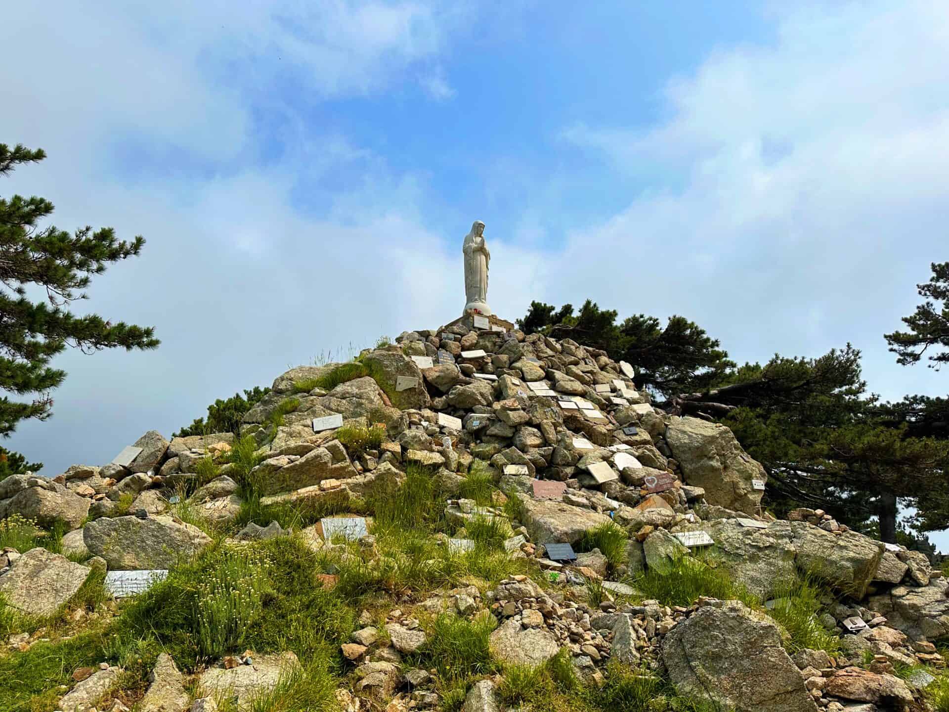
- Walking Track: 33km
- Elevation Gain: 1650+m
- Descent: 2892+m
- Difficulty: Moderate to hard
- Average Moving Time: 16h
- My Moving Time: 11h
Today I was on a mission. Only 33k where dividing me from the end trail. So I left campsite at 4.30am to allow myself plenty of time to get to Conca. I was beyond excited to have completed this track, but a bit sad at the same time as I was surprised by the beauty of Corsica. It’s full of hidden gems so I will definitely come back!
If you would like me to help you organizing the GR20 please book the GR20 Hike consultation below 🙂
Catch You Outside,
Elena
Frequently Asked Questions
Dog allowed?
Yes, You can take your puppy… but only if you collect their 💩!!
Where to sleep? Tent?
- Not many accommodations along the Alta Via, so plan to stay in B&Bs or hotels in coastal villages.
- Book in advance, especially during peak seasons, as demand is high.
- If you stay up on the Alta Via there are plenty of places where you can set up a tent, but bear in mind that you need to think about water and food supplies
Difficulty
It doesn’t present any major challenge, but make sure you are happy with elevation gain
Credentials?
There are no credentials.
Best months to hike it?
- The mild climate makes the Alta Via suitable for year-round hiking, but would avoid July and August. (I did it in August and it was way too hot).
- As usual, check weather forecasts for safety, avoiding the trail during heavy rain or strong winds.
What to bring?
- Wear sturdy, comfortable hiking shoes suitable for various terrains. It is not a walk in the park and is more challenging than expected.
- Carry trekking poles for stability.
Trail waymarking
- Marked trail with signage, but it could be improved.
- Especially if you don’t speak Italian, I would recommend having a gpx map with you.
Planning Information
Cinque Terre and sourroundigs areas can get packed and fully booked quite in advance. So make sure you book your stays and plan the whole hike in advance.
Getting there & Away
Few options:
- I recommend starting in Levanto, which is accessible by train from La Spezia or Milan. Trains are the most practical mode of transportation between Cinque Terre villages.
- If you want to start from Porto Venere, then you need to get a bus 11/P from La Spezia
- If you travel by car consider leaving your car in Campiglia, a village midway between Portovenere and Telegrafo and then getting to the beginning of the trail (hitchhiking, hiking, booking a taxi in advance…)
Permits & Fees
No Permits required.
IMPORTANT: Pay close attention to the data contained in this description.
They may be incomplete or outdated. The paths may change over time due to bad weather, fires or simply the change of seasons. Check in the comments if anyone has made any reports or recommended any changes.
Do you still have a question?
"Discover Italy Like a Local" Consultation
I always try to write everything I can to give the best possible informations, but if you feel like you need a specific and tailored consultation, feel free to book a one-on-one consultation to address your concerns, answer your questions, and provide support throughout the planning process.❤️
