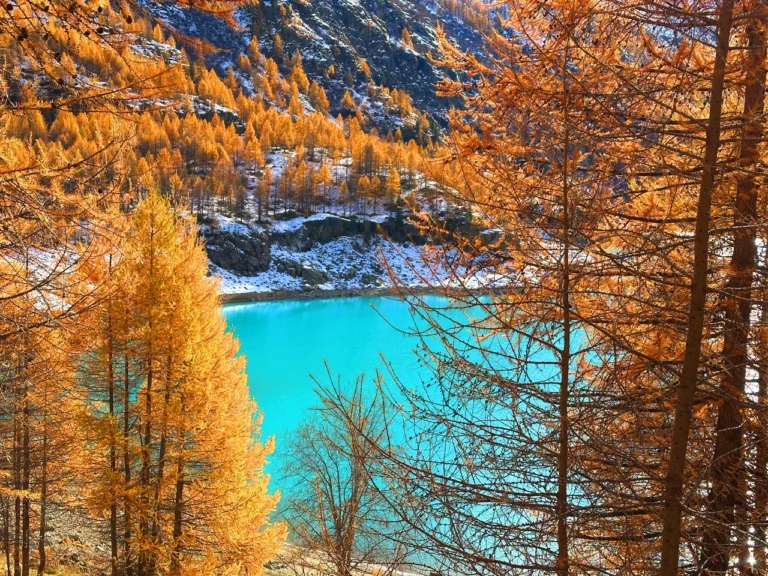
Alta Via dei Parchi, Emilia Romagna, Italy
The Alta Via dei Parchi is an incredible hiking itinerary that traverses the Apennines between Emilia-Romagna, Tuscany, and the Marche.
This route crosses two national parks, five regional parks, and one interregional park, showcasing the best of the Apennine Mountains.
The entire trail is approximately 500 km long, with over 30,000 meters of elevation gain, and is divided into 27 stages. I have only done a short section, though supposed to be the most scenic one, from Berceto to Abetone. Whether you choose to tackle the entire route or just a few stages, the accessibility via public transport and private taxis makes it convenient for any hiker.
Though less celebrated than the Aosta Valley and the Dolomites, the Apennines provide breathtaking views and a sense of remoteness that’s rare to find in Italy.
So I definitely encourage you to tackle this hike.
Catch you outside,
Elena
- Where: Emilia Romagna
- Multi Day Hike
- Distance: 120 km
- Average Duration: 5-6 days
- Difficulty Level: Medium to Hard
- Total Elevation Gain: 7.445m
- Point to Point
- Start/Finish: Berceto to Abetone
Who is this hike for?
This hike is for experienced hikers ONLY! It is marked, but some sections are very exposed and the elevation gain is fair. I recommend having a GPX trace, especially if you don’t speak Italian. As usual, make sure to be well-prepared for any emergency.
Day 1 | Berceto to Lago Santo Parmense
- Distance: 19km
- Elevation Gain: 1378m
- Average Duration: 6-7h
- Difficulty level: Easy to Medium
- Start/Finish: Berceto to Lago Santo Parmense
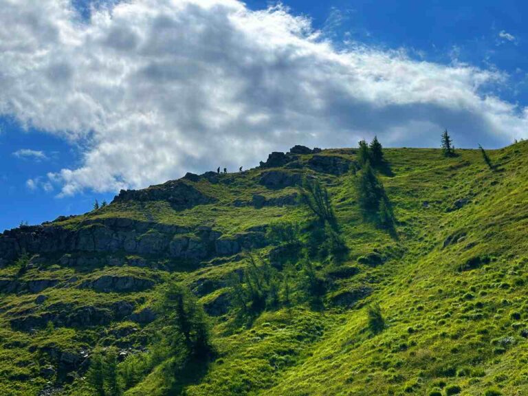
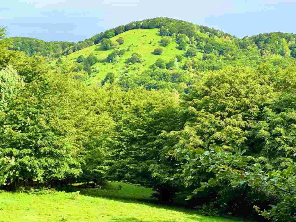
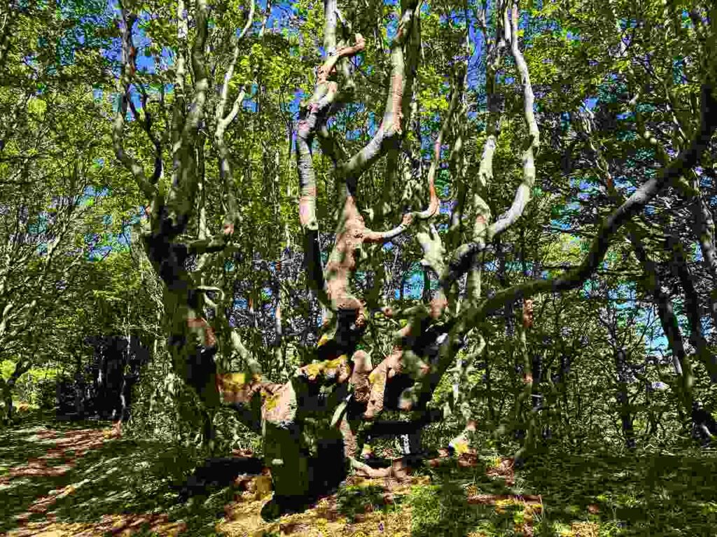
My journey began in Berceto at the hostel Passo della Cisa, and from there, I hiked towards the Cisa Pass. This pass is a strategic crossroads for many treks, including the Via Francigena, the European Path 1, the GEA, and the Sentiero Italia. Upon reaching the Tuscan-Emilian ridge, I was greeted by beech forests to the east and the cliffs leading to the Cinque Terre sea to the west.
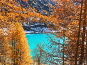
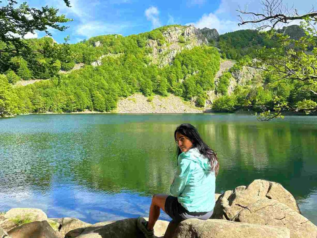
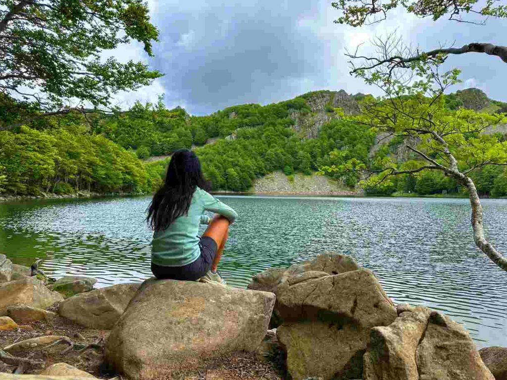
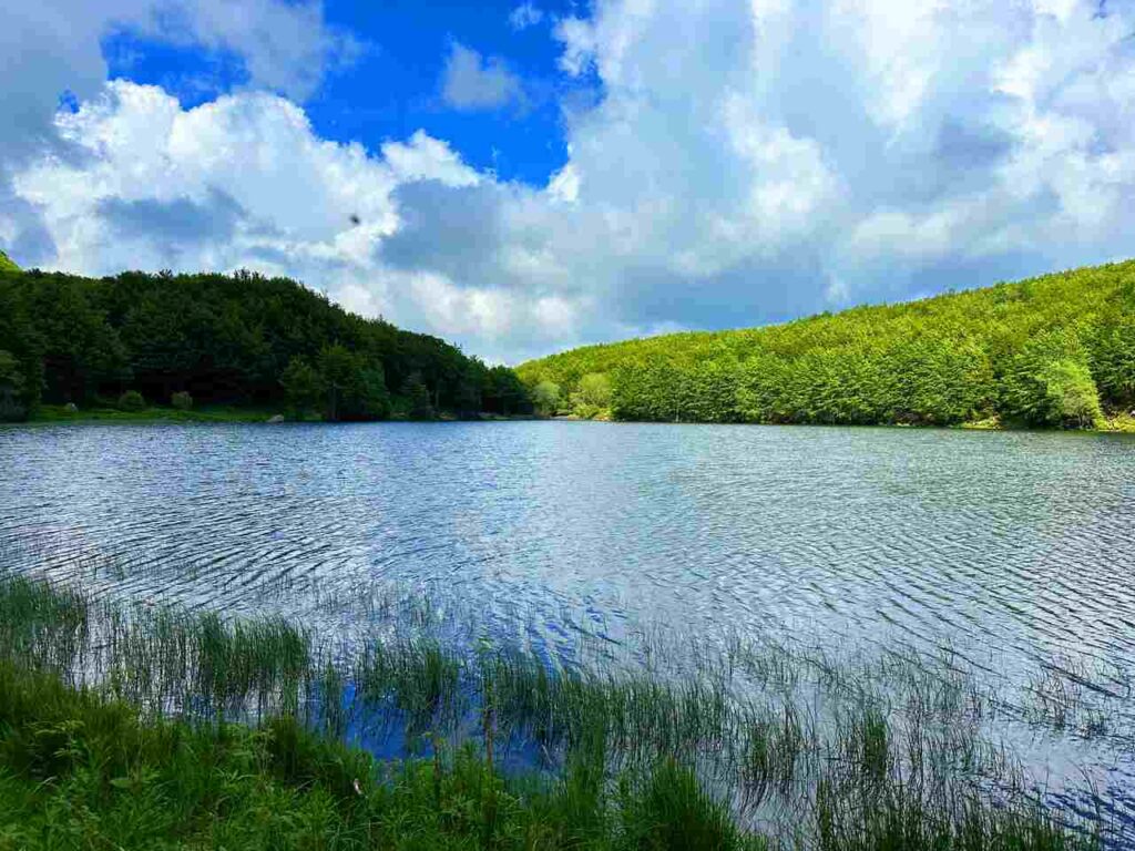
On a clear day, you can see Monviso to the northwest (my favorite mountain in Italy), and to the south, the Apuan Alps. I set up camp at Rifugio Mariotti, where I met the lovely Martina. If you ever do this hike and stop there, please say hi to her for me. Rifugio Mariotti, located on the shores of Lago Santo Parmense, was probably my favourite spot for the hike.
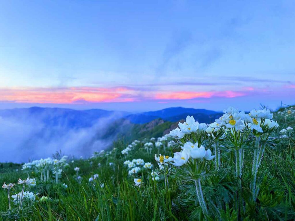
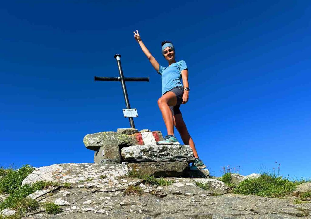
Despite a cloudy night, Martina and I decided to hike to the top of Monte Marmagna (1852 meters) to watch the sunset. Although we were surrounded by clouds, Martina mentioned that on a clear day, you can spot the Gulf of La Spezia and even Corsica.
Day 2 | Lago Santo Parmense to Passo Cerreto
- Distance: 32km
- Elevation Gain: 2,096m
- Average Duration: 10-11h
- Difficulty level: Hard
- Start/Finish: Lago Santo Parmense - Passo Cerreto
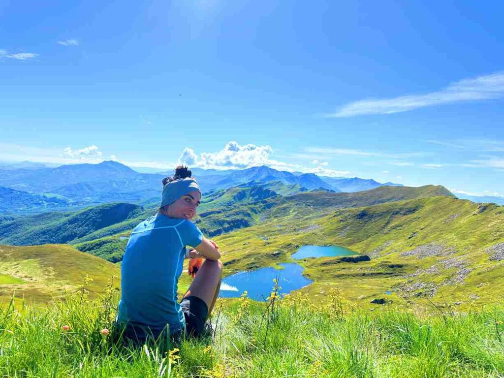
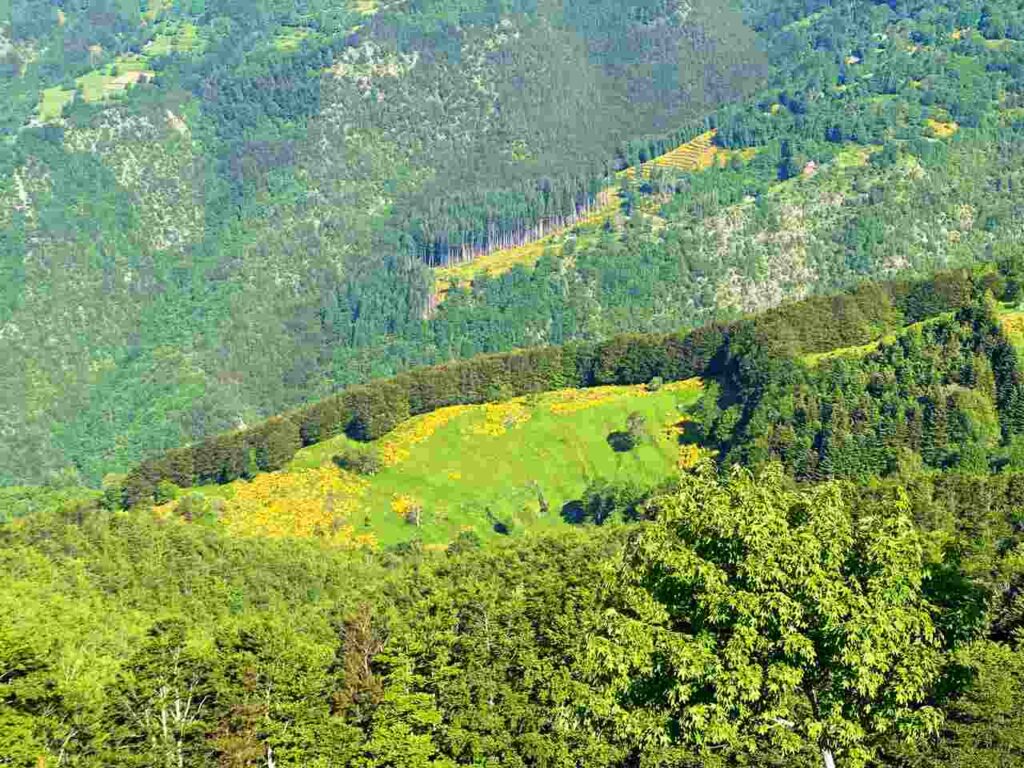
The morning greeted me with sunshine. From the ridge, I could see the thick woods of Tuscany Lunigiana on one side and scattered small lakes on the Emilian side.
Day 2, up to the Hut Città di Sarzana, is probably the most spectacular section of the Alta Via dei Parchi. The hut can be a perfect resting point if you divide this section into two parts.
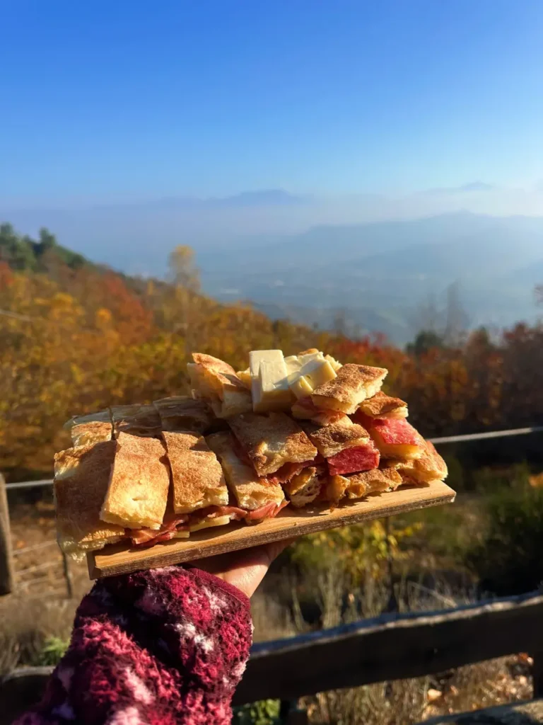
I continued to Passo Cerreto, where you can enjoy gnocco fritto. This was a very long and tiring day for me, so I wouldn’t recommend it unless you’re well-trained. Ending the day at Hut Città di Sarzana is ideal for most hikers.
Day 3 | Passo Cerreto to Le Maccherie
- Distance: 32km
- Elevation Gain: 1.849m
- Average Duration: 9-10h
- Difficulty level: Medium to Hard
- Start/Finish: Passo Cerreto to Rifugio Le Maccherie
On the third day, I hiked through the wild and beautiful Vallone dell’Inferno and passed the picturesque Rosario bivouac, which resembles a rough hut straight out of Robinson Crusoe. Inside, there’s a wood stove and many old comics. Continuing onward, I reached an old abandoned radio station at the top of Monte La Nuda.
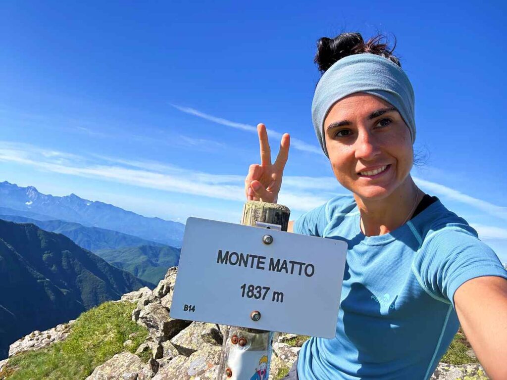
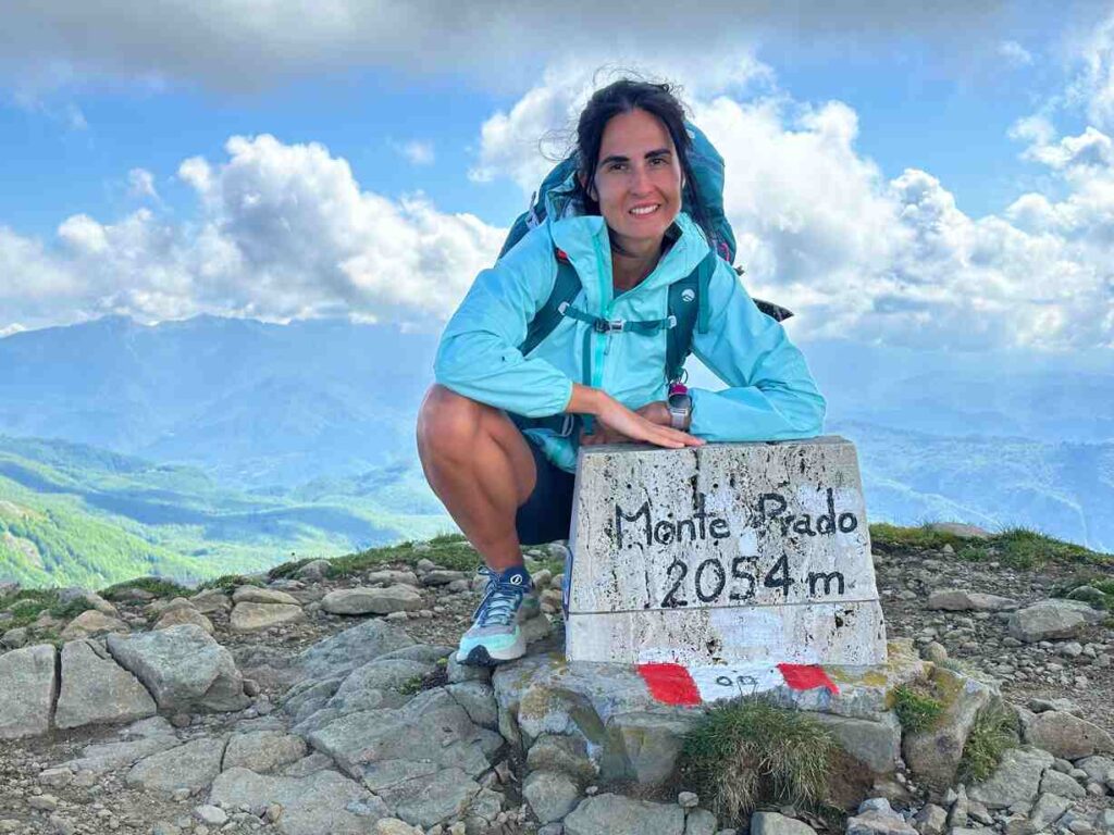
Passing the Pradarena Pass, the trail continues around Monte Prado (2054 meters, the highest in Tuscany) through peat bogs and blueberry moors. Blueberries are abundant in the Modena Apennines and are known for their therapeutic properties, including improving night vision. Royal Air Force pilots extensively used blueberries during World War II during their night raids.
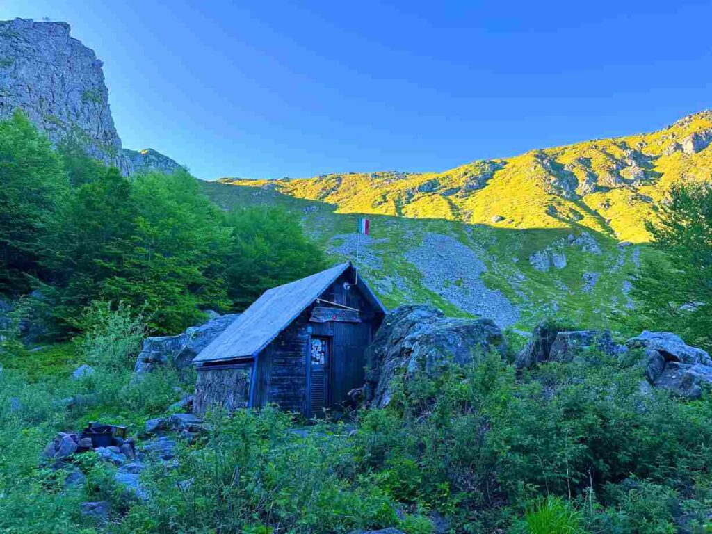
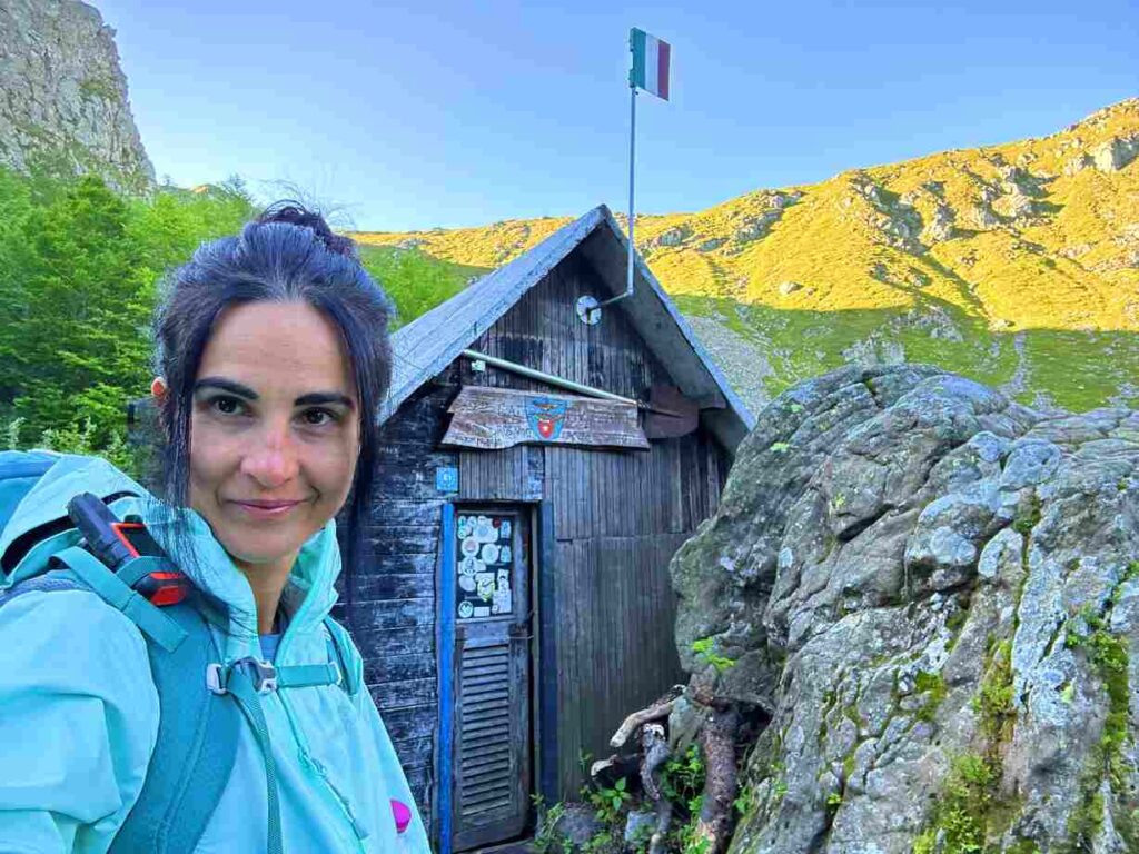
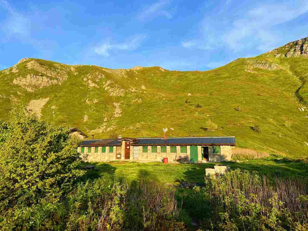
For the night, I stopped a few kilometres before Passo delle Radici, near a Le Maccherie hut surrounded by flowers. You can rent this whole hut or camp outside, like I did.
Day 4 | Le Maccherie to Lago Nero
- Distance: 32km
- Elevation Gain: 1.792m
- Average Duration:10-11h
- Difficulty level: Medium to Hard
- Start/Finish: Rifugio Le Maccherie to Lago Nero
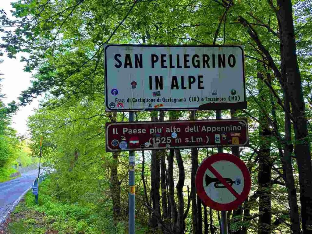
From Passo delle Radici, I reached San Pellegrino in Alpe, the highest inhabited village in the Apennines. Its ancient sanctuary holds the remains of San Pellegrino, who, according to tradition, was the son of the King of Scotland. He renounced his crown and travelled Europe on foot, eventually living as a hermit in San Pellegrino.
Nearby is the “Giro del Diavolo” (Devil’s Tour). Legend has it that the devil transformed into a beautiful girl to tempt Pellegrino. However, Pellegrino remained impassive, which angered the devil, leading to a violent confrontation that created the natural arch of Monte Forato.
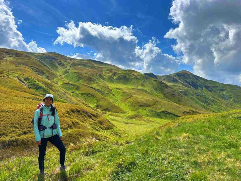
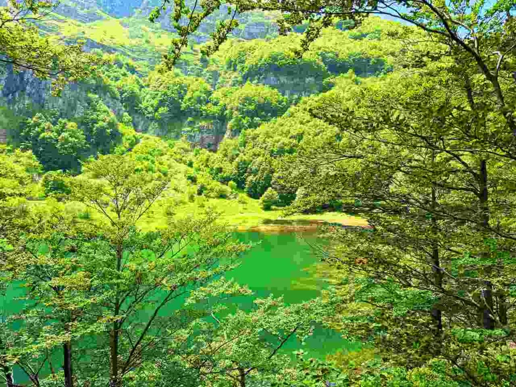
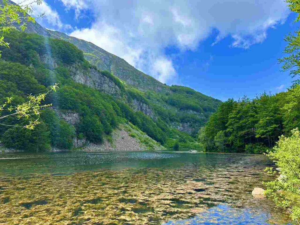
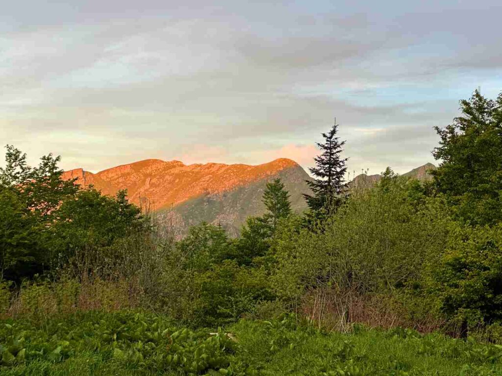
With my eyes set on Corno alle Scale and Monte Gennaio, the last great peaks of the Tuscan-Emilian Apennines, I descended to Lago Santo Modenese, nestled in a glacial cirque. This area is of extreme scenic interest, perfect for exploring if you have the time.
From there, I hiked to Mt Rondinaio (a steep and exposed descent) to continue to Lago Nero, where I stayed in the bivouac. Although it was closed when I visited, I learned that if it’s open, there is no electricity, and the interior is lit only by candles, creating an intimate and camaraderie-inducing atmosphere.
Day 5 | Lago Nero to Abetone
- Distance: 6km
- Elevation Gain: 228m
- Average Duration: 2h
- Difficulty level: Easy
- Start/Finish: Lago Nero to Abetone
The next day’s walk to Abetone was short and downhill, allowing me to enjoy a lazy morning at Bivouac Lago Nero.
This journey through the Alta Via dei Parchi was an unforgettable experience, offering a blend of challenging hikes, stunning landscapes, and rich history. If you’re looking for a hike that takes you off the beaten path and deep into Italy’s natural beauty, this trail is a must.
👇🏻Feel free to book a “Discover Italy like a Local” with me 👇🏻
Catch You Outside,
Elena
Frequently Asked Questions
6 Days Suggested Itinerary
Berceto – Lago Santo Parmense 18km- 1225m D+
Lago Santo Parmense 21,3km – 1293m D+
Rifugio Città Sarzana – Passo Pradarena 18,6km- 1155m D+
Passo di Pradarena – Passo delle Radici 23,7km- 751m D+
Passo delle Radici – Bivacco Lago Nero 24,1km – 956m D+
Bivacco Lago Nero – Abetone 6km – 220m D+
Dog allowed?
Yes, You can take your puppy… but only if you collect their 💩!!
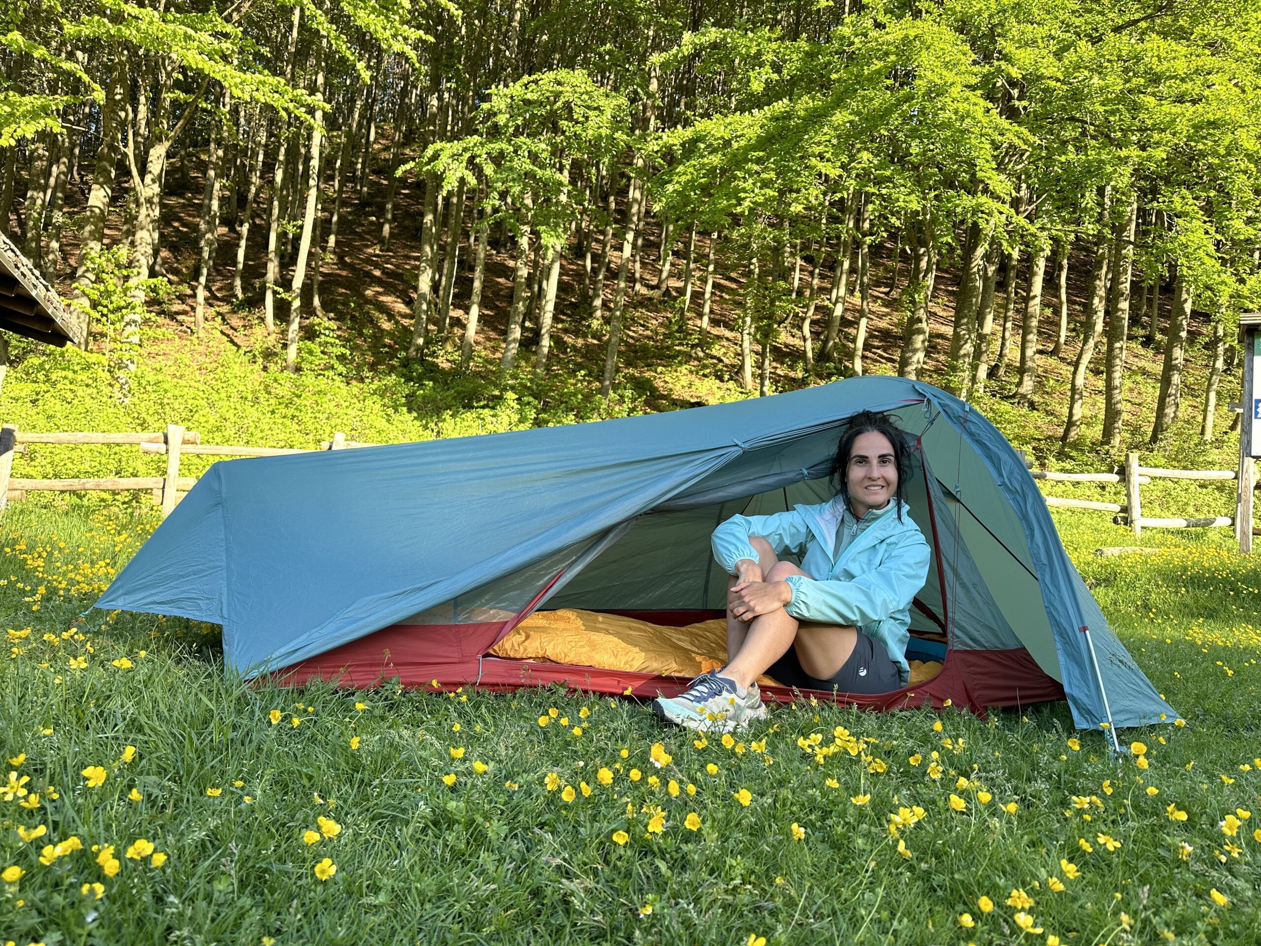
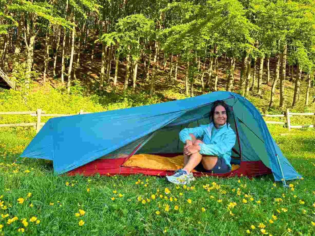
Where to sleep? Tent?
You can do it by tent, always allowed near the Huts, and you can bivouac from Sunset to Sunrise.
You can also stay in the huts, but make 100% sure they are open. I did it in mid season and mostly were closed.
Difficulty
Some sections are EE (experienced hikers). Lots of elevation gains, windy on top of the ridge.
Credentials?
There are no credentials.
Best months to hike it?
- Spring to Autumn.
- As usual, check weather forecasts for safety, avoiding the trail during heavy rain or strong winds.
What to bring?
- Wear sturdy, comfortable hiking shoes suitable for various terrains. It is not a walk in the park and is more challenging than expected.
- Carry trekking poles for stability.
Trail waymarking
- Marked trail with signage, but it could be improved.
- Especially if you don’t speak Italian, I would recommend having a gpx map with you.
Planning Information
Many huts are closed during mid-season, or they open only during the weekends.
Getting there & Away
Few options:
- I recommend starting in Berceto, which is accessible by train from Parma and then getting a private taxi from Berceto to the hostel.
- To come back get the bus from Abetone to Modena, where you can get trains to pretty much anywhere.
Permits & Fees
No Permits required.
IMPORTANT: Pay close attention to the data contained in this description.
They may be incomplete or outdated. The paths may change over time due to bad weather, fires or simply the change of seasons. Check in the comments if anyone has made any reports or recommended any changes.
Do you still have a question?
"Discover Italy Like a Local" Consultation
I always try to write everything I can to give the best possible informations, but if you feel like you need a specific and tailored consultation, feel free to book a one-on-one consultation to address your concerns, answer your questions, and provide support throughout the planning process.❤️