Cammino di San Filippo Neri, Lazio, Italy
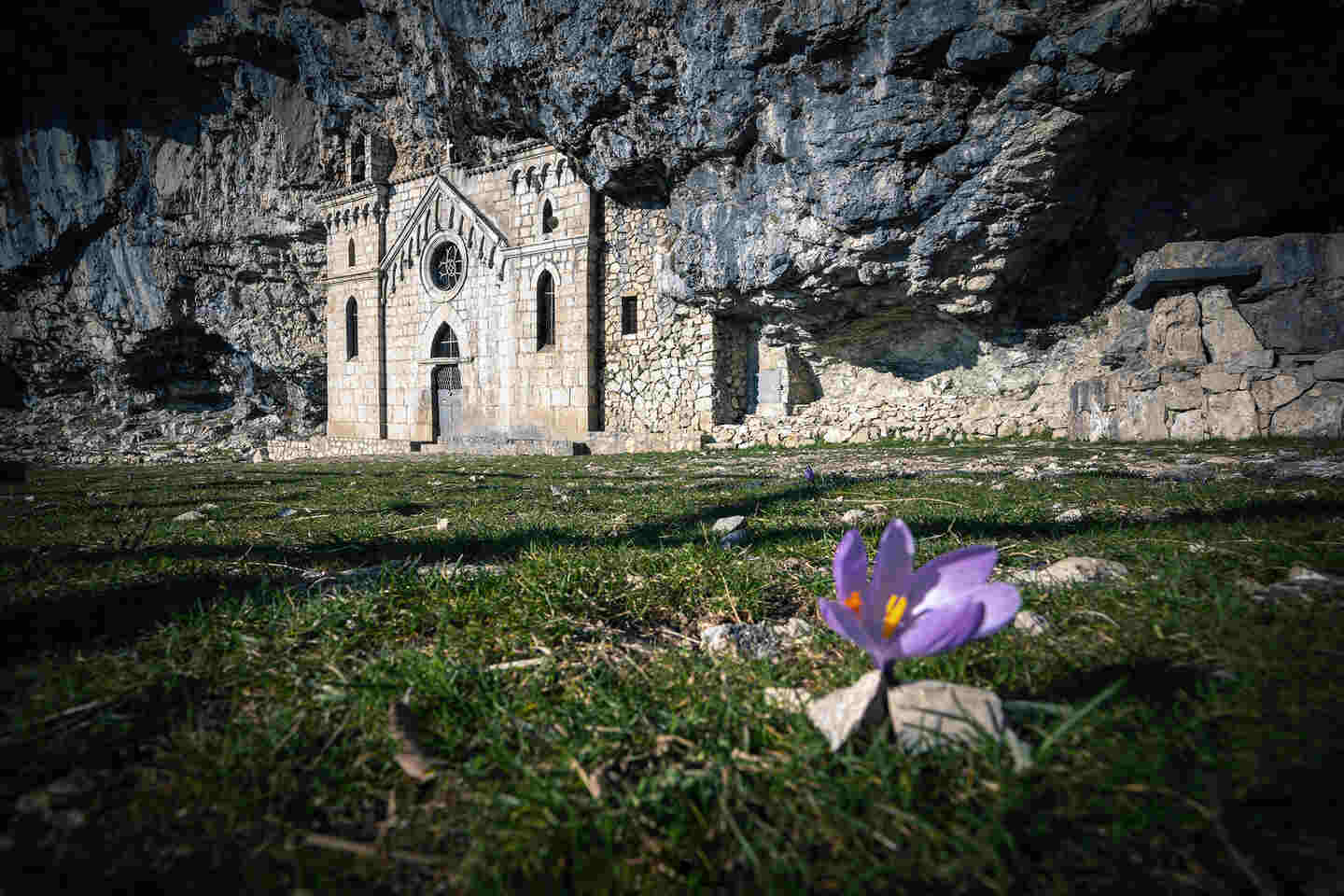
The Cammino di San Filippo Neri is a route passing through the heart of southern Lazio, offering hikers the chance to discover a corner of Italy rich in history, untouched nature, and spirituality. This path is perfect for those who want to explore the beauties of central Italy independently, away from the more crowded routes, and immerse themselves in a mountainous landscape.
With well-marked stages and a deep connection to local and authentic traditions, the Cammino di San Filippo Neri is the perfectt choice for both experienced hikers and beginners
Catch you outside,
Elena
- Where: Lazio
- Multi Day Hike
- Distance: 120 km
- Average Duration: 7 days
- Difficulty Level: Medium
- Total Elevation Gain: 3400m
- Point to Point
- Start/Finish: Cassino to Gaeta
Who is this hike for?
This hike is ideal for those who love spiritual and historical pilgrimages, but also for trekking enthusiasts who want to experience a path far from the crowded classic trails. Along the way, you will find places for meditation and peace, as well as historical reminders tied to World War II.
Day 1 | Cassino to Sant’Angelo in Theodice
- Distance: 18 km
- Elevation Gain: 160m
- Average Duration: 5-7h
- Difficulty level: Easy
- Start/Finish: Cassino to Sant'Angelo in Theodice
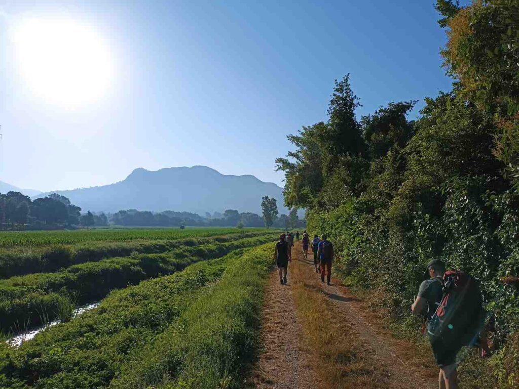
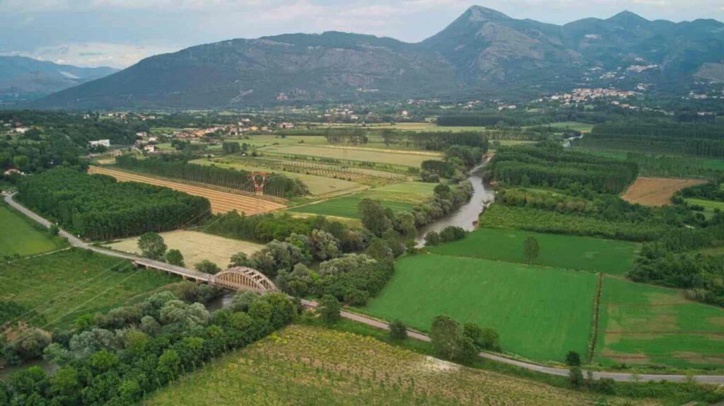
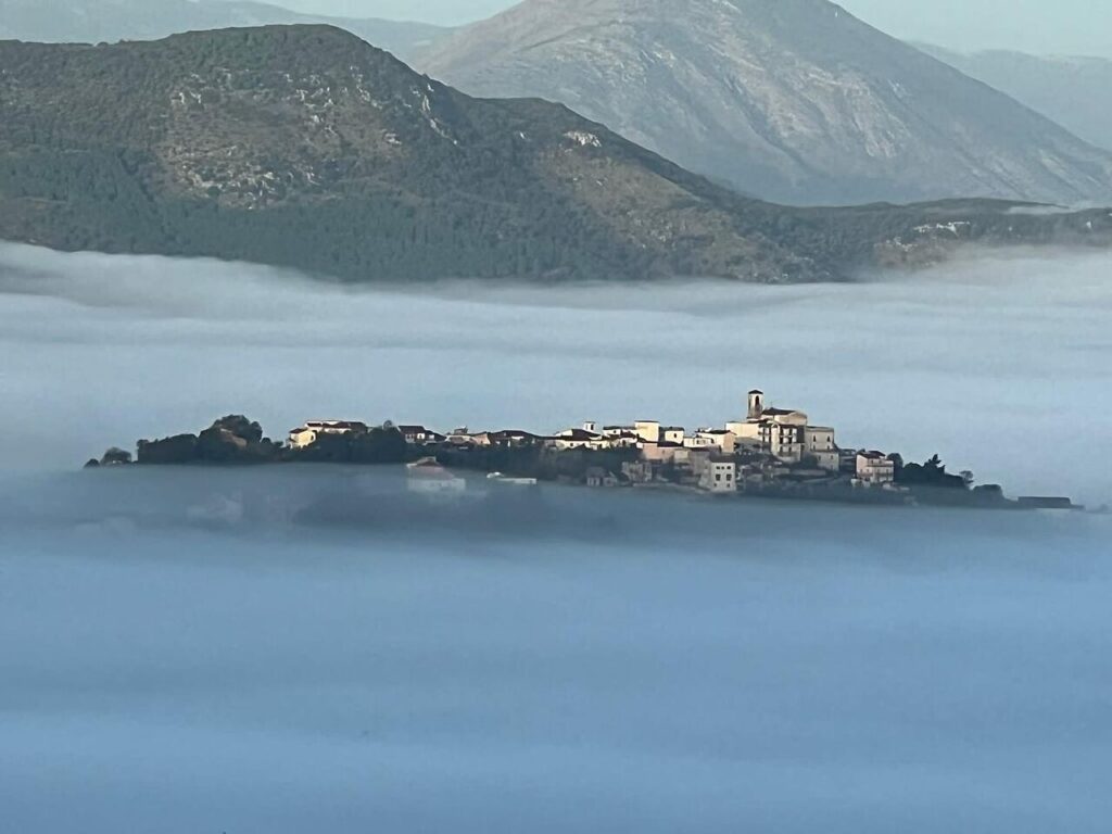
The first stage of the Cammino di San Filippo Neri starts from the Gari river springs in Cassino, a symbolic place tied to World War II. The route follows the Gari River, also known as “the river of four battles,” and continues to Sant’Angelo in Theodice, a small village that houses the peace bell, a symbol of the conflict’s suffering. Walking along the Gari and Garigliano rivers, you might encounter otters, which have recently returned to this area. Along this stage, the hiker is immersed in a bucolic landscape surrounded by fields and hills.
Day 2 | Sant’Ambrogio sul Garigliano to Bosco d’Olmi
- Distance: 12km
- Elevation Gain: 120m
- Average Duration: 4h
- Difficulty level: Easy
- Start/Finish: Sant'Ambrogio sul Garigliano to Bosco d’Olmi
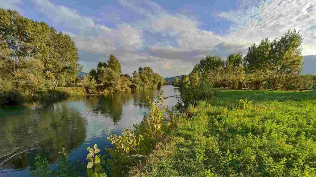
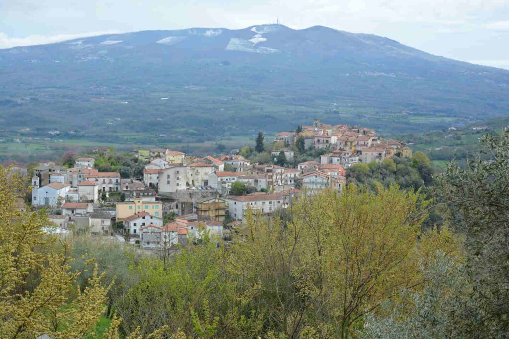
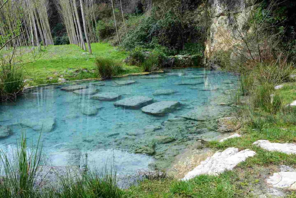
From Sant’Ambrogio sul Garigliano, a flat path along the right bank of the Garigliano River leads to the Bosco d’Olmi area in Sant’Andrea del Garigliano. This territory is surrounded by hills and mountains. The final kilometres before the Salomone spring, with its fresh and drinkable sulphur water, pass through a stunning area where you can spot species such as the European Bee-eater and the Night Heron, as well as the European Pond Turtle (Emys Orbicularis), Italy’s only native freshwater turtle.
Day 3 | Sant’Andrea del Garigliano to Madonna del Piano
- Distance: 18km
- Elevation Gain: 900m
- Average Duration: 6h
- Difficulty level: Hard
- Start/Finish: Sant'Andrea del Garigliano to Madonna del Piano
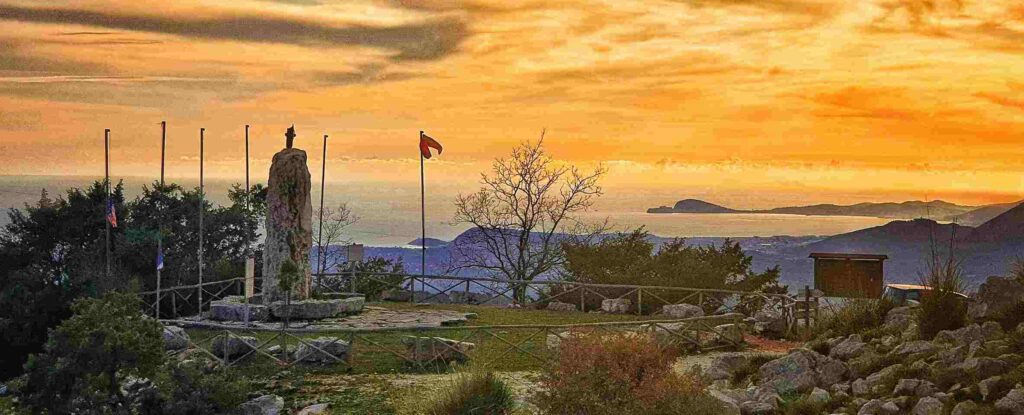
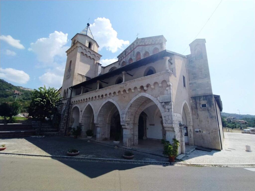
This stage leads to the Madonna del Piano sanctuary, a place rich in charm and spirituality. Along the way, you will pass through Coreno Ausonio, a mountain village overlooking the Tyrrhenian Sea, surrounded by the nature of the eastern Aurunci Mountains. The route offers spectacular views and passes through historic paths once traveled by ancient civilizations.
Day 4 | Madonna del Piano to Esperia
- Distance: 12km
- Elevation Gain: 400m
- Average Duration: 4h
- Difficulty level: Easy to Medium
- Start/Finish: from Madonna del Piano to Esperia
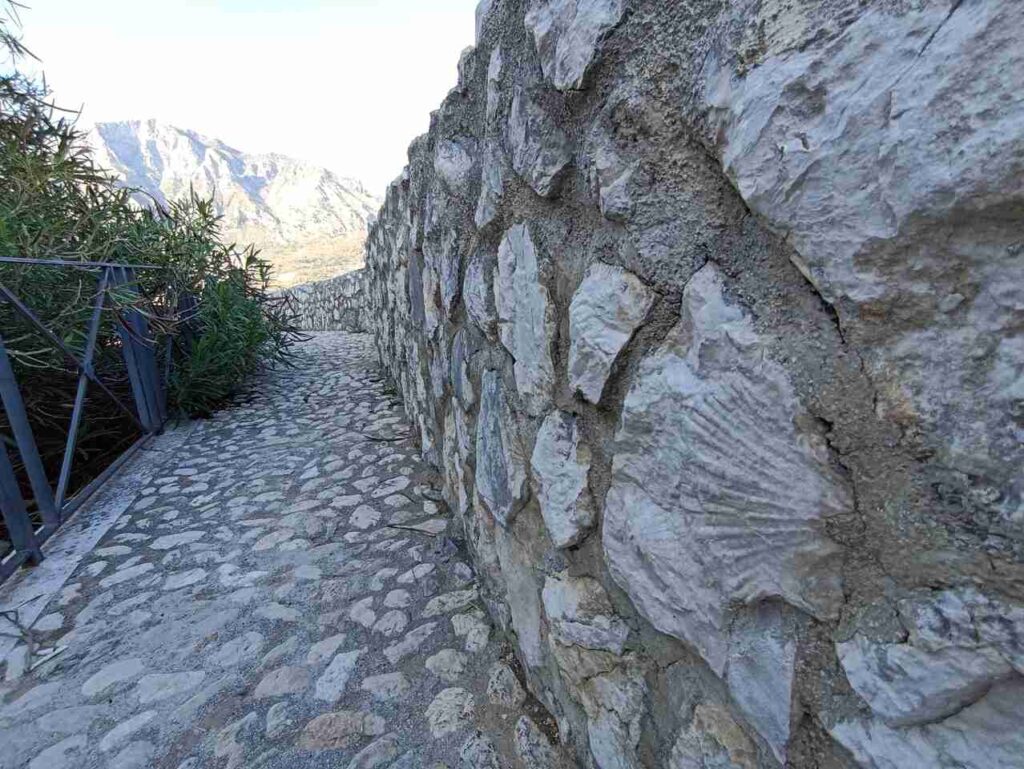
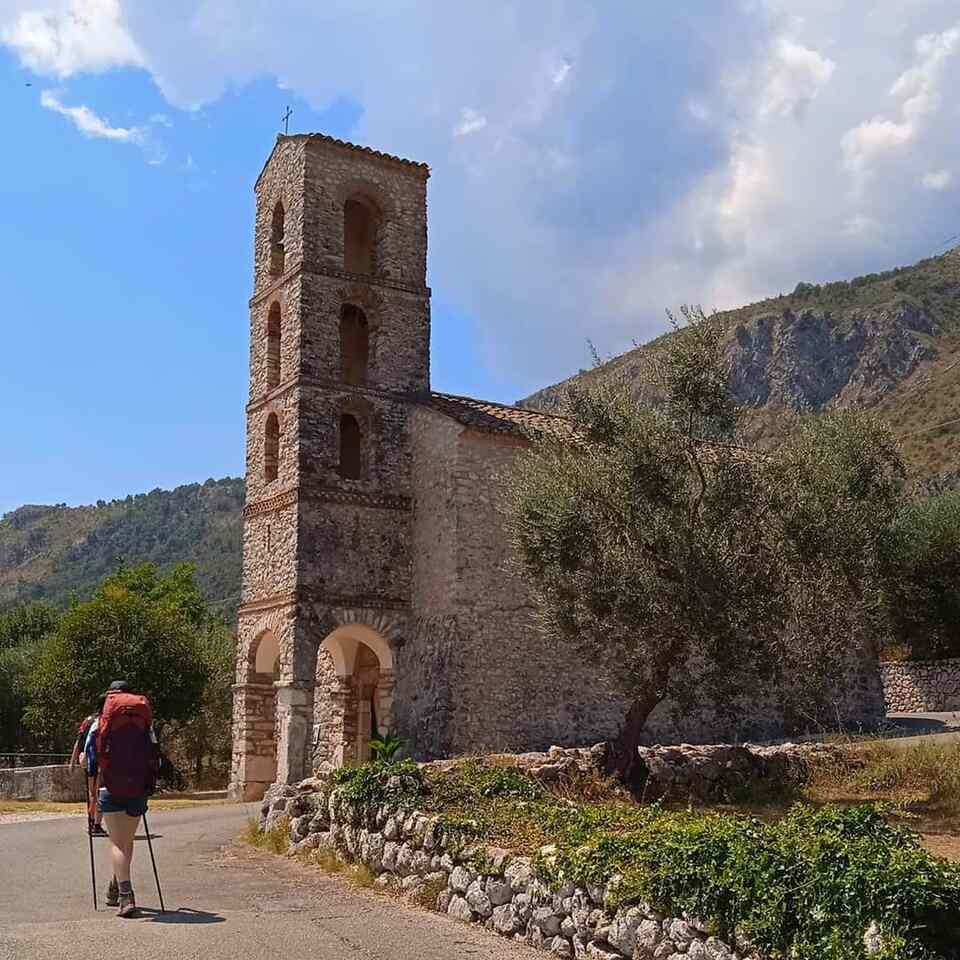
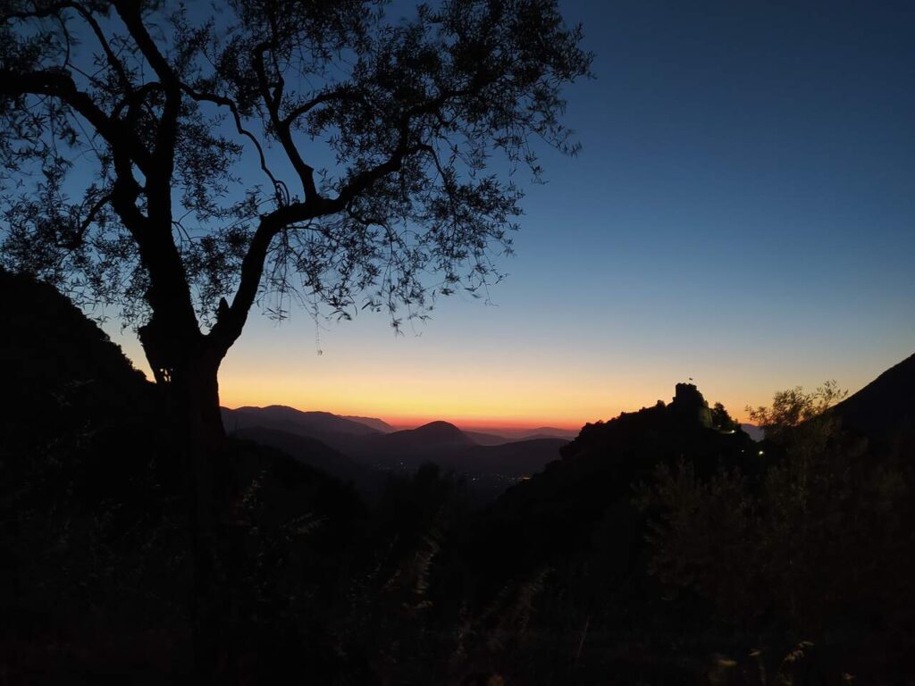
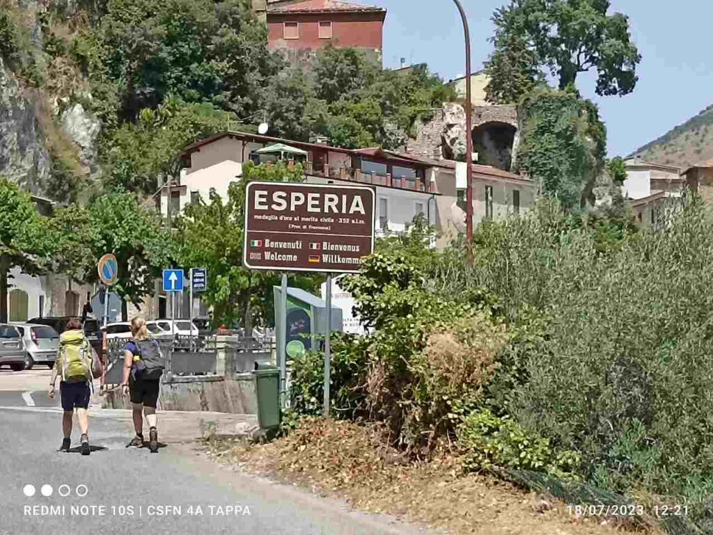
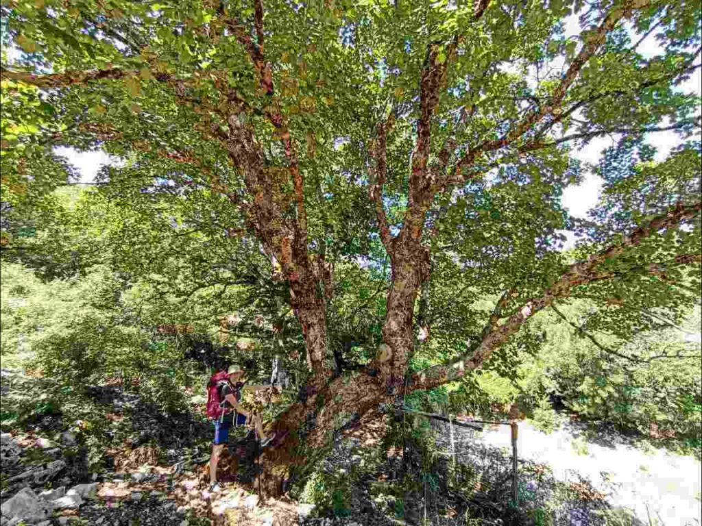
In the fourth stage you go up the slopes of Mount Fammera, in a decidedly Mediterranean landscape full of terraces and dry stone walls, passing next to the ancient (and wonderful!) church of Correano. From here you climb further, crossing the Selvacava pine forest, up to the slopes of the almost vertical limestone wall of Monte Fammera. From Colle Bastìa the road continues, between modest ups and downs, up to the town of Esperia Superiore, the ancient Roccaguglielma. The landscapes crossed are decidedly different: from the plain of Madonna del Piano and the hilly landscape of the church of Correano, you pass through a thick pine forest and, immediately afterwards, you arrive in a mountainous environment. From the Colle Bastia area you can glimpse the sea, and the proximity of the enormous limestone boulder of Fammera creates a decidedly suggestive environment.
Day 5 | Esperia to Filetto
- Distance: 22km
- Elevation Gain: 1000m
- Average Duration: 8h
- Difficulty level: Hard
- Start/Finish: Esperiato Filetto
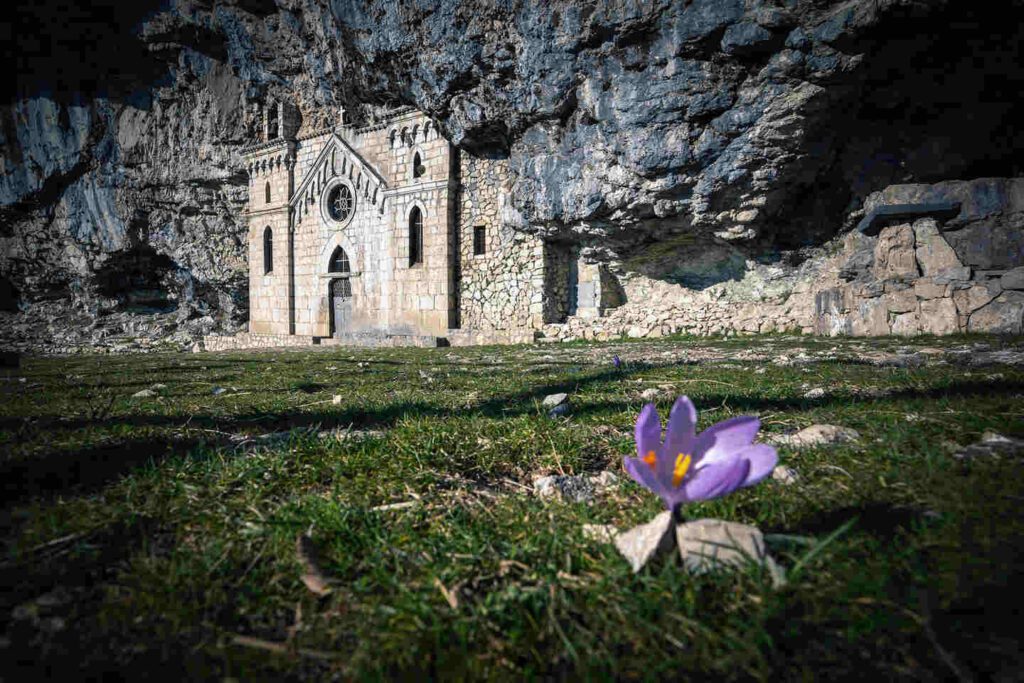
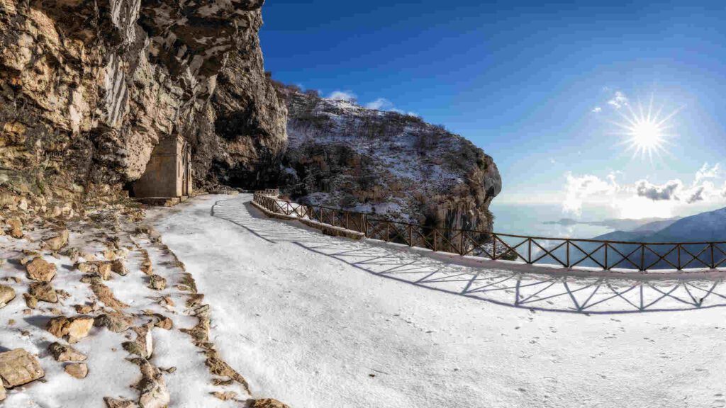
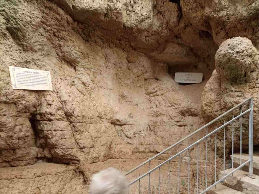
It is undoubtedly the most difficult stage of the entire journey of San Filippo Neri but also the most loved and memorable: from the seat where the saint rested on his travels between Cassino and Gaeta which inspired the creation of this journey, we set off towards of the historic center of Esperia, crossing it almost entirely on Via Roma. From here you quickly reach the door to Via della Montagna in the San Bonifacio district, an ancient Jewish ghetto, where it will be absolutely essential to refill your water supply. The stage through the pleasant valleys of Polleca and Fraile, with a challenging but never boring route, is particularly tiring and will lead in about 3-4 hours to Forcella di Fraile and Monte Redentore, the highest point of the entire journey. From here a breathtaking panorama will accompany you on the descent to the Hermitage of San Michele Arcangelo and further down to the Pornito refuge. In short, reaching the Filetto plain, you arrive at the Filetto plain, the end of the fifth stage of the San Filippo Neri journey.
Day 6 |Filetto to Madonna della Civita
- Distance: 17km
- Elevation Gain: 400m
- Average Duration: 6h
- Difficulty level: Hard
- Start/Finish: Rieti to Rocca Sinibalda
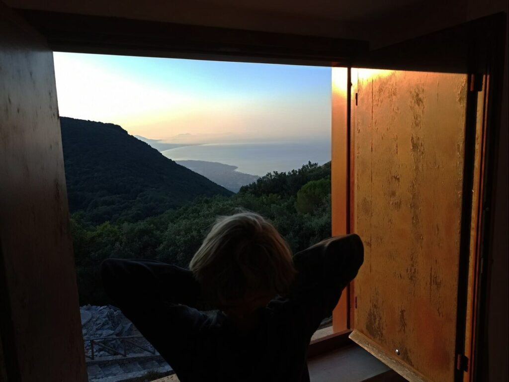
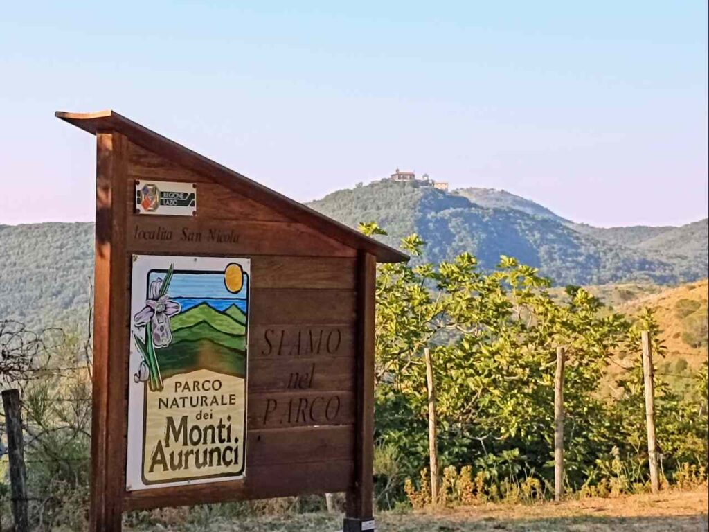
The sixth stage of this journey is quite challenging. It starts from the Filetto area, once a hideout of Briganti, and crosses the mountains of the central part of the Aurunci regional park. The first section, covered on mountain paths at heights exceeding 1000 m, will be followed by the descent to the San Nicola pass, between the territory of the municipalities of Campodimele, Itri, and Formia, a few kilometers from the sanctuary of the Madonna della Civita. The stretch on the mountain path is long and in a wonderful environment. You come across karst sinkholes with the remains of ancient shepherds’ huts, sinkholes (Fabio’s ditch) and the Pozzo della Neve or Neviera di M. Viola. If you want, you can go further and visit the small tomb made with the remains of the military plane that crashed here in 1985. Passing through Valle Torre and the farm of the same name, you reach the final stretch, on a road, from Trasta to the San Nicola pass, very exposed to the sun and devoid of tree cover. The indication of the km concerns the need for an overnight stay: in 16 km you arrive at the Sanctuary of the Madonna della Civita where the pilgrim’s house is currently closed for works (May 2024). It may therefore be necessary to decide to stay overnight at the Ossigeno hostel, at the S.Nicola pass (which however is not always open in winter) or in Itri (6 km after the Sanctuary) where there is always the possibility of staying overnight.
Day 7 | Madonna della Civita a Gaeta
- Distance: 20km
- Elevation Gain: 400m
- Average Duration: 5h
- Difficulty level: Hard
- Start/Finish: Santuario Madonna della Civita to Gaeta
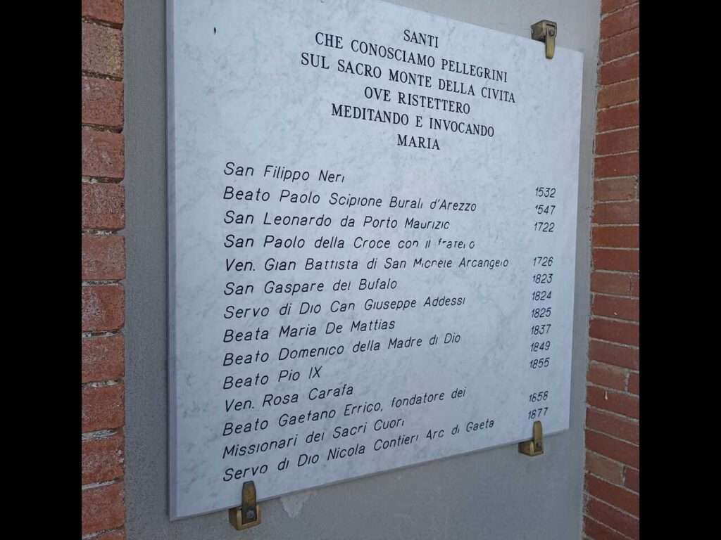
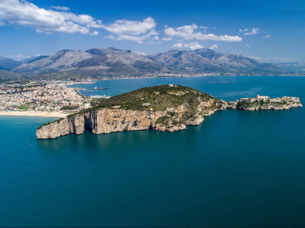
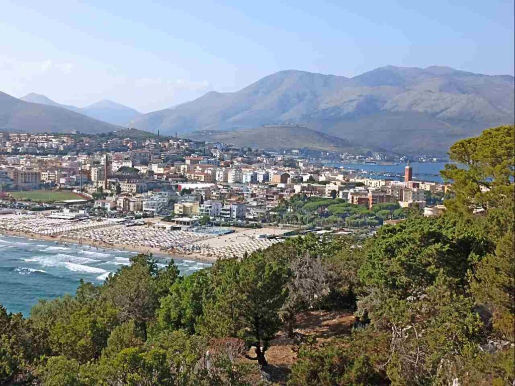
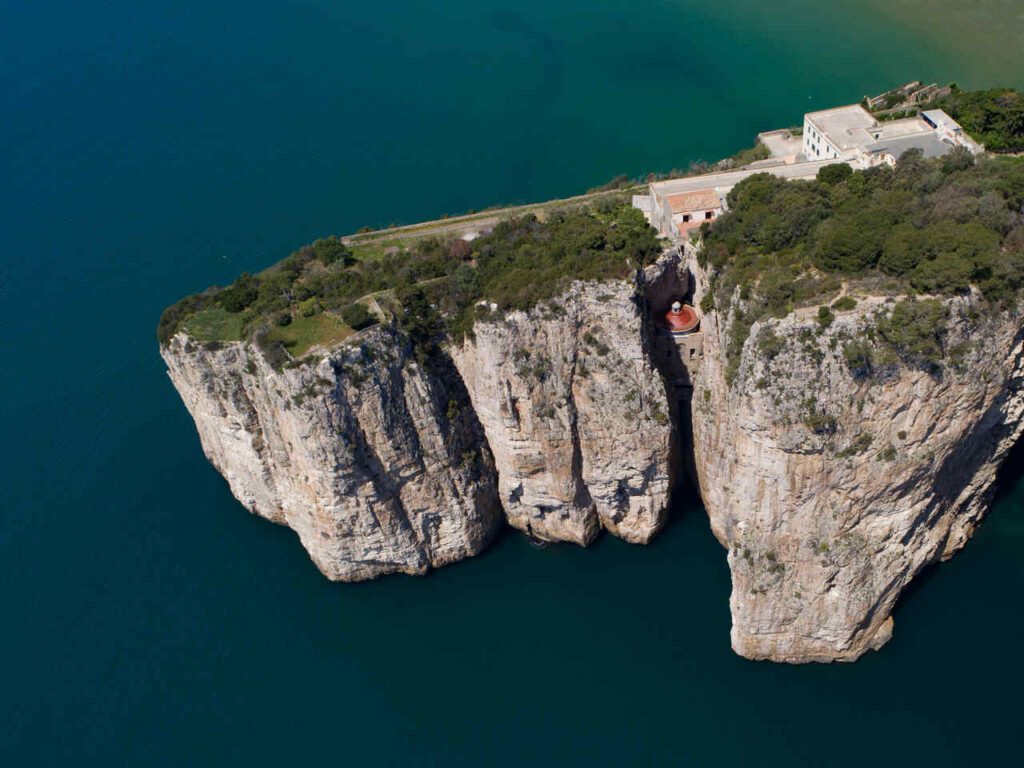
The Sanctuary of the Madonna della Civita is an obligatory stop on the Camino di San Filippo Neri as it is a destination for the Saint before arriving in Gaeta. Even today a marble epigraph testifies to his passage in 1532. The stage is almost exclusively on roads, in an anthropized Mediterranean environment. You pass through the towns of Itri (home of the famous black olives of Gaeta) with its wonderful historic center and reach the seaside area of Gaeta (Piana di Serapo) just before arriving at the final destination of the Camino. The views of the coast are noteworthy before descending to the Serapo Plain and once you reach the final destination.
The Cammino di San Filippo Neri is a unique opportunity to discover the wonders of southern Lazio, blending history, nature, and spirituality into a journey that leaves a lasting impression. Every stage tells a story and offers authentic experiences, far from mass tourism.
👇🏻Feel free to book a “Discover Italy like a Local” with me 👇🏻
Catch You Outside,
Elena
Frequently Asked Questions
Dog allowed?
Yes, You can take your puppy… but only if you collect their 💩!!
Where to sleep? Tent?
Along the stages, there are numerous accommodation options, from small family-run commercial structures to “donation-based” hospitality (free offering). All accommodations are listed on the website https://www.camminodisanfilipponeri.com/dove-dormire .
There are several structures along the route that you can contact to make arrangements; wild camping is usually prohibited.
Difficulty
The path is not particularly difficult: some stages require resistance but they are always followed by less demanding stages.
Credentials?
Per ricevere le credenziali contattare l’Associazione Amici del Cammino di San Filippo Neri all’indirizzo mail camminodisanfilipponeri@gmail.com.
Best months to hike it?
- Can be done all year around.
- Optimal: Spring to Autumn.
- As usual, check weather forecasts for safety, avoiding the trail during heavy rain or strong winds.
What to bring?
- Wear sturdy, comfortable hiking shoes suitable for various terrains. It is not a walk in the park.
- Carry trekking poles for stability.
Trail waymarking
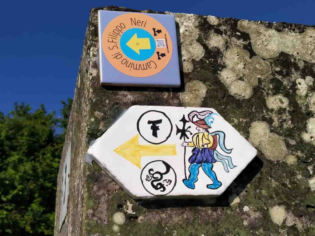
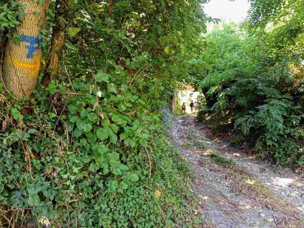
- Well-Marked trail with signage.
- Especially if you don’t speak Italian, I would recommend having a gpx map with you.
Planning Information
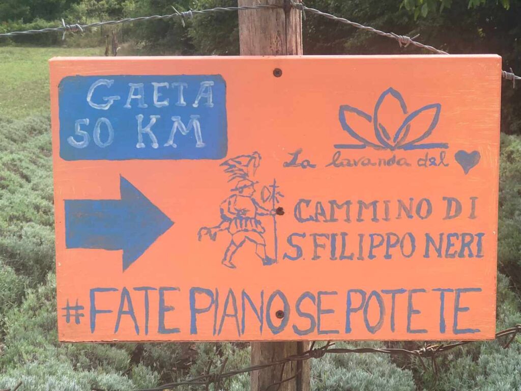
Get the guide and read it carefully, gather information from the website www.camminodisanfilipponeri.com.
Getting there & Away
Train from Rome or Naples to Cassino. Buses from Rome, Pescara, Naples (Flixbus).
Permits & Fees
No Permits required.
IMPORTANT: Pay close attention to the data contained in this description.
They may be incomplete or outdated. The paths may change over time due to bad weather, fires or simply the change of seasons. Check in the comments if anyone has made any reports or recommended any changes.
Do you still have a question?
"Discover Italy Like a Local" Consultation
I always try to write everything I can to give the best possible informations, but if you feel like you need a specific and tailored consultation, feel free to book a one-on-one consultation to address your concerns, answer your questions, and provide support throughout the planning process.❤️

