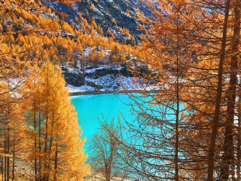
Cammino di San Rocco, Trentino, Italy
- Where: Trentino, Mori & Garda Lake
- Multi Day Hike
- Distance: 70 km
- Average Duration: 3-5 days
- Difficulty Level: Easy to Medium
- Total Elevation Gain: 3322m
- Loop
- Start/Finish: Mori
The Cammino di San Rocco is a journey where history, culture and nature intertwine along ancient paths and small, welcoming towns.
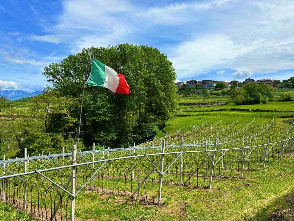
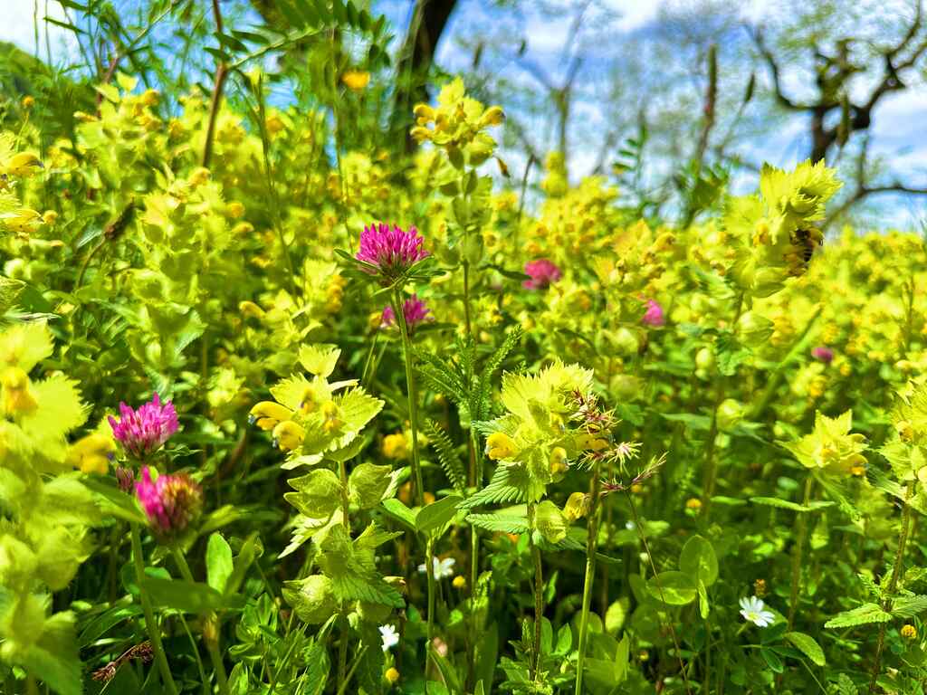
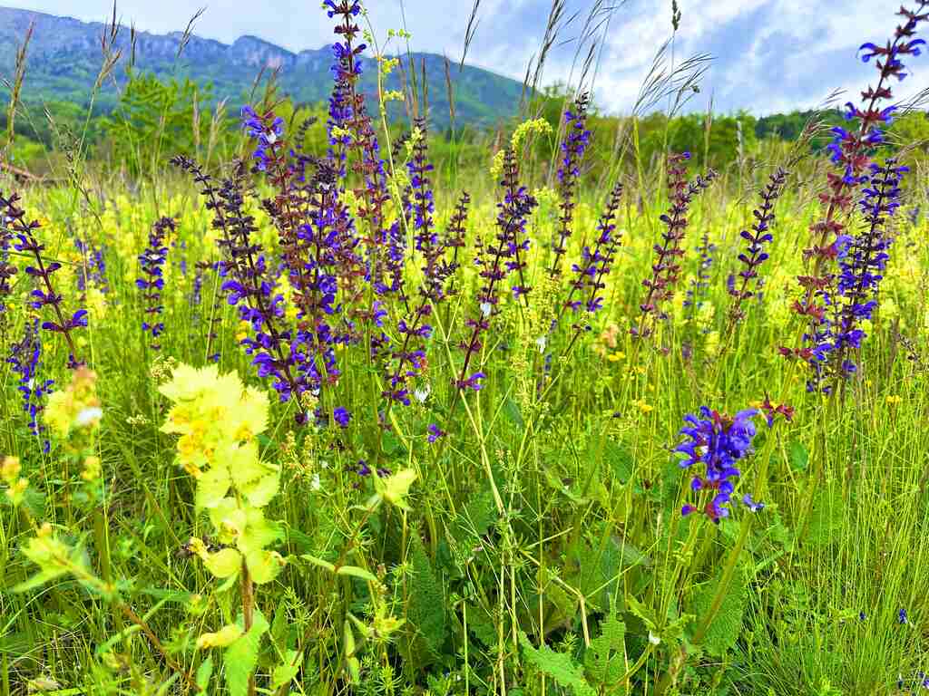
It is a 70 km itinerary in the lower Trentino that crosses Mori, Ronzo-Chienis, the Val di Gresta and the Brentonico plateau, territories of the Vallagarina dedicated to landscape care, environmental and agricultural sustainability.
The Path inspired by San Rocco, protector from pandemics and symbolic figure for male and female volunteers, male and female pilgrims, was born in the difficult 2020 from a proposal that emerged from the community. The route took shape step by step thanks to the discovery of 28 wayside shrines, frescoes and churches dedicated to the saint in the area.
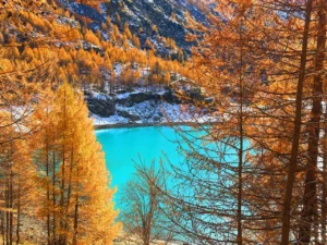
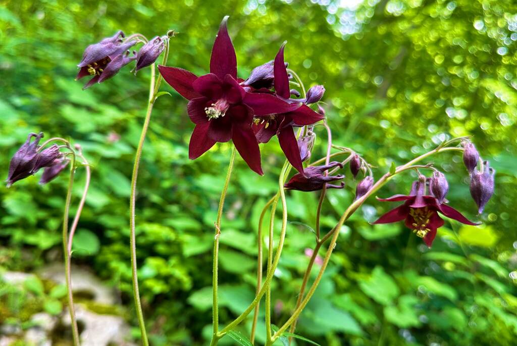
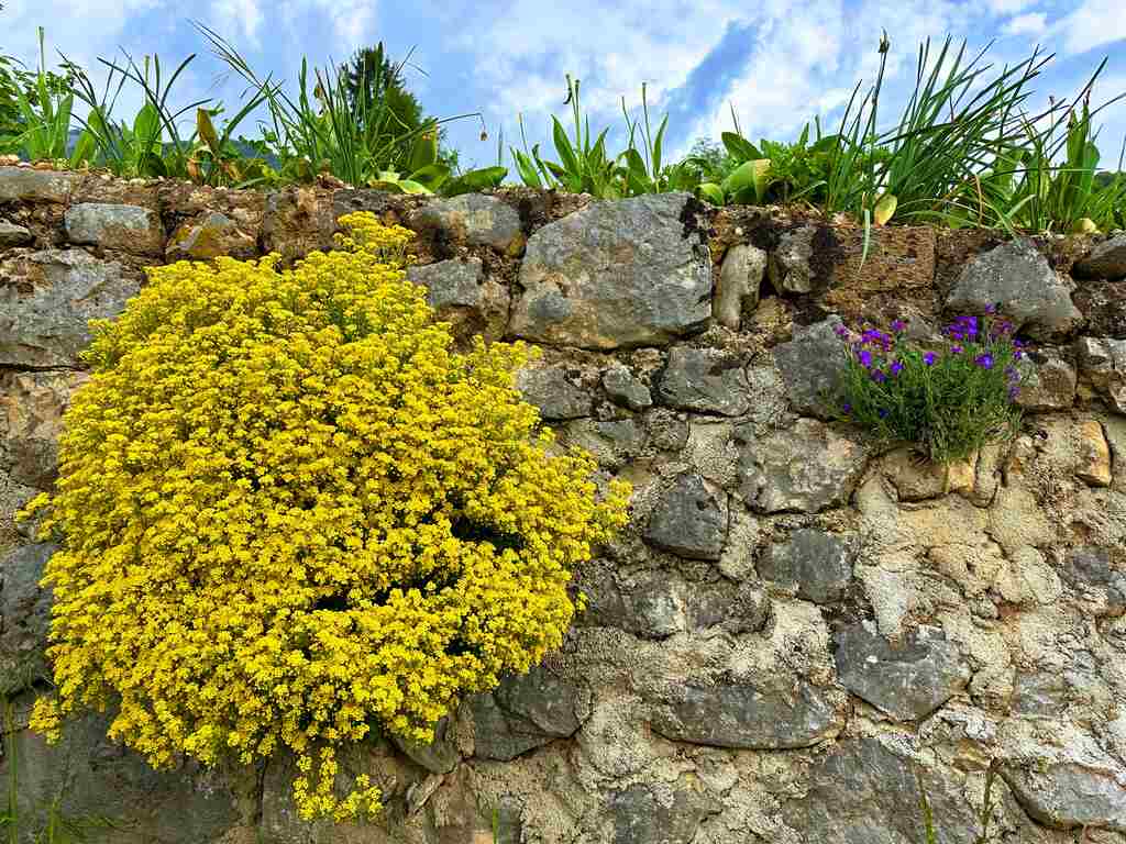
This area of Trentino is not well discovered yet but it it breathtaking, so I definitely recommend you to go and explore around.
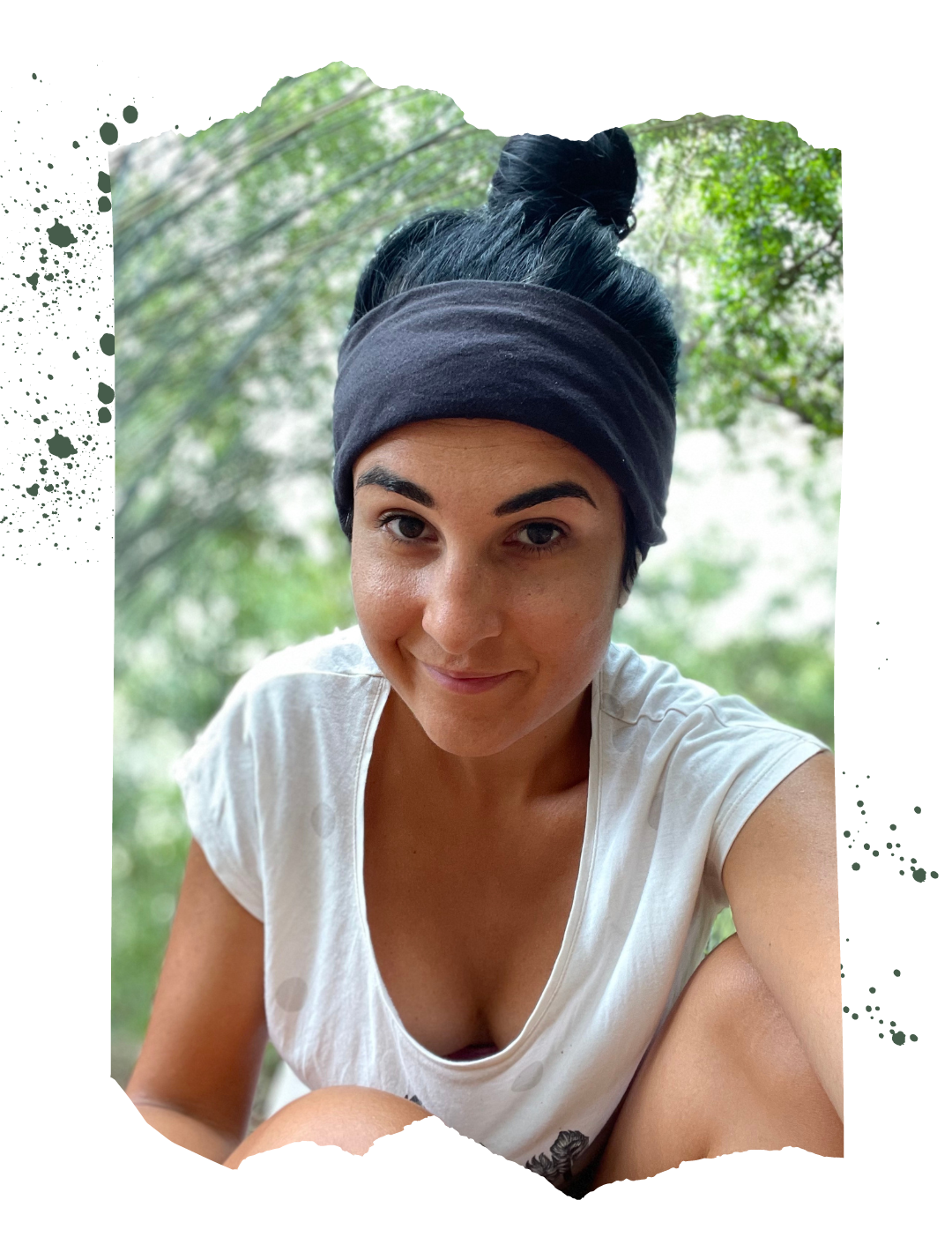
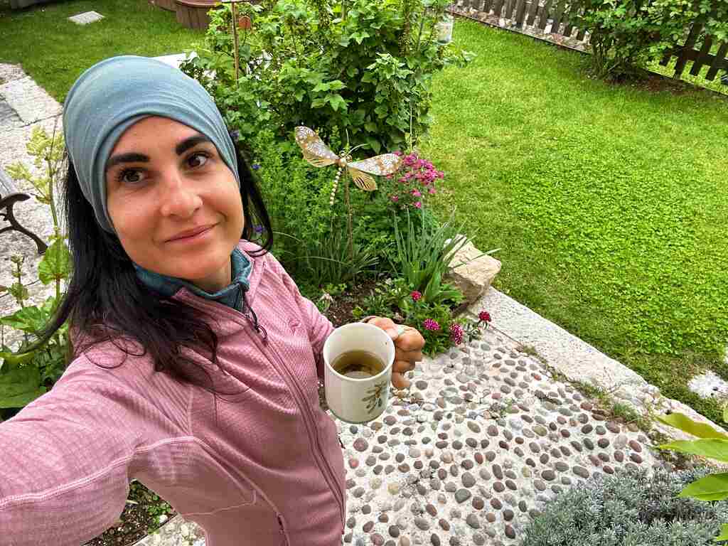
Catch you outside,
Elena
Who is this hike for?
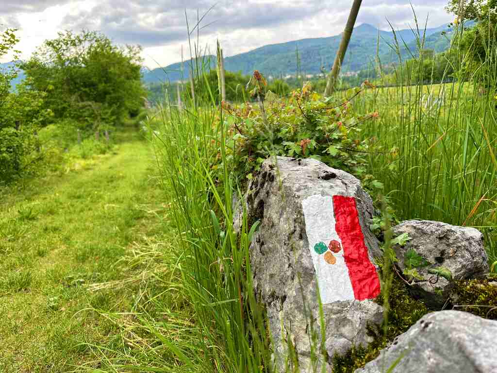
This hike is for everyone! It is marked, but I recommend having a GPX trace especially if you don’t speak Italian. The elevation gain is not bad but as usual make sure to be well-prepared for any emergency.
Day 1 | Mori to Pannone

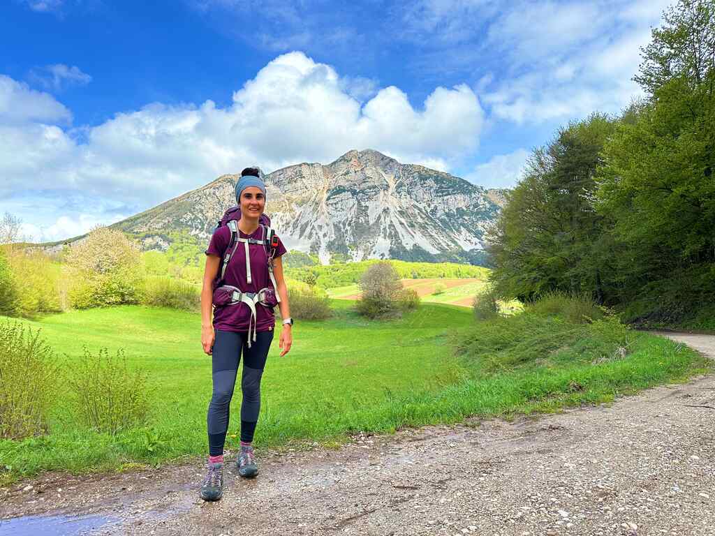
- Distance: 28km
- Average Duration: 7h
- Difficulty level: Medium to hard
- Start/Finish: Mori to Pannone
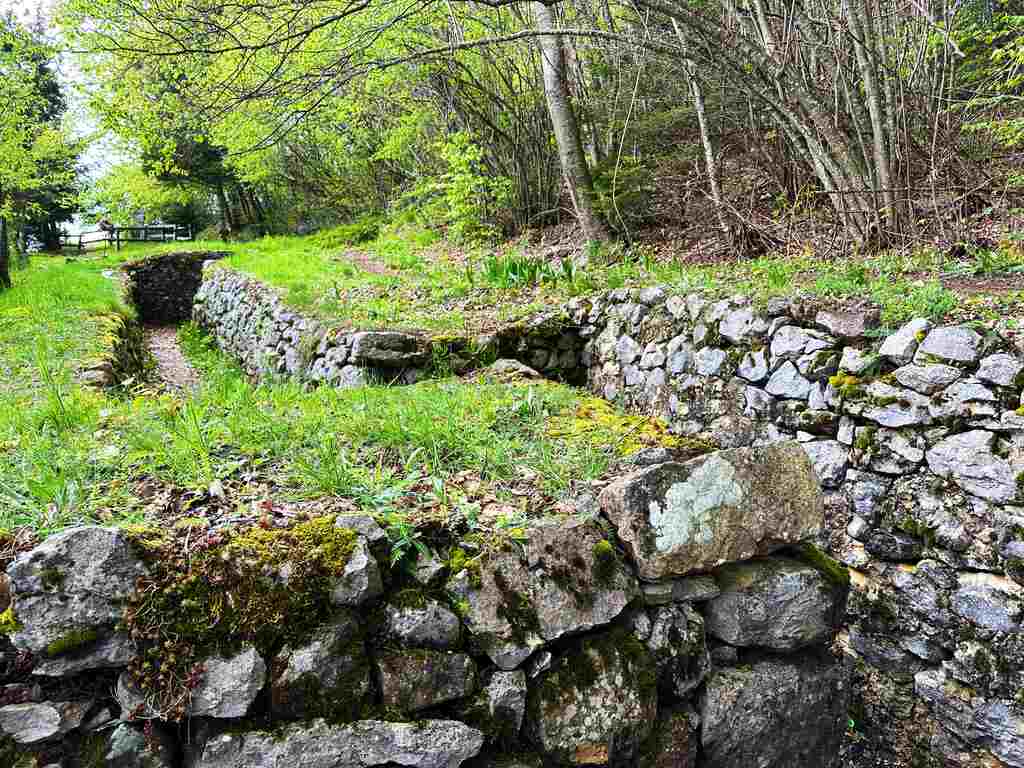
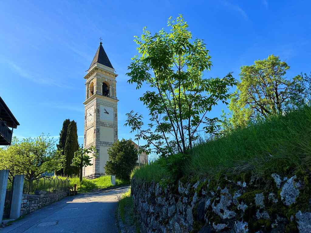
The walk starts from Piazza Cal in Ponte di Mori, from where I moved to the courtyard behind the Church of Santo Stefano to observe a wayside shrine of San Rocco, painted by Mario Galvagni, a painter from Mori, and placed in the gardens near the fountain. From here, I crossed the town of Mori and walked along Via Teatro, one of its historic streets; reaching the entrance to the path that goes up towards Montalbano, where its Sanctuary stands. This is also a panoramic point overlooking the Valley of the Cameras torrent.
From here, the trails continue on a steep mule track that leads to the locality of Zele and then passes through the villages of Nomesino and Corniano. Above Nomesino, I visited the votive chapel dedicated to San Rocco, while in Corniano, I saw the church dedicated to Sant’Agata, one of the oldest ecclesiastical buildings in Trentino.
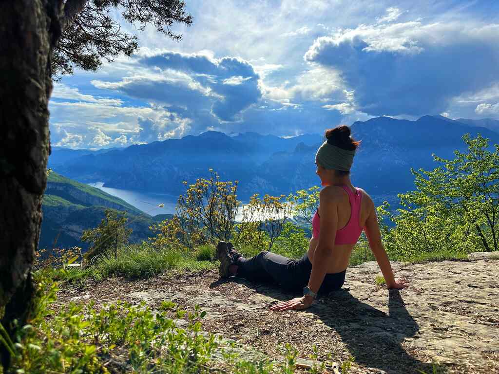
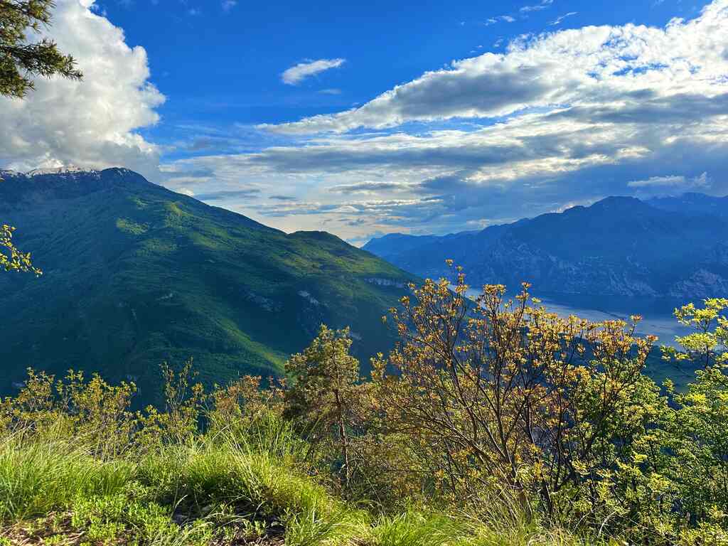
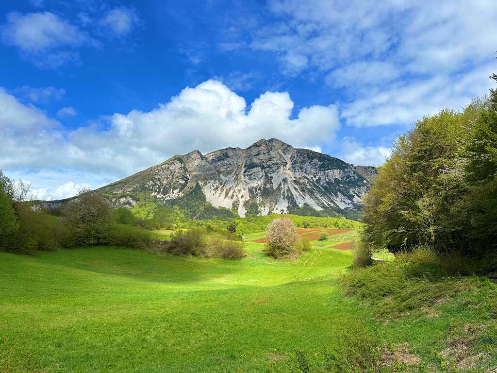
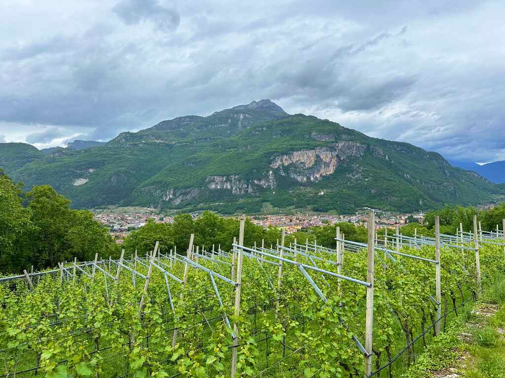
Passing through the Grotta degli Appestati, I continued up to Mount San Bernardo and then moved on to gentler paths up to Malga Somator. From here, I could easily admire the city of Rovereto, the Ossuary, and the Bell of the Fallen. From there, I continued to the base of Monte Biaena and, passing through Pra del Lac, I reached the town of Ronzo-Chienis. This section was one of my favourites!!!
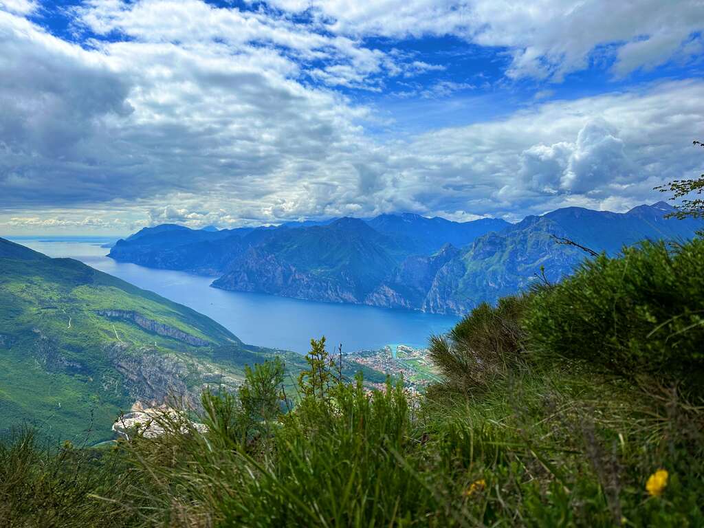
Leaving the town of Ronzo-Chienis, I reached Monte Creino, an Austro-Hungarian stronghold during the Great War and a panoramic point that offers a beautiful view of Lake Garda. Another amazing section here!
Going down, I arrived in Pannone, where I stayed for the night. I spent the night in the Oratory, where with a donation of 15 euros, I had access to a bed in a shared room and a fully equipped kitchen where I could cook my own meals.
Day 2 | Pannone to Brentonico
- Distance: 20km
- Average Duration: 5-6h
- Difficulty level: Medium
- Start/Finish: Pannone - Brentonico
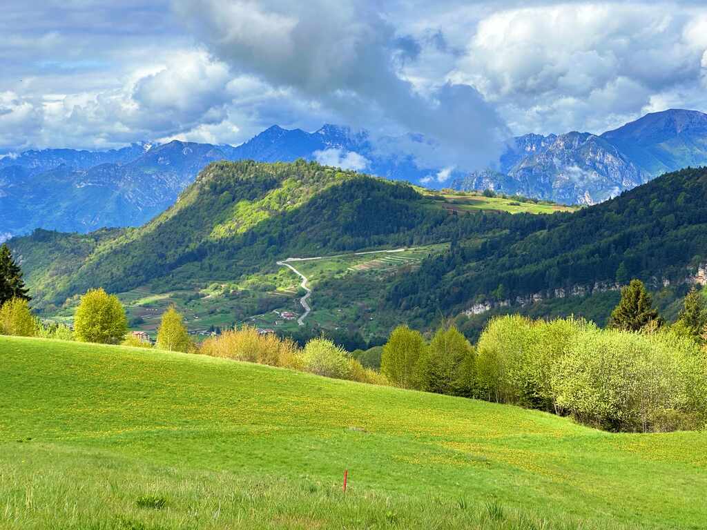
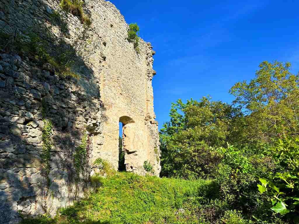
Starting from the village of Pannone, I admired the ruins of Castel Gresta. Following the old road, I arrived at the village of Valle San Felice, where the Church of Sant’Anna is located. I then passed into Manzano, where I chose to visit the trenches of the Nagià Grom, an Austrian fortress from the First World War, with a view of Monte Baldo, and then the little church of Sant’Apollonia. Returning to the edge of the town of Manzano, I took the ancient Lasta mule track, travelled in the past by women from Gresta who transported their products to the Moriano market, thus arriving at Mori Vecchio, observing the bell tower dating back to the 13th century.
Leaving Mori Vecchio, I followed the cycle path up to Pozze, located on the bank of the Cameras stream, and arrived at the town of Sano, from which an agricultural road starts that leads to the cross in Bordina.
The route continued slightly uphill, and after meeting the capital dedicated to San Rocco, I arrived at the centre of Castione, where I visited the Church of San Clemente. I took a slight detour from here to the Chapel of San Rocco, built during the mid-17th century.
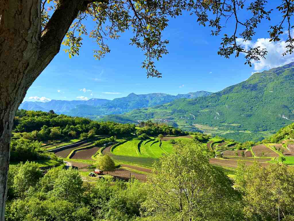
From here, I crossed the woods of centuries-old chestnut trees, leading to the ruins of the Dosso Maggiore Castle, from which the view of the Balden Valley opens up.
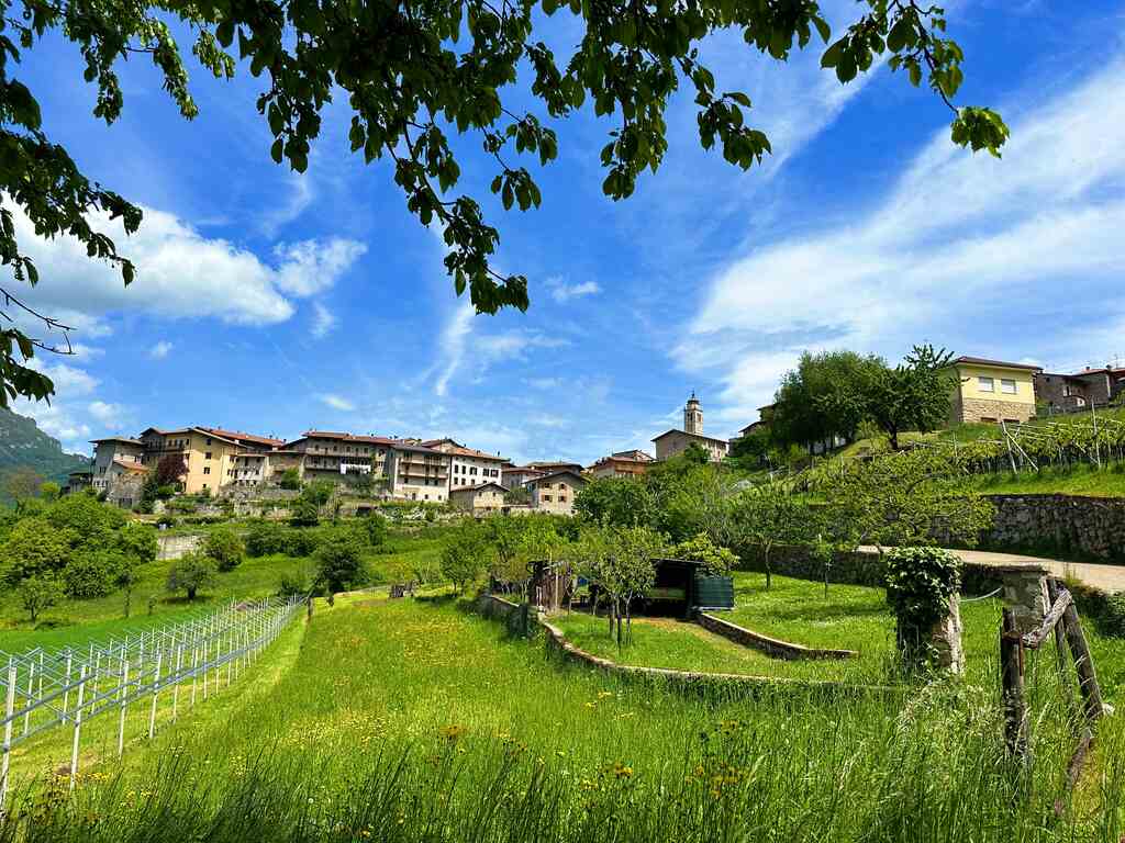
Going down, I came across another Church of San Rocco, dating back to the 16th century, and an ancient fountain, finally reaching the large park dedicated to Cesare Battisti in the heart of the town centre of Brentonico.
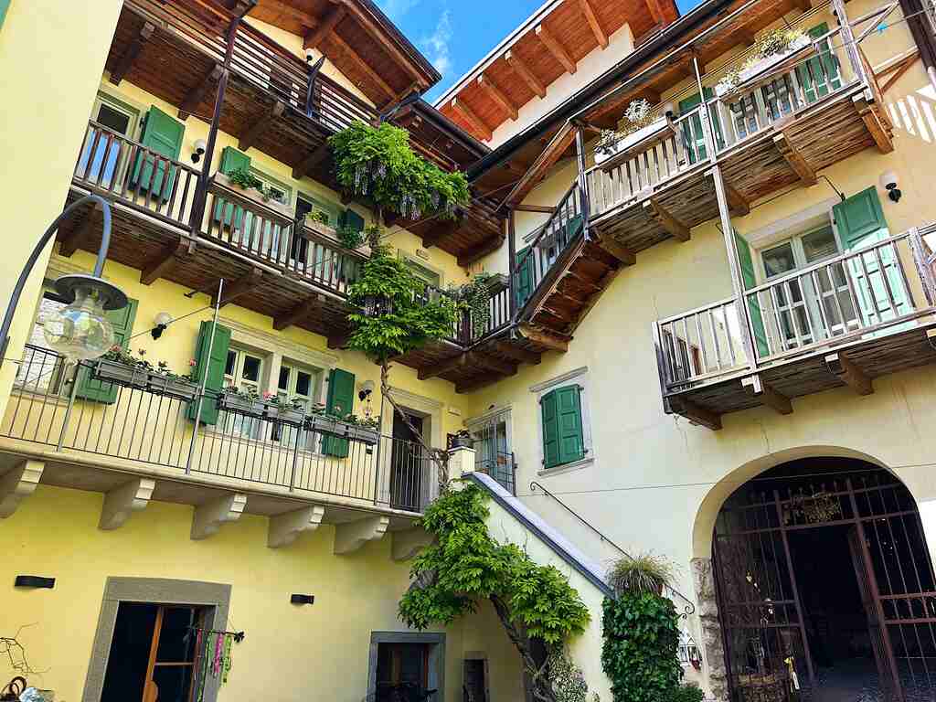
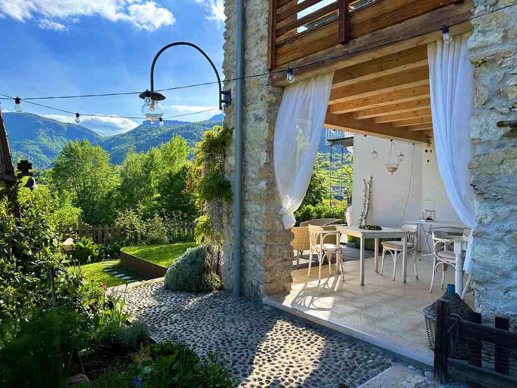
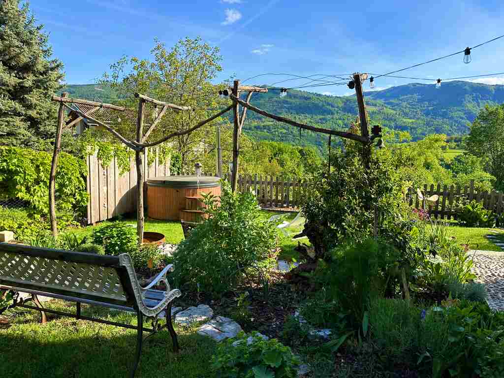
Brentonico is a lovely and well-curated village. That night, I opted to stay at Villa Monica, a B&B run by the lovely Monica. Everything was well-curated, and as soon as I stepped in, I felt surrounded by peace and relaxing vibes, just what I needed after a long day of hiking.
She also left me some herbal salts (made by her) to use for foot soaks to help ease muscle soreness.
Hotel Zeni also has the best gelato in Brentonico. If you know me, for the last five years, the only gelato flavour I usually get is pistachio, and trust me, this place didn’t disappoint me!
Day 3 | Brentonico to Mori
- Distance: 24km
- Average Duration: 5-6h
- Difficulty level: Easy to Medium
- Start/Finish: Brentonico - Mori
Leaving Villa Monica (you can check availability here) was hard. I had the best breakfast and the best chat with Monica, who showed me how she has renovated a section of the B&B using only second-hand and/or restored furniture. Passed Brentonico, I came across the parish church, built in 1500, and the ancient Eccheli-Baisi palace. Then, I took the Via Lunga to reach the hamlet of Fontechel. I arrived at the village of Sorne along a path through the meadows.
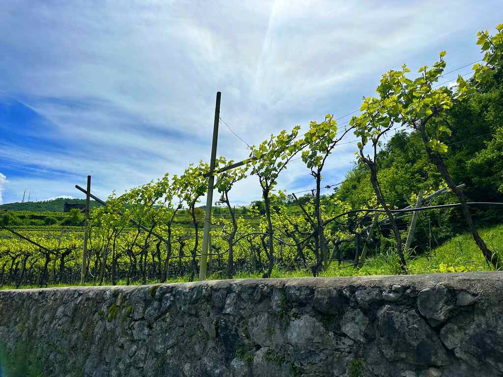
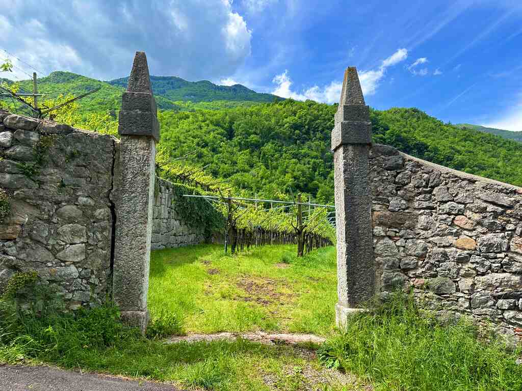
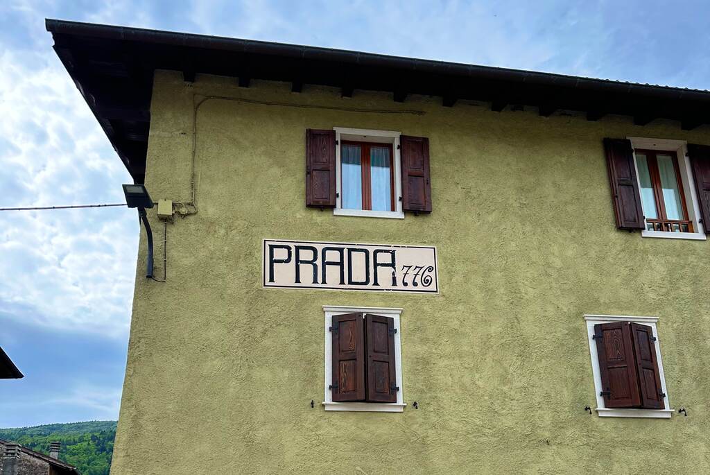
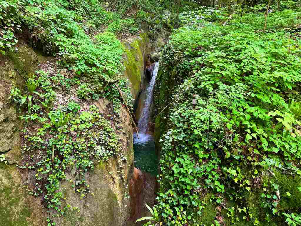
From Sorne, I went up to the town of Prada and then reached the centre of Saccone; from here, I continued to Corné, from where I descended, passing through typical alpine landscapes, until I reached the gorge of the Sorna torrent; here, I could immerse myself and refresh in its clear and green waters. After crossing the Pont del Diaol, the path climbed along ancient vineyards that led to the villages of Cazzano and Crosano.
From here, I descended, passing through Besagno, Castel Palt, and Tierno, before returning to the starting point of the Camino: Piazza di Mori.
The Cammino di San Rocco offers a rewarding trek through the stunning landscapes of the Trentino region, avoiding the mass of tourists.
With careful planning, proper equipment, and an appreciation for the trail’s unique challenges, you will enjoy a memorable three-day adventure around Val di Gresta and the Brentonico Plateau.
Whether you’re a seasoned trekker or a nature enthusiast, this trail promises an unforgettable experience along the breathtaking Trentino hidden region.
👇🏻Feel free to book a “Discover Italy like a Local” with me 👇🏻
Catch You Outside,
Elena
Frequently Asked Questions
Dog allowed?
Yes, You can take your puppy… but only if you collect their 💩!!
Where to sleep? Tent?
- Not many accommodations along the Alta Via, so plan to stay in B&Bs or hotels in coastal villages.
- Book in advance, especially during peak seasons, as demand is high.
- If you stay up on the Alta Via there are plenty of places where you can set up a tent, but bear in mind that you need to think about water and food supplies
Difficulty
It doesn’t present any major challenge, but make sure you are happy with elevation gain
Credentials?
Yes! You can get your credentials in Mori at the Artesan Birrante.
Best months to hike it?
- The mild climate makes the area suitable for year-round hiking, but would avoid August.
- As usual, check weather forecasts for safety, avoiding the trail during heavy rain or strong winds.
Can I do it by bike
Yes, but some sections you will need to take a different route (not signed) so I suggest you to plan it carefully.
Can I do it by bike
Yes, but some sections you will need to take a different route (not signed) so I suggest you to plan it carefully.
What to bring?
- Wear sturdy, comfortable hiking shoes suitable for various terrains.
- Carry trekking poles for stability.
Trail waymarking
- Very well marked trail with signage.
- Especially if you don’t speak Italian, I would recommend having a gpx map with you.
Planning Information
The trail passed really small villages and so it can get packed easily during peak seasons.
Getting there & Away
Few options:
- I recommend getting to Rovereto by train and then taking the bus to Mori. Train and bus was the perfect and cheapest way for me
- If you travel by car leave your car in Mori.
Permits & Fees
No Permits required.
More info?
IMPORTANT: Pay close attention to the data contained in this description.
They may be incomplete or outdated. The paths may change over time due to bad weather, fires or simply the change of seasons. Check in the comments if anyone has made any reports or recommended any changes.
Do you still have a question?
"Discover Italy Like a Local" Consultation
I always try to write everything I can to give the best possible informations, but if you feel like you need a specific and tailored consultation, feel free to book a one-on-one consultation to address your concerns, answer your questions, and provide support throughout the planning process.❤️