Cammino Minerario di Santa Barbara, Sardinia, Italy
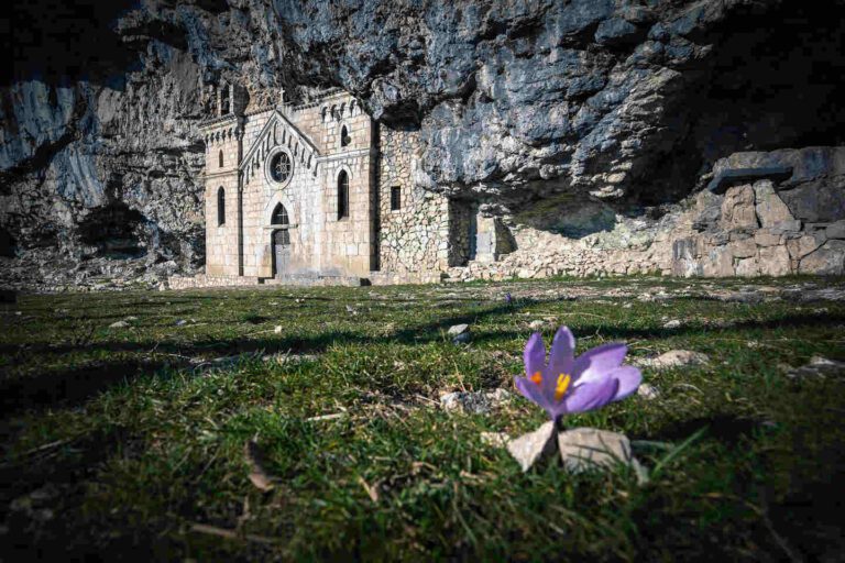
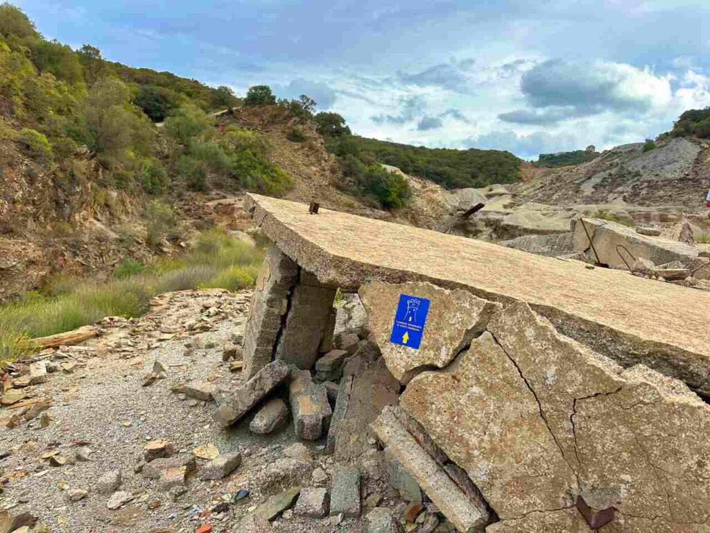
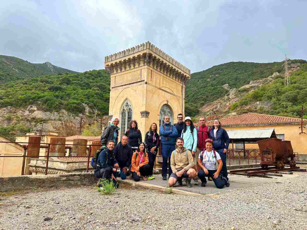
As you trek along the Cammino Minerario di Santa Barbara (CMSB), you’ll encounter countless places of worship and churches dedicated to Saint Barbara. Revered as the protector of those facing life-threatening dangers—such as miners, firefighters, sailors, and others exposed to explosives, fires, and storms—Saint Barbara holds a special place in Sardinia’s history. Her symbol, the tower, is also the emblem of the Mining Trail. One of the most notable churches along the route is the Church of Saint Barbara in Domusnovas, dating back to the 13th century, where you can reflect on the ancient prayer: “When I descend into the mine, my prayers rise to You.”
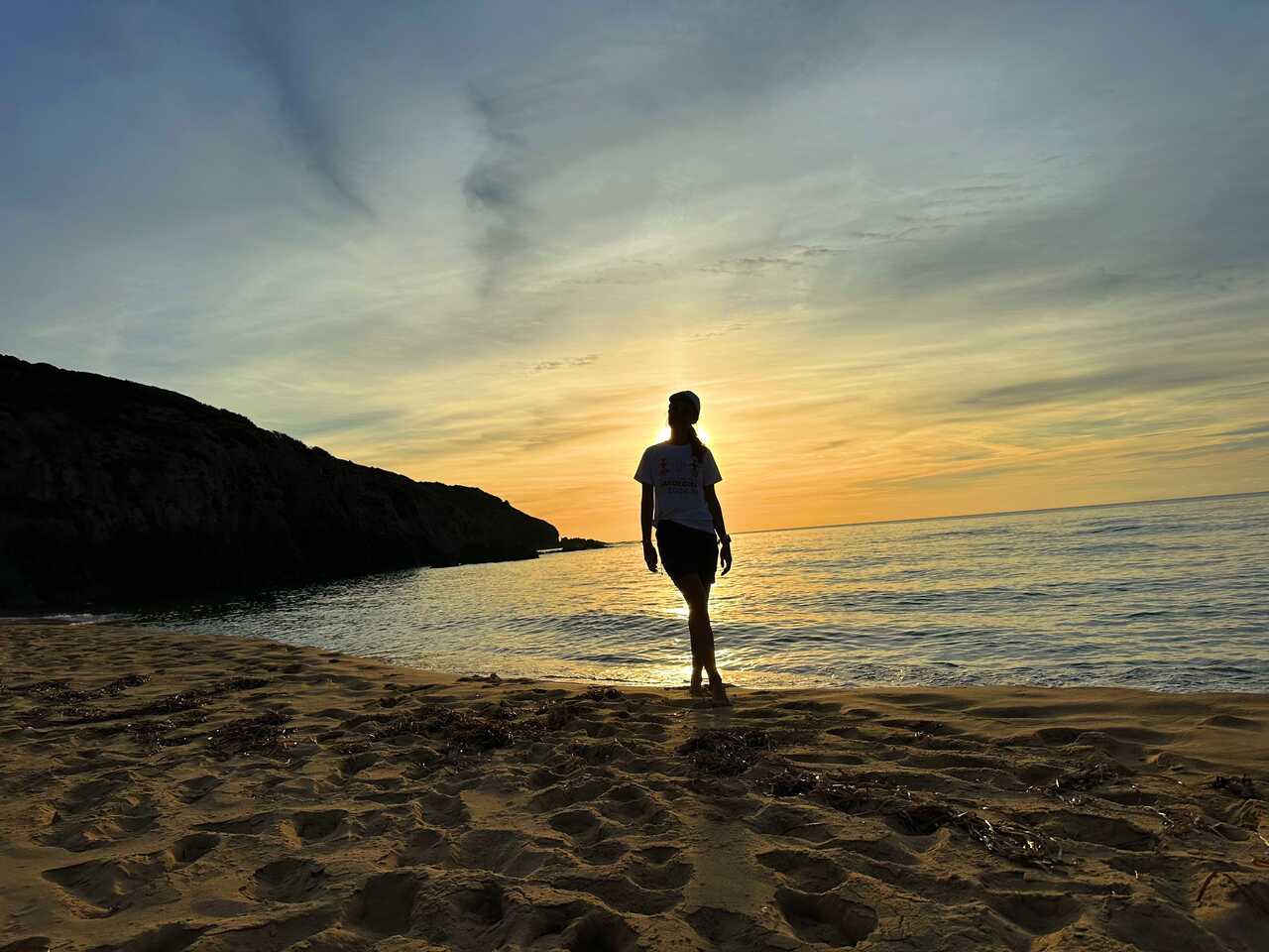
The CMSB offers a unique blend of historical, cultural, and religious experiences, guiding you through some of the oldest lands in Europe. More than just a mining trail, this ancient path takes you past towering cliffs, scenic beaches, rugged mountain ranges, and the serene Sardinian countryside. However, the people you’ll meet along the way make this journey unforgettable. Locals are known for their warm hospitality, often inviting travellers into their homes and offering “trail magic.” The kindness of Sardinia’s people will leave a lasting impression, ensuring this experience remains close to your heart.
Don’t have a month to hike it? Choose the section below that is best for you!
Catch you outside,
Elena
- Where: Sardinia
- Multi Day Hike
- Distance: 500km (I did only few sections)
- Average Duration: 30 days
- Difficulty Level: Easy to Medium
- Total Elevation Gain: 12500m
- Loop
- Start/Finish: Iglesias
Who is this hike for?
This hike is best suited for those with a . While the days can be long and can involve significant elevation gain, the trail is not technical. It’s fairly well-marked but if you don’t speak the language, having GPX traces is essential. As always, be well-prepared for emergencies.
Hiking Itinerary | For Those Who Love the Sea

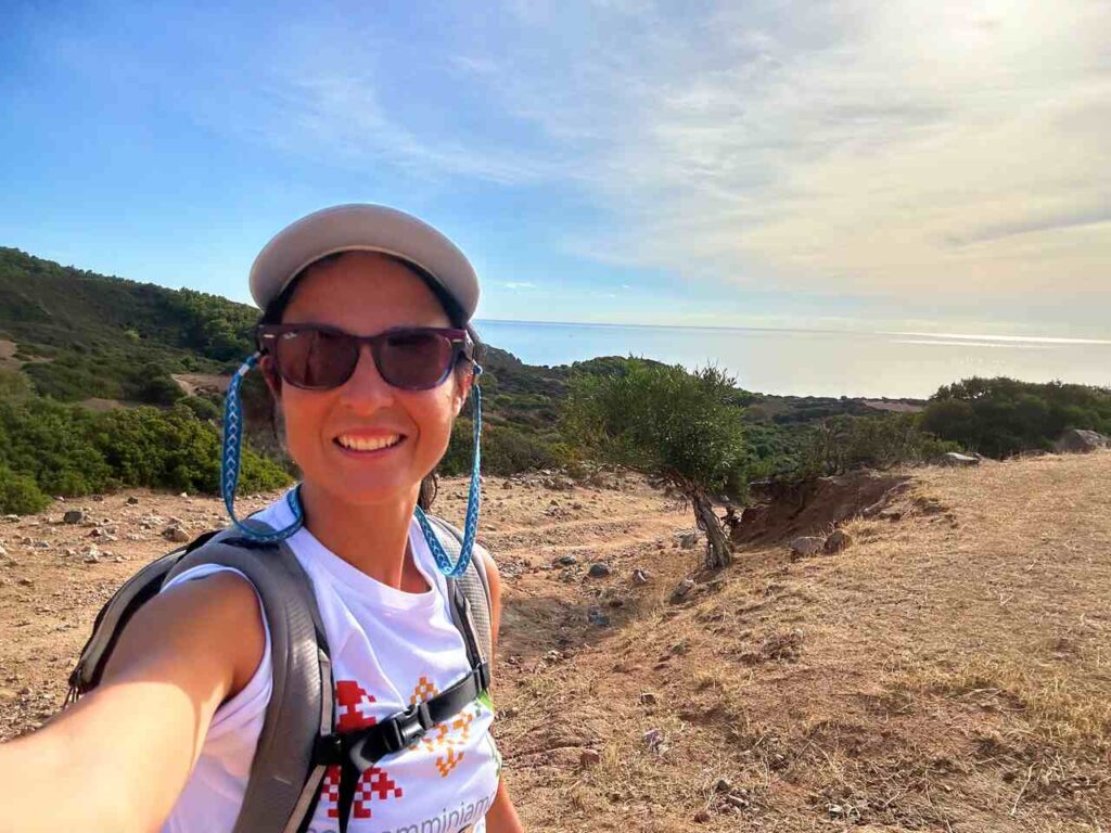
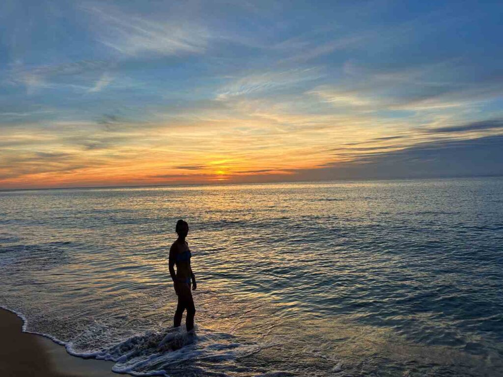
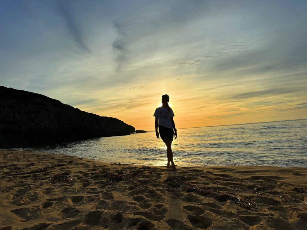
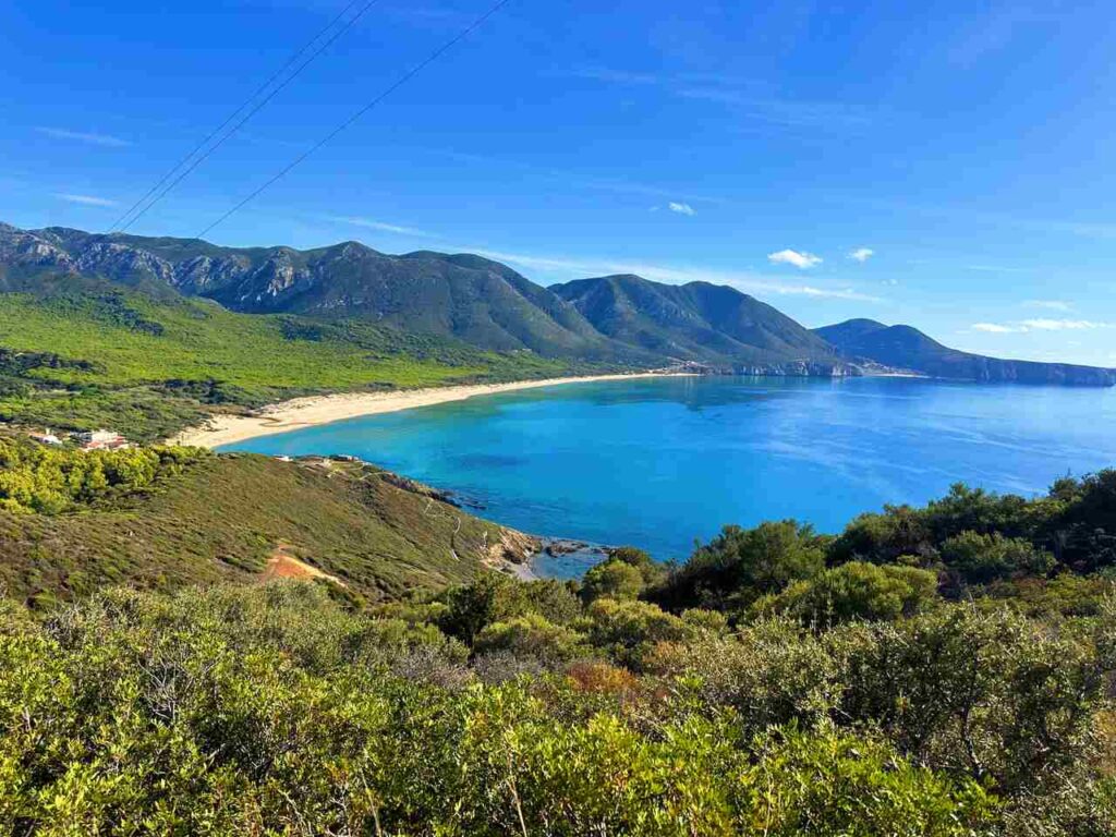
- Distance: 97km
- Elevation Gain: 3800m
- Average Duration: 7 days
- Difficulty level: Easy to Medium
- Start/Finish: Iglesias to Montevecchio
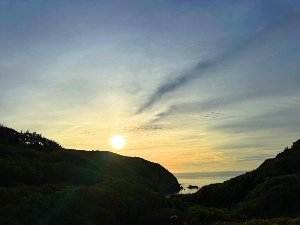
A week along the coast.
From the medieval city of Iglesias you quickly reach the coast with the mining sites built on the cliffs and the galleries that open onto the sea. You continue northwards, between beaches and inlets as far as the great dunes of Scivu and Piscinas. The last stage takes us back inland to the abandoned mines of Ingurtosu and Montevecchio, where deer have replaced the presence of people. If you choose the Easter period, remember that you can attend the traditional Holy Week processions in Iglesias. In August, there are medieval parades and the Discesa dei Candelieri; in October, Sa Festa Manna is held in honour of the Madonna del Buon Cammino.
Hiking Itinerary | For Mountain Lovers
- Distance: 43.2 km
- Elevation Gain: 2000m
- Average Duration: 3 days
- Difficulty level: Easy to Medium
- Start/Finish: Monti Mannu to San Benedetto
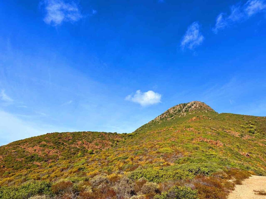
A long weekend immersed in the forest.
You depart from Monti Mannu (having arrived in Villacidro by public transport and Monti Mannu by taxi or minibus, and can stay inexpensively at the first great tavern on the Trail), to hike across Sardinia’s most extensive forests in three stages. You will walk over the granite rocks of mounts Linas and Oridda, carved by spectacular waterfalls, and over the limestone formations of the Fluminese region, with beautiful caves like the one of Su Mannau; then you will reach the temple of Antas and arrive at the mining village of San Benedetto where the stage ends. Summer is perhaps the best time to enjoy the majesty and beauty of these mountains, walking through forests filled with light and sheltered from the glaring sun.
Hiking Itinerary | For Those Who Have Two Weeks


- Distance: 193km
- Elevation Gain: 4120m
- Average Duration: 10 days
- Difficulty level: Easy to Medium
- Start/Finish: Campigna to Camaldoli
Mines, biodiversity and archaeology.
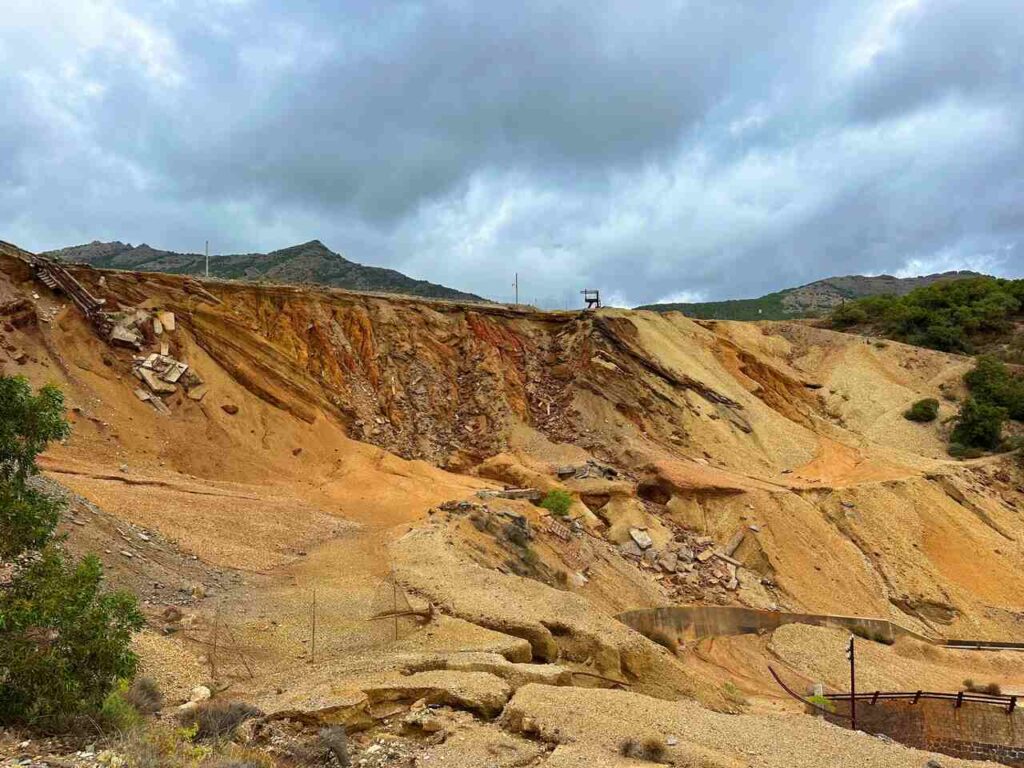
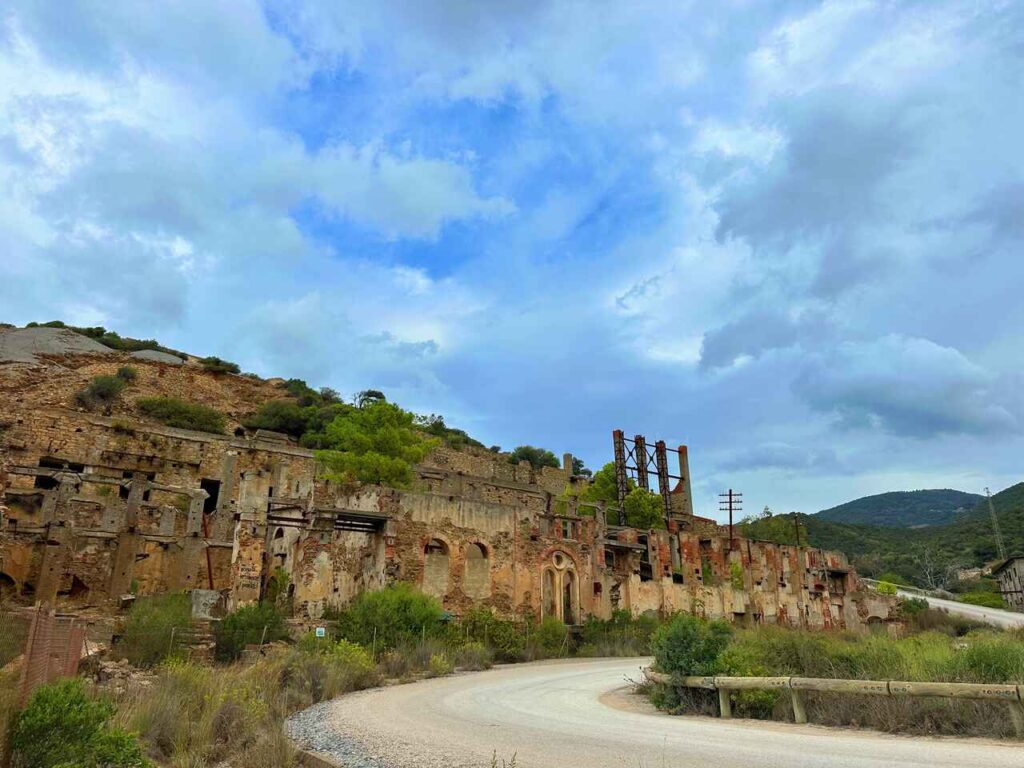
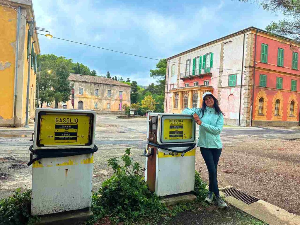
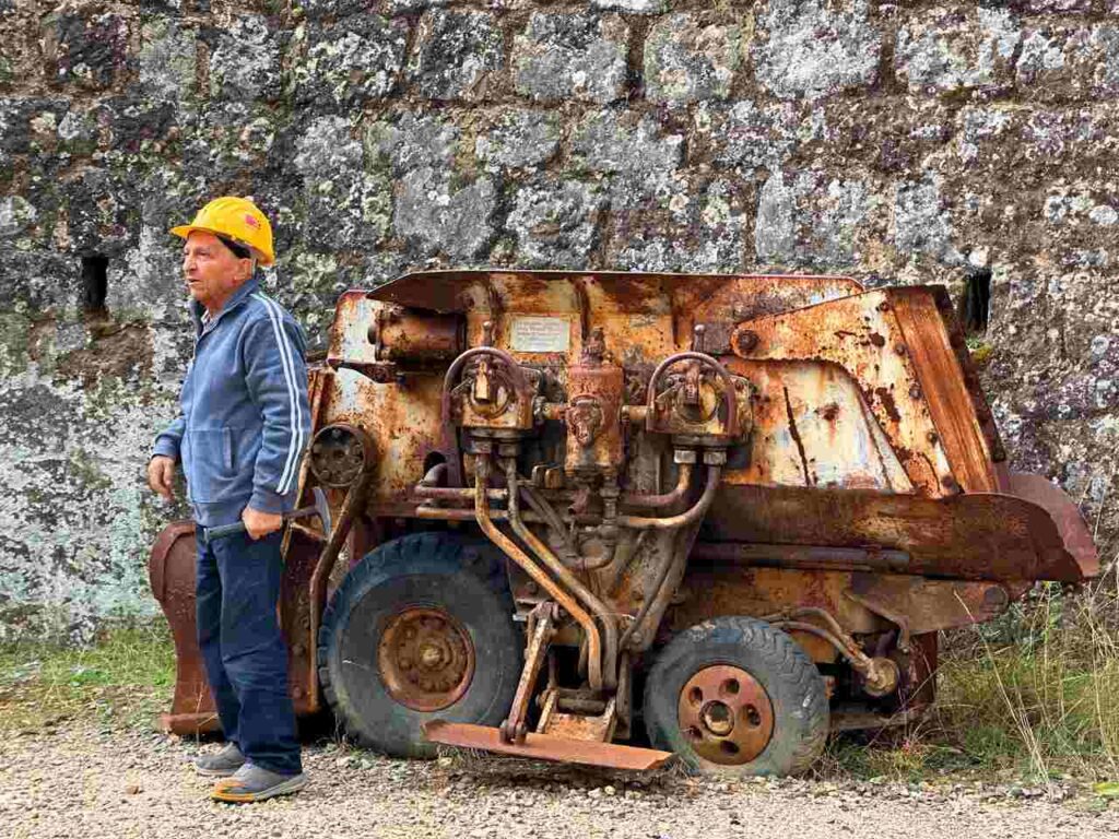
From Domusnovas-Musei to Carbonia, from the Cixerri valley to the lower Sulcis. Over ten stages you will experience a taste of all the attractions of this Trail: abandoned mines, traces of ancient railways, the splendid vines of Carignano, some of Sardinia’s most beautiful south- western caves. Following the mountains and the valleys, we reach the coast by crossing the lagoons and dunes of Porto Pino as far as the Palmas gulf wetlands, which is home to fascinating salt pans, together with a large variety of bird species. Continuing towards the city of Carbonia we walk between ancient churches and many archaeological sites, crossing the disused mines of the large Sulcis coal basin. Spring, autumn and winter are the ideal seasons in which to appreciate these places’ colours and scents
This journey along Il Cammino Minerario di Santa Barbara was unforgettable. Because of its variety, there is a section for any adventure seeker.
👇🏻Feel free to book a “Discover Italy like a Local” with me 👇🏻
Catch You Outside,
Elena
Frequently Asked Questions
Do you need an expert guide to accompany you?
You can do it yourself or find a guide
Dog allowed?
Yes, You can take your puppy… but only if you collect their 💩!!
Where to sleep? Tent?
On the way, there are B&Bs, farmhouses/agriturismo, room rentals, hostels, and some hotels and mountain huts/lodges. At https://www.camminominerariodisantabarbara.org/en/hospitality/, you can find suggestions for each stage.
You can do it with your tent, but remember you are close to towns and/or villages. Always check the area’s requirements where you can camp.
Difficulty
Most of the sections are E; some sections are EE (experienced hikers), mostly because they are long days and have fair elevation gains).
Credentials?
YES! Asked them here
Best months to hike it?
- Spring, Autumn and Winter. In summer, it can be very hot, but still doable if you leave early in the morning and make sure you have plenty of water
- As usual, check weather forecasts for safety, avoiding the trail during heavy rain or strong winds.
What to bring?
- Wear sturdy, comfortable hiking shoes suitable for various terrains.
- Carry trekking poles for stability.
- Hard to get reception, so make sure you carry a satellite phone or BECON
Trail waymarking
- Fairly well-marked trail; it could be improved.
- Have a Gpx map with you.
Planning Information
Options along the way if you want to shorten up the sections.
Getting there & Away
Few options:
- By car
- By Train to Iglesias from Cagliari (1h) or Olbia (5h and changes)
Permits & Fees
No Permits required.
IMPORTANT: Pay close attention to the data contained in this description.
They may be incomplete or outdated. The paths may change over time due to bad weather, fires or simply the change of seasons. Check in the comments if anyone has made any reports or recommended any changes.
Do you still have a question?
"Discover Italy Like a Local" Consultation
I always try to write everything I can to give the best possible informations, but if you feel like you need a specific and tailored consultation, feel free to book a one-on-one consultation to address your concerns, answer your questions, and provide support throughout the planning process.❤️

