Il cammino di San Nilo (the San Nilo Way), Campania, Italy
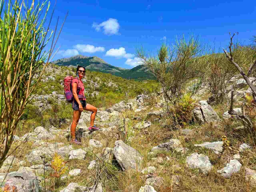
Italy is full of ancient pilgrimage routes and long-distance hiking trails, but few are as unique and authentic as the San Nilo Way (Cammino di San Nilo). Stretching from the Tyrrhenian coast at Sapri to the legendary cliffs of Palinuro, this eight-day itinerary takes you through the heart of Cilento National Park in southern Italy. Along the way, you’ll cross medieval villages, Byzantine chapels, pristine forests, deep gorges, and waterfalls that look like something out of a fairytale.
The route is named after Saint Nilo of Rossano, a Byzantine monk born in Calabria in the year 910. Known for his wisdom and spirituality, Nilo traveled across southern Italy, founded monastic communities, and eventually established the famous Abbey of Grottaferrata near Rome. Walking in his footsteps means not only exploring wild landscapes, but also reconnecting with a deep spiritual heritage where East meets West, and where silence and simplicity still shape local culture.
The San Nilo Way covers around 111 km divided into 8 stages, each ranging from 10 to 27 km. It connects 13 villages and countless sites of cultural and natural interest. Unlike the more famous Camino de Santiago or Via Francigena, this is still a hidden gem: you’ll likely have entire sections of trail to yourself, except for shepherds, farmers, and the occasional pilgrim.
If you are looking for a journey that blends spirituality, authentic Italian culture, and pure wilderness, the San Nilo Way deserves a spot on your hiking bucket list.
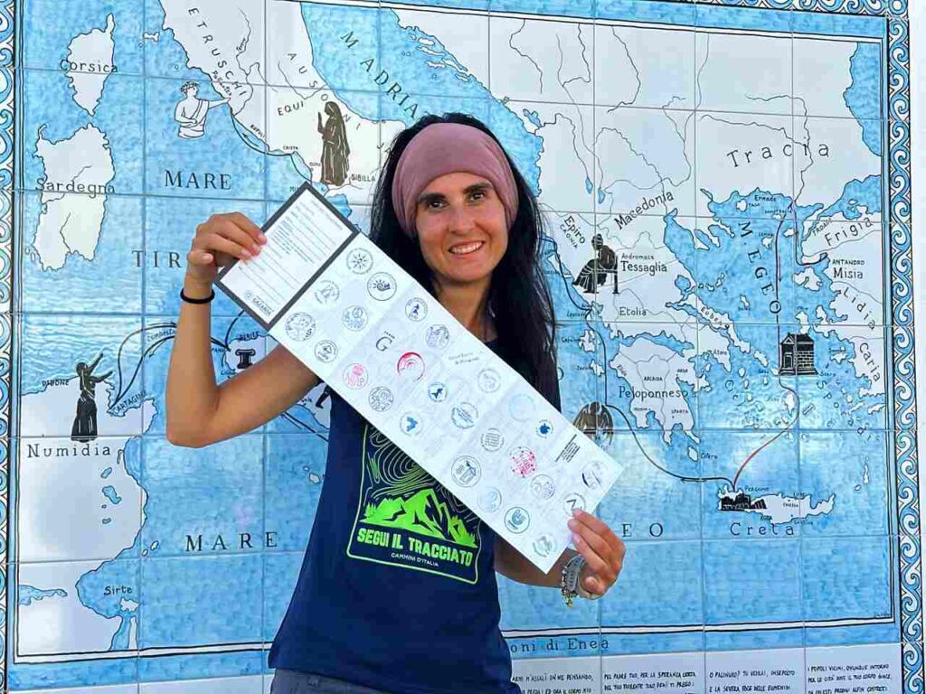
I did it in 6 days, so you will find below the track in 6 days. If you want to do it in 8 days, you can check the FAQ.
Catch you outside,
Elena
- Where: Campania, Cilento
- Multi Day Hike
- Distance: 111km
- Average Duration: 6 days
- Difficulty Level: Medium
- Total Elevation Gain: 4002m
- Point to Point
- Start/Finish: Sapri to Palinuro
Who is this hike for?
This hike is best suited for those with a good fitness level. While the days can be long and involve significant elevation gain, the trail is not technical. It’s well-marked, but having GPX traces is always essential. As always, be well-prepared for emergencies.
Why Walk the San Nilo Way?
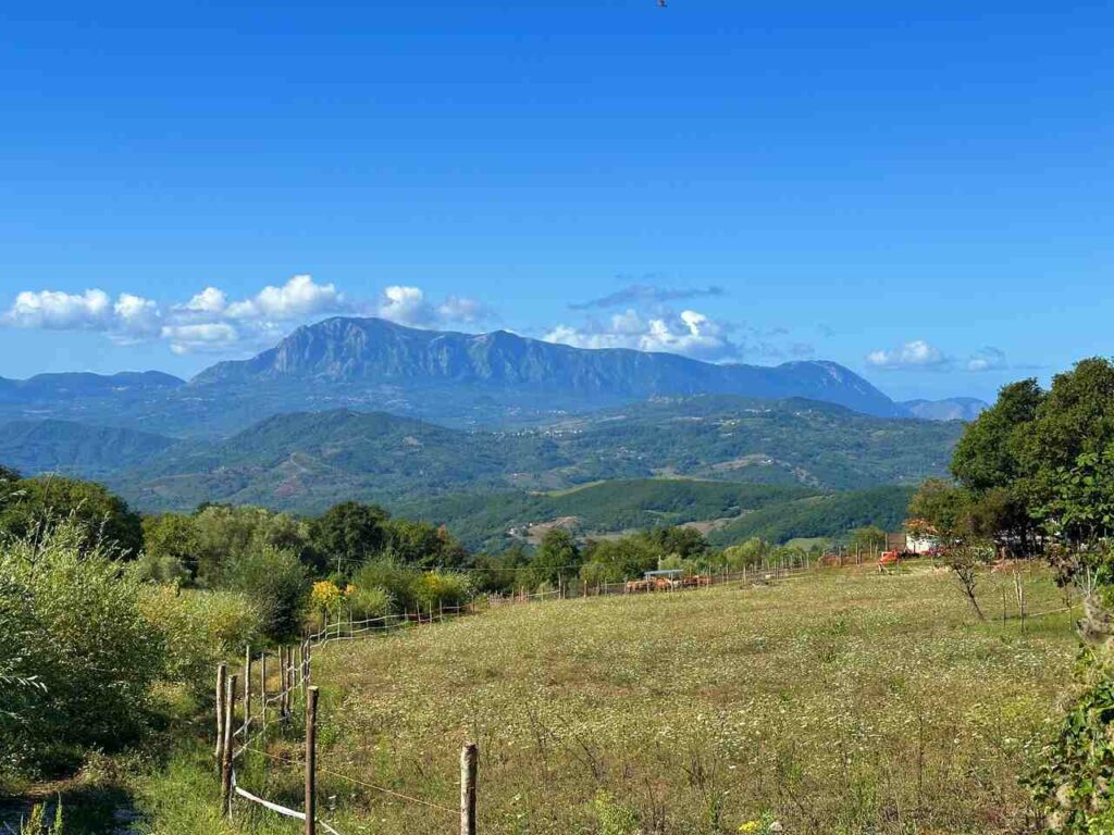
- Untouched landscapes: The trail crosses the Cilento and Vallo di Diano National Park, a UNESCO World Heritage Site, with pristine forests, rivers, and mountains.
- Byzantine and Italogreek history: This region was shaped by Byzantine monks who left churches, abbeys, and hermitages still visible today.
- Spiritual depth: Even if you’re not religious, walking in silence through ancient villages and hermit caves offers space for reflection.
- Authentic Italian villages: Unlike touristy Tuscany or Umbria, the Cilento villages you’ll visit are still rooted in traditional agriculture, crafts, and hospitality.
- A journey from sea to sea: The trail begins on the coast at Sapri, climbs through mountains and forests, and ends again by the sea at Palinuro.
Day 1 | Sapri to Torraca
- Distance: 10km
- Elevation Gain: 680m
- Average Duration: 3.30-4h
- Difficulty level: Medium
- Start/Finish: Sapri to Torraca
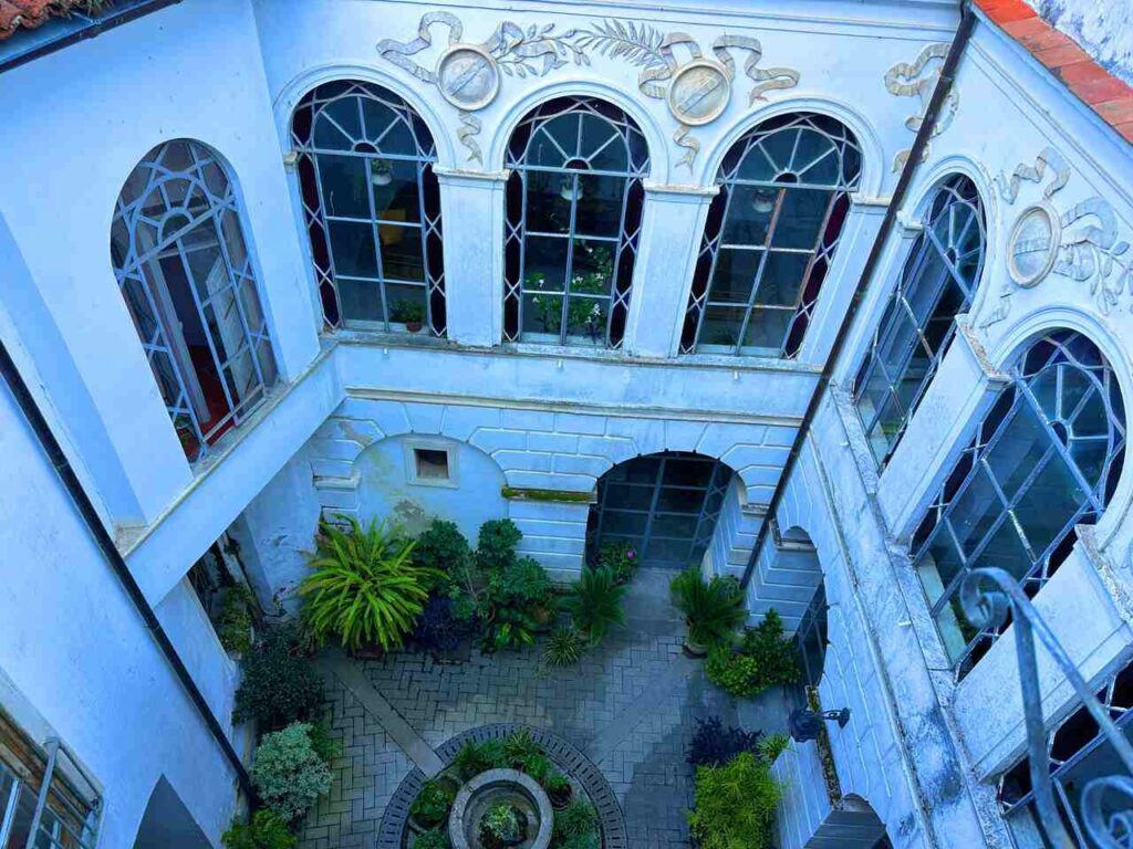
Our pilgrimage started in Sapri, a coastal town that has seen Roman, Byzantine, and medieval history. Before leaving, visit the Pozzo di San Vito, and the statue of the Spigolatrice di Sapri, a symbol of local history and poetry.
From there the trail quickly climbs inland, opening panoramic views of the Gulf of Policastro. Soon you reach the Church of San Fantino, dedicated to the spiritual mentor of Saint Nilo and one of the rare Byzantine-style churches preserved in Cilento.
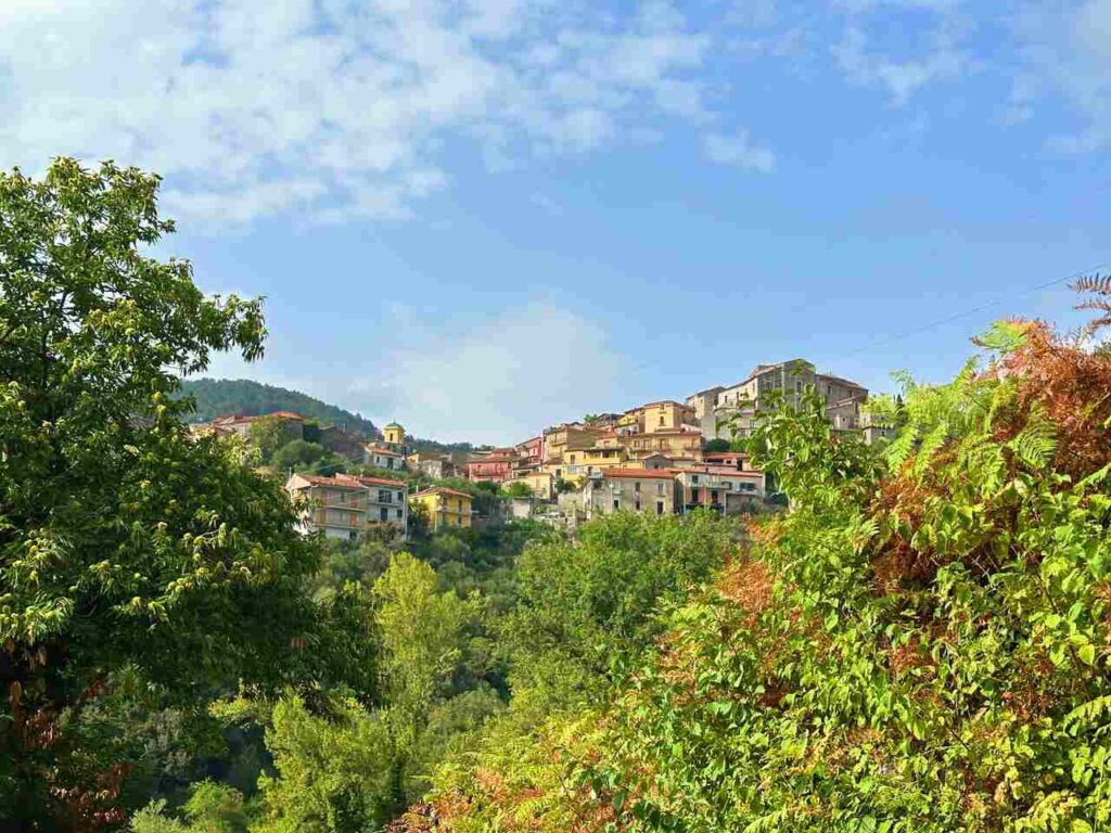
After about 10 km, you arrive at Torraca, a medieval hilltop village. Its Baronial Castle dominates the valley and is the perfect spot to end your first day, watching the sunset over the mountains.
In Torraca I got immersed in a way of life that feels truly authentic.
Are you visiting Italy? I have prepared the perfect guides for you!

Day 2 | Torraca to Casaletto Spartano
- Distance: 13.7 km
- Elevation Gain: 530m
- Average Duration: 4-5h
- Difficulty level: Medium
- Start/Finish: Torraca to Casaletto Spartano
Leaving Torraca behind, the path winds through forests and valleys, accompanied by the constant sound of the Rio Bussentino river. The scenery becomes wilder, with alternating climbs and descents.
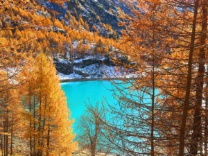
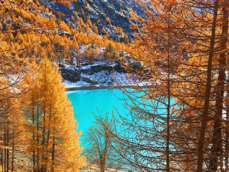
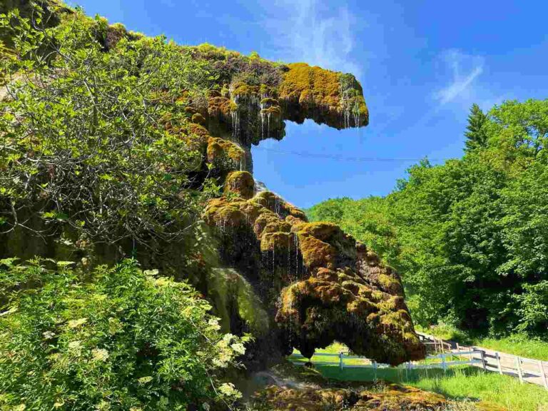
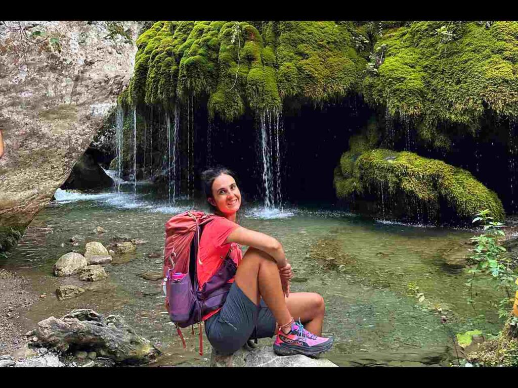
The highlight of this stage is the Oasis Capelli di Venere – waterfalls flowing over moss and ferns, forming delicate veils of water that resemble strands of hair. This natural wonder is one of the most photogenic spots along the entire route.
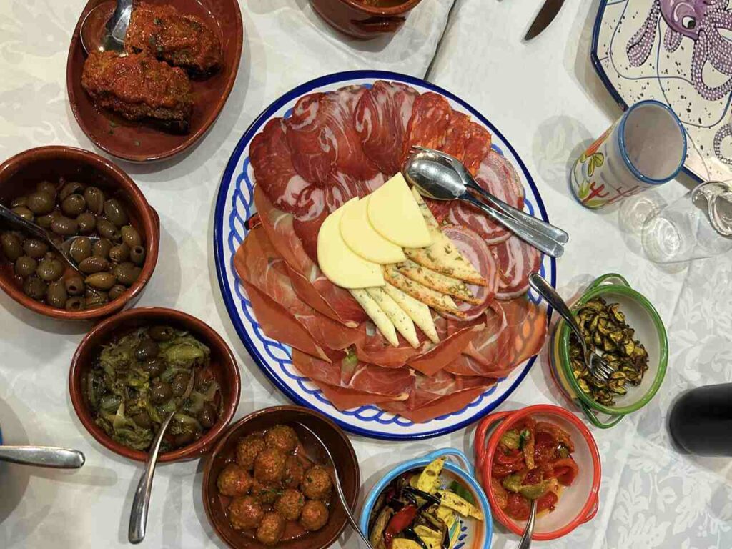
The stage ends in Casaletto Spartano, a rural village that still preserves its traditional character. Here, time seems to move more slowly, and hospitality is warm and simple.
Day 3 | Casaletto Spartano to Caselle in Pittari (passing thru Morigerati)
- Distance: 20km
- Elevation Gain: 1030m
- Average Duration: 6-8h
- Difficulty level: Hard
- Start/Finish: Casaletto Spartano to Caselle in Pittari
Stage 3 is considered one of the most spectacular days of the San Nilo Way.
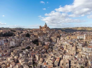
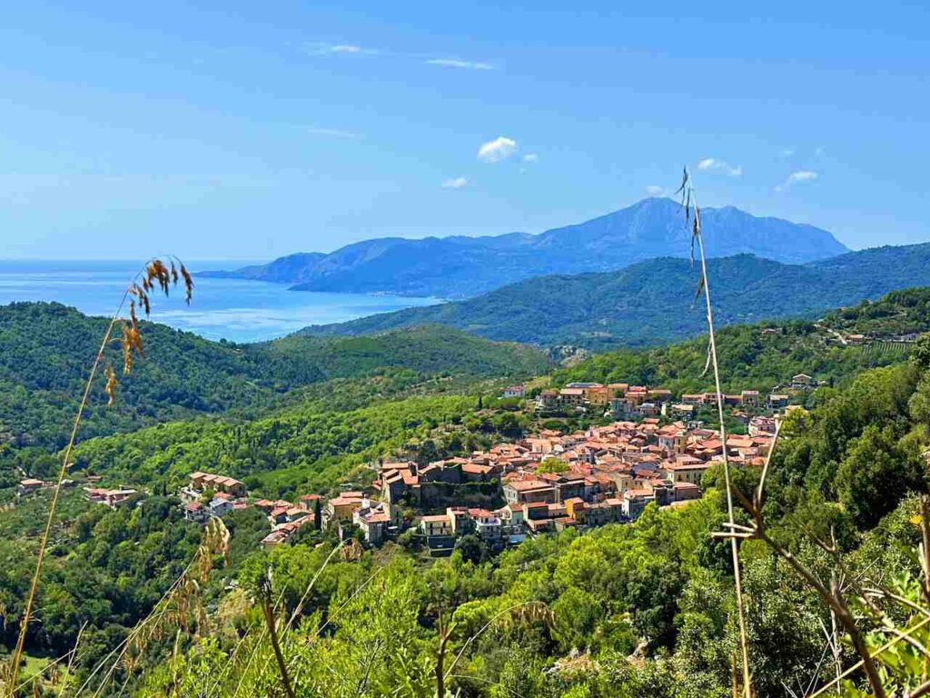
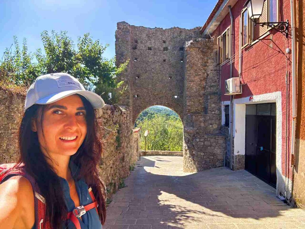
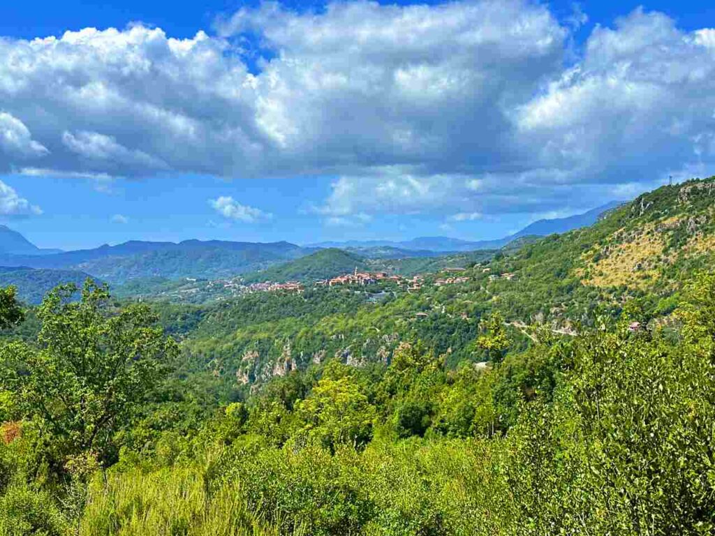
Shortly after leaving Casaletto, you pass through Tortorella, a hidden medieval jewel perched at 600 meters. Its stone alleys, Norman walls, and 11th-century Mother Church create an atmosphere suspended in time.
Then the path dives into the Farneto Forest, where giant beeches and oaks create a green cathedral of silence. Walking here feels like entering an ancient sanctuary.
Next comes Morigerati, a small village that hosts the WWF Oasis of the Bussento Caves. This nature reserve protects a karstic river that disappears underground and reemerges in dramatic gorges surrounded by wooden bridges and rare flora. Don’t miss the Ethnographic Museum, which tells the story of shepherds, artisans, and farmers of the area.
The stage culminates at the Hermitage of San Michele near Caselle in Pittari. From here, wide views stretch across mountains and valleys. The village is famous for the Palio del Grano, a traditional grain festival celebrating community and agricultural heritage.
Day 4 | Caselle in Pittari to Laurito (passing thru Rofrano)
- Distance: 23.7km
- Elevation Gain: 870m
- Average Duration: 6-8h
- Difficulty level: Medium
- Start/Finish: Caselle in Pittari to Laurito
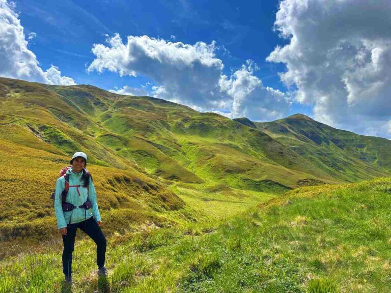
This is the longest and toughest stage so far, but also one of the most rewarding.
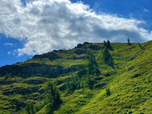
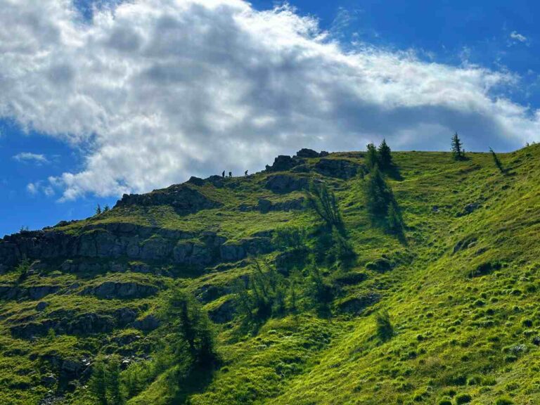
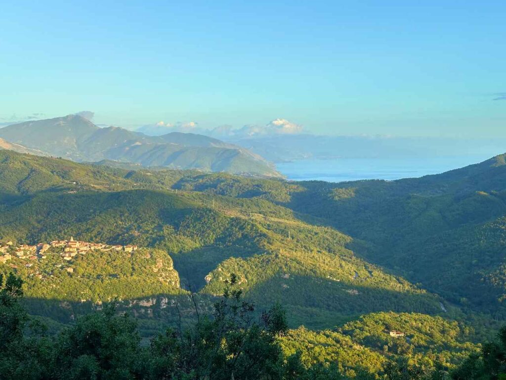
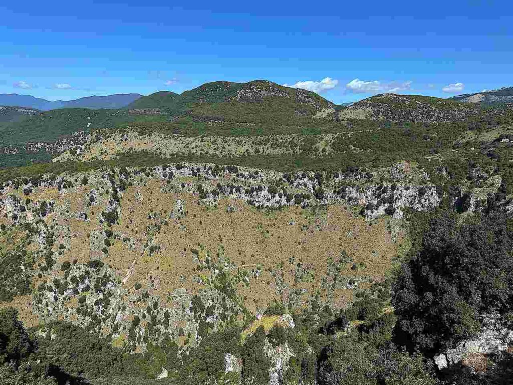
You’ll climb to the Monte Centaurino ridge (755 m), the highest point of the San Nilo Way. The effort is compensated by sweeping views of the Cilento mountains and the distant Tyrrhenian Sea.
Descending from the mountain, you reach Rofrano, a village deeply linked to Italogreek monasticism. From here, pilgrims could also take a variant up to Mount Gelbison (Monte Sacro), crowned by the Sanctuary of the Madonna of Novi Velia, one of the most important pilgrimage sites in southern Italy.
The stage ends at Laurito, a quiet rural town where Byzantine frescoes still decorate local churches. Here, spirituality, art, and farming traditions converge, offering the perfect place to rest after a demanding day.
Day 5 | Laurito to San Mauro la Bruca (passing thru Montano Antilia, Cuccaro Vetere and San Nazario)
- Distance: 27.8km
- Elevation Gain: 570m
- Average Duration: 7-8h
- Difficulty level: Hard
- Start/Finish: Laurito to San Mauro la Bruca
Stage 5 is the longest of the San Nilo Way and the one most charged with spirituality.
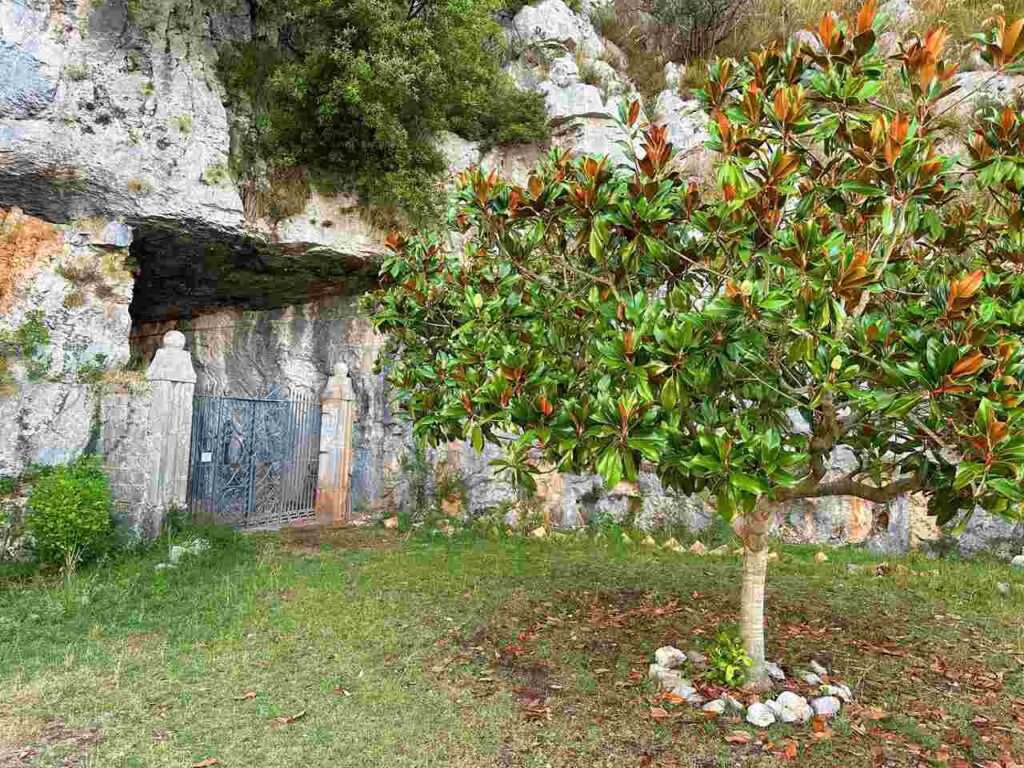
From Laurito, the path leads to Montano Antilia, where you can visit the Holy Stair Chapel (Scala Santa). Pilgrims traditionally climb its 28 steps on their knees, in imitation of Rome’s Scala Santa.
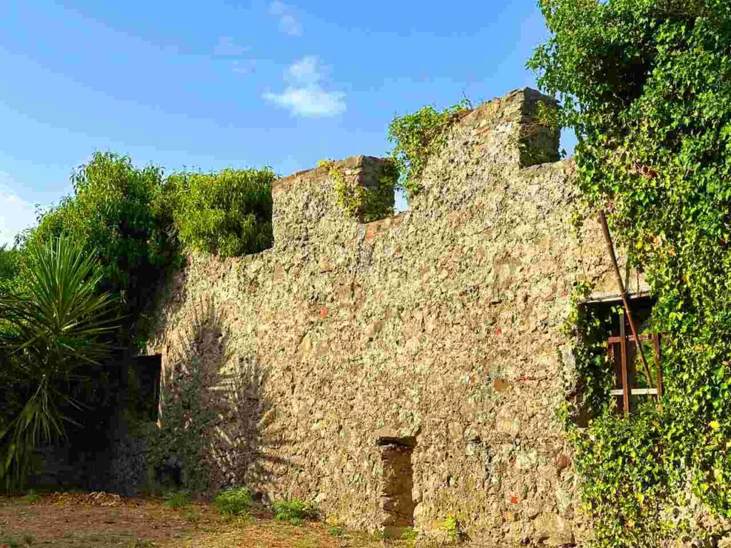
Further on stands the Abbey of Santa Cecilia (near Futani), a ruined Italogreek monastery where the silence of the past still resonates.
In Cuccaro Vetere, narrow alleys and chapels preserve local devotion. But the spiritual climax of this stage comes at San Nazario, where Saint Nilo received the monastic tonsure. The small Church of Santa Croce here is a rare Byzantine relic and a symbolic stop for pilgrims.
After nearly 28 km, you finally reach San Mauro la Bruca, a welcoming village where you can rest before the final stage.
Day 5 | San Mauro la Bruca to Palinuro
- Distance: 15.1km
- Elevation Gain: 317m
- Average Duration: 4h
- Difficulty level: Easy
- Start/Finish: San Nazario to Palinuro
The last stage begins with mixed feelings: joy for the approaching sea, and nostalgia for the journey’s end.
From the ridges, the Tyrrhenian coastline suddenly appears, with the unmistakable profile of Capo Palinuro. The descent is mostly exposed to the sun, so start early and carry plenty of water.
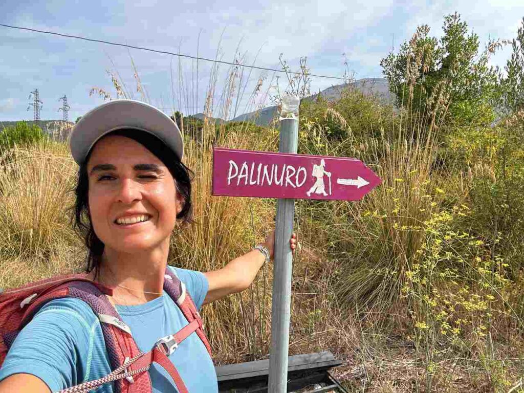
Finally, you reach Palinuro, famous for its cliffs, caves, and mythological past. According to Virgil’s Aeneid, Palinurus, the helmsman of Aeneas, drowned here after falling asleep. His sacrifice gave name to this stretch of coast.
Ending the trail at the sea feels like a transformation: from Sapri’s waters to Palinuro’s waves, you’ve crossed mountains, forests, and villages, following the footsteps of Saint Nilo and discovering a timeless corner of Italy.
Are you visiting Italy soon?
I have prepared the perfect guides for you!
The San Nilo Way is more than just a hike: it is a journey through time, nature, and spirit. Each stage reveals a different face of Cilento: waterfalls hidden in the forest, medieval villages clinging to the mountains, hermitages carved into the rock, and vast horizons where sea and mountains meet.
It’s not just about covering kilometers. It’s about slowing down, listening to silence, and connecting with landscapes and communities that have preserved their identity for centuries.
For those who dream of a trail in Italy that is authentic, off-the-beaten-path, and deeply meaningful, the San Nilo Way is a pilgrimage worth undertaking. From Sapri to Palinuro, every step leaves a mark — not only on the trail, but inside yourself.
👇🏻Feel free to book a “Discover Italy like a Local” with me 👇🏻
Catch You Outside,
Elena
Frequently Asked Questions
Full hike infos
Find them here.
Do you need an expert guide to accompany you?
Find them here.
Or contact directly [email protected]
Dog allowed?
No, it is a national park so dogs are not allowed
Where to sleep? Tent?
You can do it by tent, but you need to be sure to arrange it before
Difficulty
Most of the sections are E; some sections are EE (experienced hikers), mostly because they are long days and have fair elevation gains).
Credentials?
Best months to hike it?
- Avoid summer
- As usual, check weather forecasts for safety, avoiding the trail during heavy rain or strong winds.
What to bring?
- Wear sturdy, comfortable hiking shoes suitable for various terrains. It is not a walk in the park and is more challenging than expected.
- Carry trekking poles for stability.
Trail waymarking
- Very well-marked trail.
- StillYOU MUST HAVE a Gpx map with you.
Planning Information
Getting there & Away
Few options:
- by train is your best option. There is the fast train arriving to Sapri. and normal train passing in Palinuro
Permits & Fees
No Permits required.
IMPORTANT: Pay close attention to the data contained in this description.
They may be incomplete or outdated. The paths may change over time due to bad weather, fires or simply the change of seasons. Check in the comments if anyone has made any reports or recommended any changes.
Do you still have a question?
"Discover Italy Like a Local" Consultation
I always try to write everything I can to give the best possible informations, but if you feel like you need a specific and tailored consultation, feel free to book a one-on-one consultation to address your concerns, answer your questions, and provide support throughout the planning process.❤️