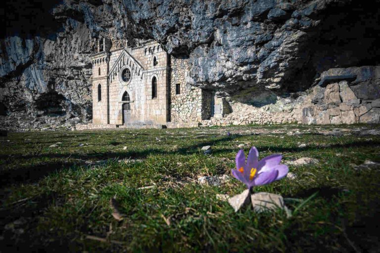
Il Sentiero delle Foreste Sacre, Emilia Romagna, Italy
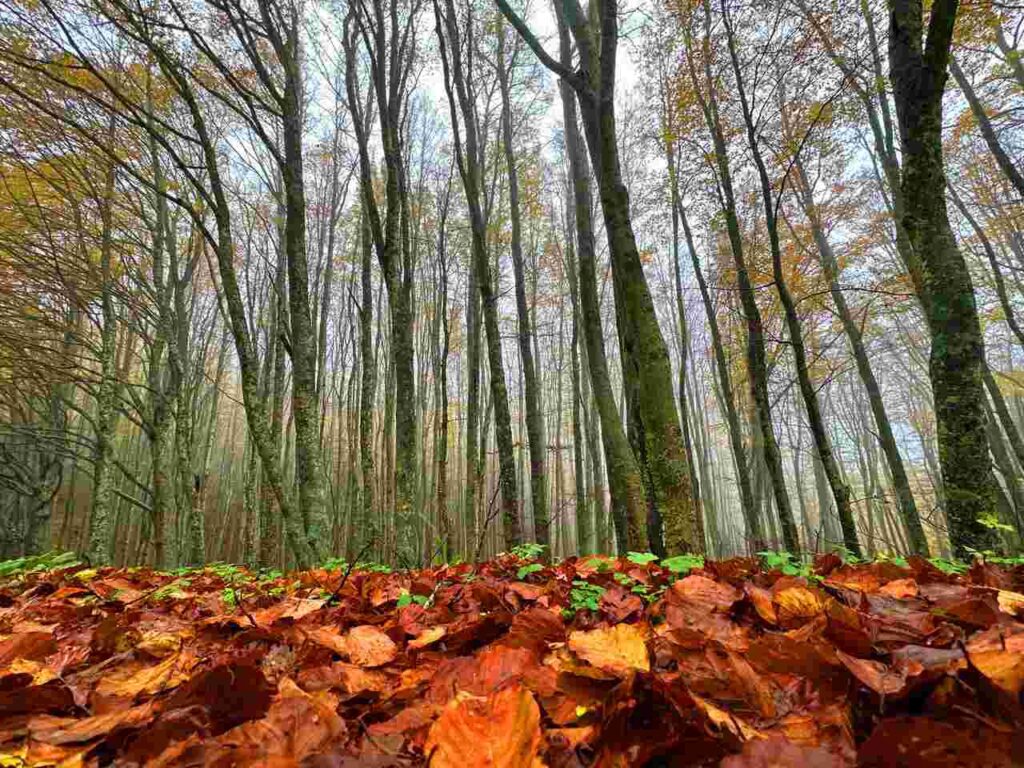
Walking the Sacred Forests Trail means experiencing the benefits of hiking in untouched nature. In this foliage haven, you can wander through dense forests, scenic valleys, and monasteries where silence reigns.
If you’re looking to escape the chaos and immerse yourself among the trees, here’s everything you need to know about the Sacred Forests Trail: 7 days to rediscover yourself in a world that feels like a dream, where cars and noise don’t exist.
Catch you outside,
Elena
- Where: Emilia Romagna
- Multi Day Hike
- Distance: 100km
- Average Duration: 7 days
- Difficulty Level: Easy to Medium
- Total Elevation Gain: 4600m
- Point to Point
- Start/Finish: Lago Ponte di Tredonzio to Santuario di La Verna
Who is this hike for?
This hike is best suited for those with a good fitness level. While the days can be long and can involve significant elevation gain, the trail is not technical. It’s well-marked but if you don’t speak the language, having GPX traces is essential. As always, be well-prepared for emergencies.
Day 1 | Lago Ponte di Tredonzio – San Benedetto in Alpe
- Distance: 8km
- Elevation Gain: 467m
- Average Duration: 3h
- Difficulty level: Easy to Medium
- Start/Finish: Lago di Ponte Tredonzio to San Benedetto in Alpe
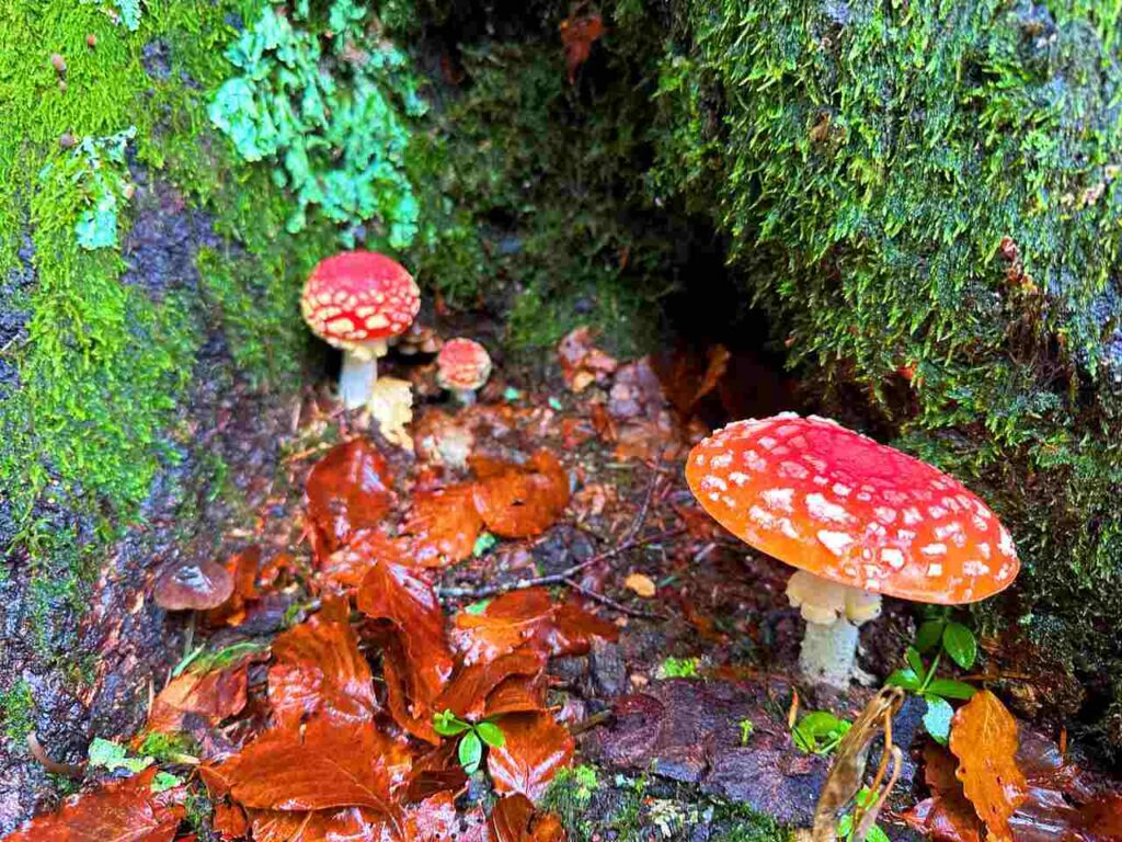
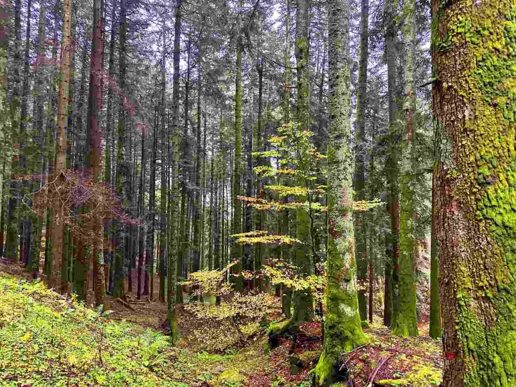
This stage leads from Lago di Ponte along the Fosso dei Campacci valley to San Benedetto in Alpe. The trail first crosses a beautiful beech forest, then ascends a ridge that opens up to panoramic views and reaches Colle del Tramazzo (971 m). The descent follows the Susinelli ridge, which leads to the valley of Fosso dell’Acquacheta. In Poggio, above the village of San Benedetto in Alpe, there is an ancient Benedictine abbey.
Day 2 | San Benedetto in Alpe – Castagno d’Andrea
- Distance: 22.3km
- Elevation Gain: 1069m
- Average Duration: 6-7h
- Difficulty level: Easy to Medium
- Start/Finish: San Benedetto in Alpe to Castagno d'Andrea
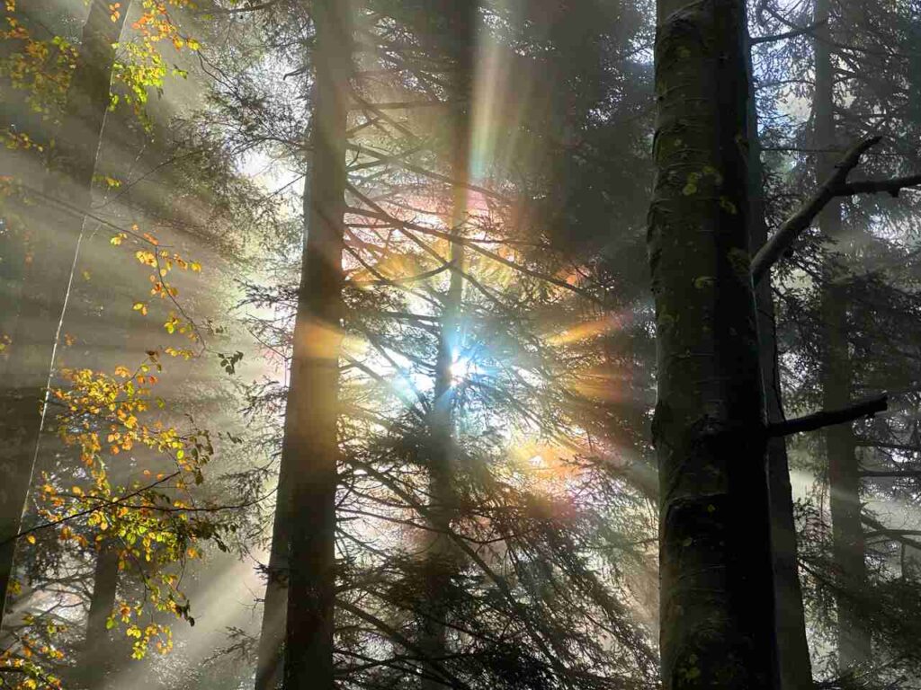
This stage starts in one of the Casentino Forests National Park treasures: San Benedetto in Alpe and the stunning Acquacheta Waterfall. Following the gentle flow of the Acquacheta stream, I arrived at the famous waterfall, beautifully captured in Dante’s poetry. Once past thewaterfall, I crossed the peaceful Piana dei Romiti and then detoured to visit the serene Toschi Hermitage. Continuing towards Passo del Muraglione, I descended arriving at the picturesque historic village of Castagno d’Andrea, tucked into a beautiful alpine landscape.
Day 3 | Castagno d’Andrea -Campigna
- Distance: 12.9 km
- Elevation Gain: 1100m
- Average Duration: 5-6h
- Difficulty level: Medium
- Start/Finish: Canossa - Carpineti
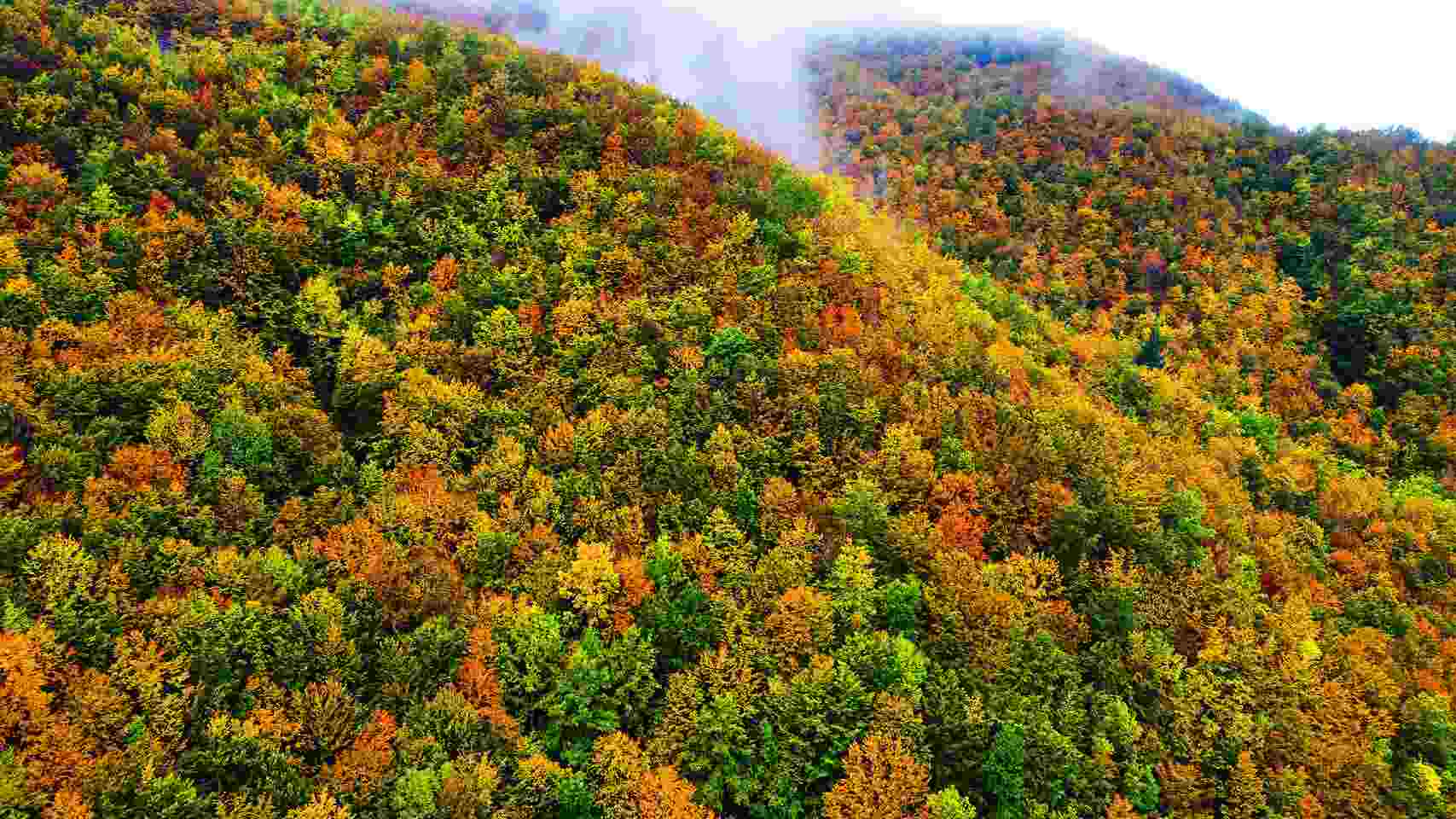
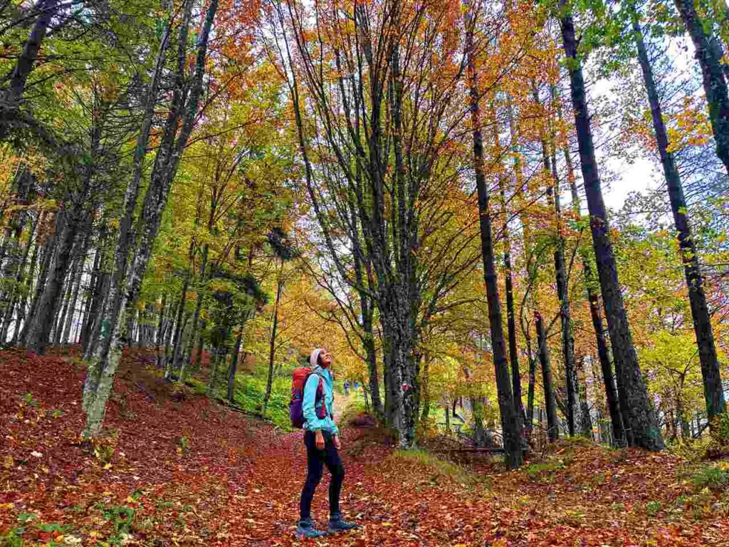
This leg of my journey took me to the heights of the Casentino Forests National Park, following the paths of mountain streams. Along the way, I visited the spring that marks the source of the iconic Arno River, before arriving at the mystical Lago degli Idoli. This ancient worship site, where votive bronzes dating back to the 6th-5th centuries B.C. were discovered, felt like stepping back in time.
From the summit of Monte Falco (1658 meters), the highest peak in the park, and its ridge, I enjoyed sweeping views over the Tuscan and Romagna landscapes. The panorama is so good—imagine standing there, the world stretching out before you, with both regions laid out like a painting.
Day 4 | Campigna – Camaldoli
- Distance: 13.1km
- Elevation Gain: 450m
- Average Duration: 5-6h
- Difficulty level: Easy to Medium
- Start/Finish: Campigna to Camaldoli
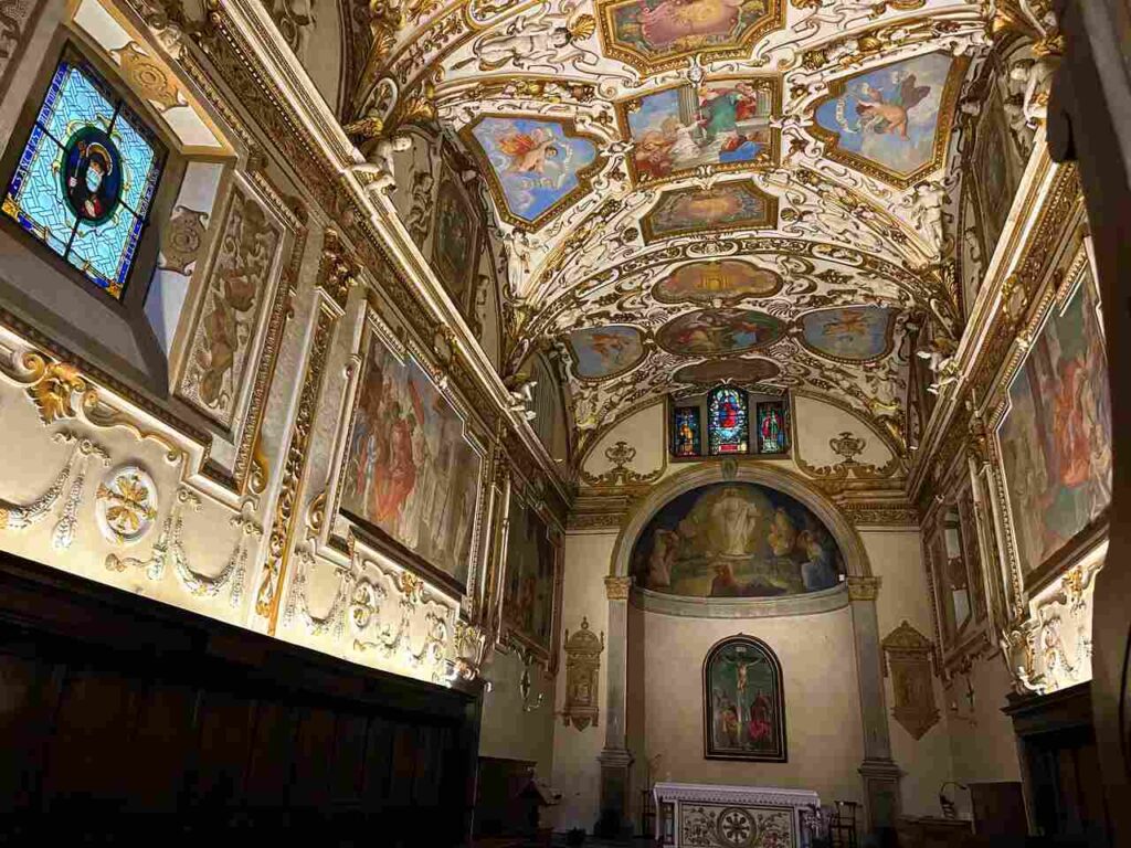
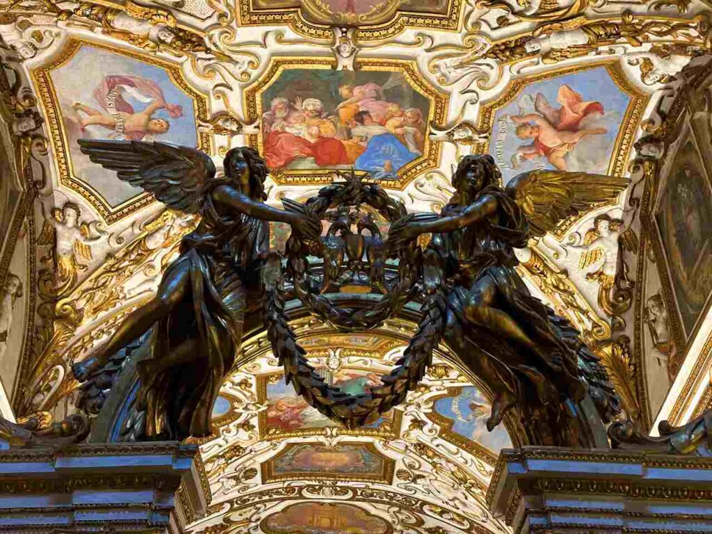
This stage of my adventure led me to a truly magical place: the Hermitage of Camaldoli and its majestic forest. Here, I could feel the deep mysticism that blends the ancient religious practices with the surrounding nature. From Campigna, I climbed towards Passo della Calla, and from there, I continued along the ridge that brought me face to face with two integral reserves: Sasso Fratino and La Pietra, the beating hearts of the National Park.
The dense forest opened up only at the remarkable summit of Poggio Scali (1520 meters), and soon after, the path began to gently descend, guiding me toward the Sacred Hermitage. From the Hermitage, I made my way down to the quaint village of Camaldoli, where I found myself surrounded by the peaceful beauty of the forest.
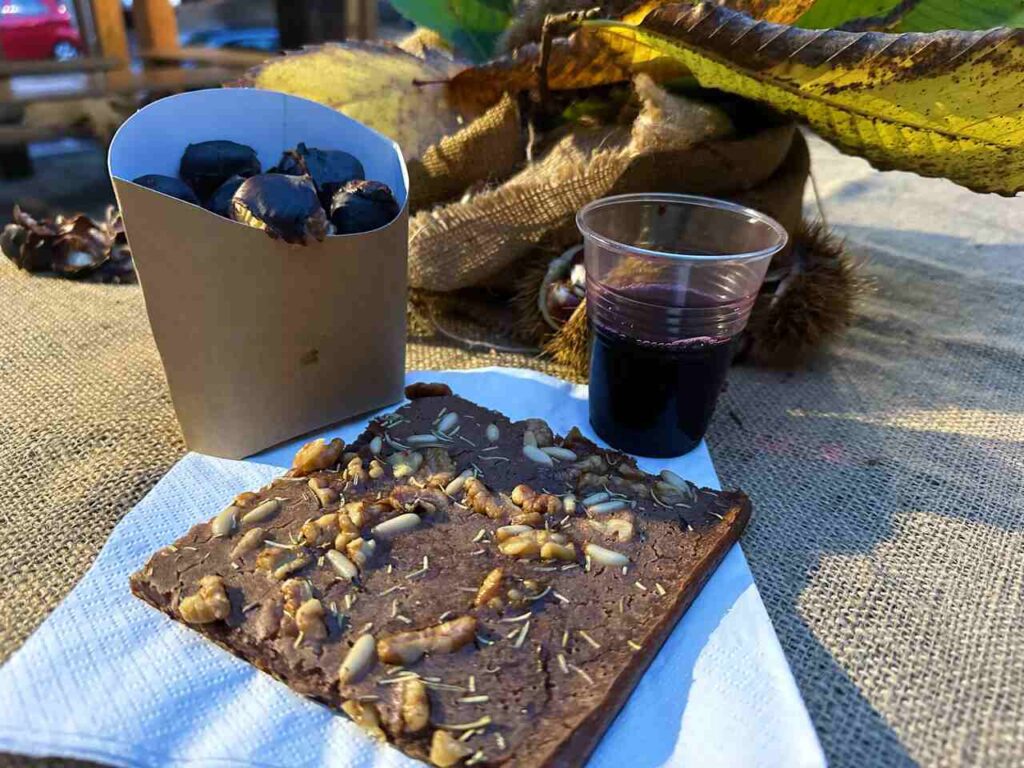
Imagine sinking into this serene setting, savoring the local schiacciata and allowing yourself a few hours of pure relaxation. It’s the perfect way to close a journey filled with nature and history.
Day 5 | Camaldoli to Badia Prataglia
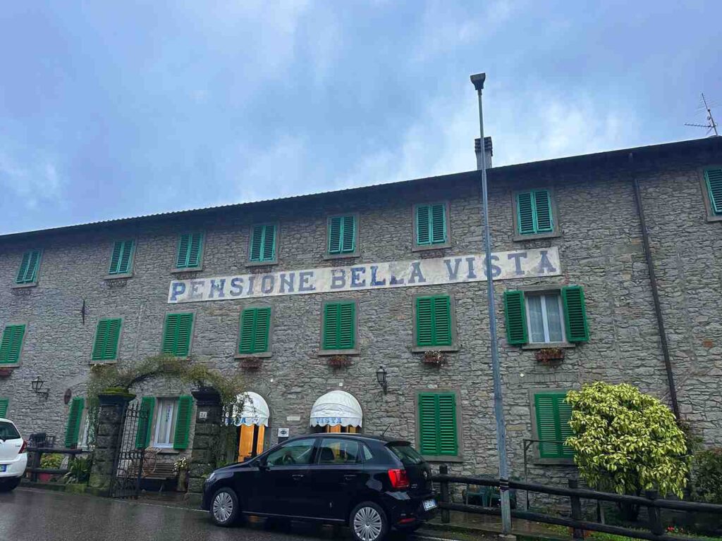
- Distance: 13.1km
- Elevation Gain: 789m
- Average Duration: 5-6h
- Difficulty level: Easy to Medium
- Start/Finish: Camaldoli to Badia Prataglia
From there, I set off towards Badia Prataglia, and I higly suggest you to make a detour to Monte Penna, the detour is where the summit reveals a breathtaking panorama of the valleys converging around Lake Ridracoli. If you choose not to take the detour, the path continues towards Poggio allo Spillo before winding its way down to the village of Badia Prataglia.
Once I reached the village, I took a brief stroll through the historic center, followed by a warm dinner and an overnight stay.
Day 6 | Badia Prataglia to Rimbocchi
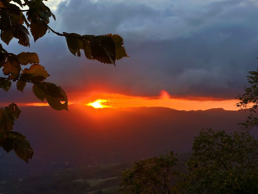
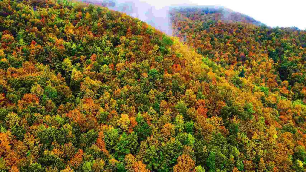
- Distance: 16.2km
- Elevation Gain: 844m
- Average Duration: 5-6h
- Difficulty level: Medium
- Start/Finish: Badia Prataglia to Rimbocchi
Leaving behind the beech and fir forests, I entered the peaceful Vallesanta, heading towards the sacred Mount La Verna. From Badia Prataglia, I followed the path through a series of scenic ridges: Poggio Lombarona, Poggio dei Mandrioli, Poggio Magiovanna, Poggio Valle, and finally Poggio della Forca.
Day 7 | Rimbocchi to La Verna
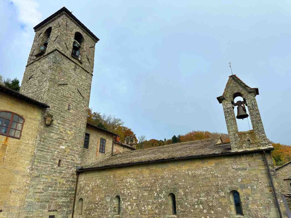
- Distance: 7.2km
- Elevation Gain: 685m
- Average Duration: 2-3h
- Difficulty level: Easy
- Start/Finish: Rimbocchi to La Verna
I set out in the morning from Rimbocchi, following the road towards Chiusi. Upon reaching the foothills of Monte Penna (1243 meters)—a namesake of the mountain I encountered earlier in the journey, though slightly lower—I had a choice to make. I could either take the path to the right, leading to the Rupe del Precipizio, and enter the Sanctuary of La Verna from the southern entrance, or take the path to the left for a circular route. This option brought me to the summit of the mountain, passing by Sasso di Fra Lupo, before descending towards the sanctuary’s northern entrance.
After a morning of walking, I enjoyed a relaxed lunch and spent the rest of the day exploring the Sanctuary of La Verna.
This journey along Le Foreste Sacre was unforgettable. If you have the chance to go there in autumn, you won’t regret it, I promise. It combines breathtaking landscapes with autumn colours and the silence of the forests.
👇🏻Feel free to book a “Discover Italy like a Local” with me 👇🏻
Catch You Outside,
Elena
Frequently Asked Questions
Full hike infos
Find them here.
And you can send all your enquiries to info@parcoforestecasentinesi.it
Do you need an expert guide to accompany you?
Easy to go on your own, but you can get a guide if you like.
Dog allowed?
Yes, You can take your puppy… but only if you collect their 💩!!
Where to sleep? Tent?
On the way, there are B&Bs, farmhouses/agriturismo, room rentals, hostels, and some hotels and mountain huts/lodges. Check here for suggestions on each stage.
You CANNOT do it with TENT. It’s forbidden in the park.
Difficulty
Most of the sections are E; some sections are EE (experienced hikers), mostly because they are long days and have fair elevation gains).
Credentials?
No credentials for this trail.
Best months to hike it?
- Summer, Spring and Autumn
- Autumn is my suggestion.
- As usual, check weather forecasts for safety, avoiding the trail during heavy rain or strong winds.
What to bring?
- Wear sturdy, comfortable hiking shoes suitable for various terrains.
- Carry trekking poles for stability.
Trail waymarking
- Fairly well-marked trail
- Have a Gpx map with you (download it from this blog post)
Planning Information
Options along the way if you want to shorten up the sections.
Getting there & Away
Few options:
- By car
- By Train to Reggio Emilia easily reached by anywhere in Italy
- By Bus from San Pellegrino in Alpe to Reggio Emilia
Permits & Fees
No Permits required.
IMPORTANT: Pay close attention to the data contained in this description.
They may be incomplete or outdated. The paths may change over time due to bad weather, fires or simply the change of seasons. Check in the comments if anyone has made any reports or recommended any changes.
Do you still have a question?
"Discover Italy Like a Local" Consultation
I always try to write everything I can to give the best possible informations, but if you feel like you need a specific and tailored consultation, feel free to book a one-on-one consultation to address your concerns, answer your questions, and provide support throughout the planning process.❤️

