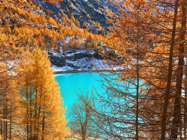
La Via degli Dei, Italy
‘La Via degli Dei’ – The Path of the Gods is one of the most well-renowned thru-hikes in Italy. This hiking trail stretches for approximately 130 kilometres, connecting the vibrant city of Bologna to the Renaissance gem, Florence and it crosses all the Appenini 🏞️
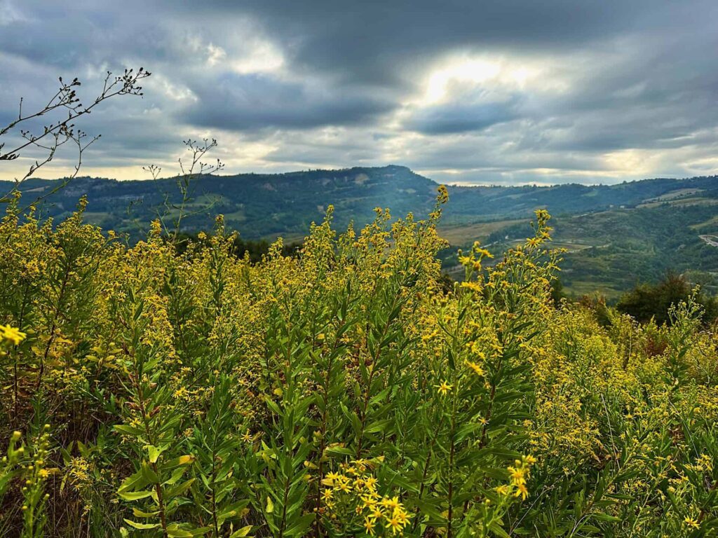
This hike will immerse you in the heart of Italy’s landscape. La Via degli Dei is full of history as it is steeped in ancient traditions and traces its roots back to the time of the Romans. At the heart of this historical trail lies the remnants of an ancient Roman road known as the “Flaminia Militare.” Built by the Romans in 187 BC, this road was a vital artery connecting the cities of Bologna (Bononia) and Florence (Florentia). It served as a crucial link for trade, commerce, and the movement of troops, allowing the Roman Empire to exert its influence over the region. And you will walk on it!
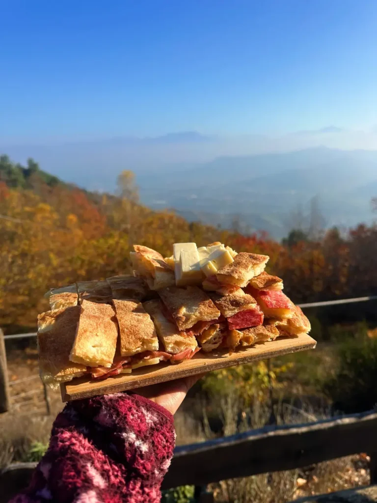
Big plus? The food is unbelievable! All the Italian food is good, but IMO Emilia Romagna and Tuscany are on another level 🤤
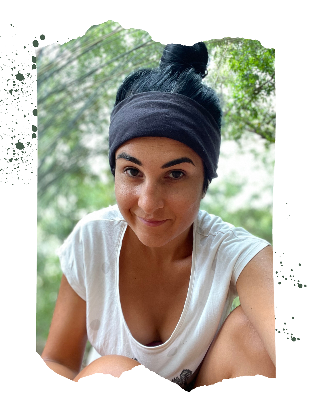
Catch you outside,
Elena
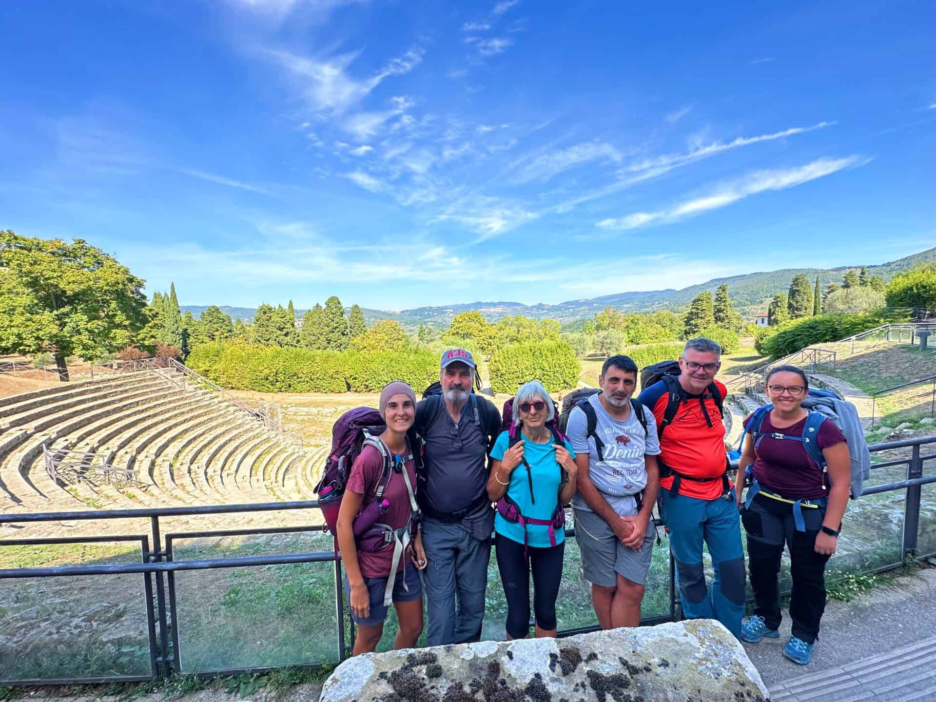
PS: this hike is for every one! I have walked it with my parents (65 and 69yo) and they had no issues, but make sure to be well prepared for any emergency.
DAY 1 | Bologna to Brento
- Walking Track: 31km
- Elevation Gain: 1079+m
- Descendent: 696+m
- Difficulty: Moderate
- Average Moving Time: 8-9h
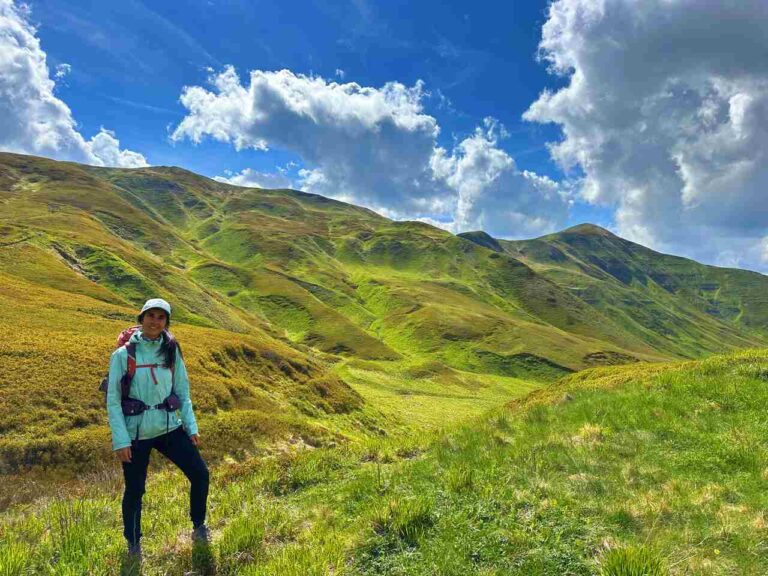
Day 1 was the longest day on this track and probably the most tiering, as it has a lot of elevation gain.
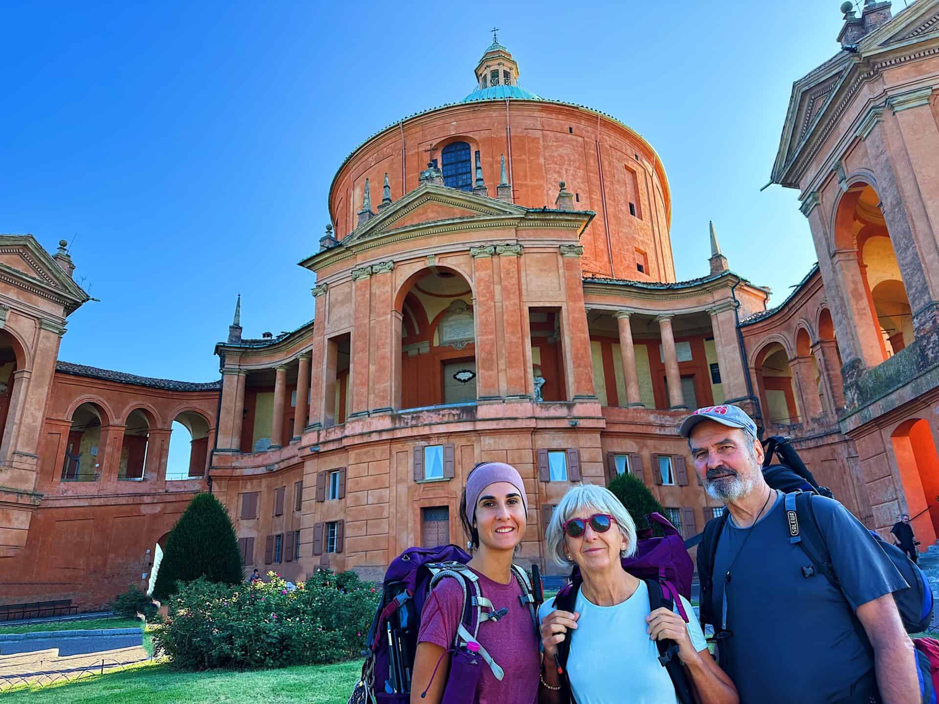
Infact it starts with a long and steep walk to the Santuario di San Luca under a long portico, it has 666 arches but it has an amazing view on the city of Bologna, Which by the way is one of my fav cities in Italy. So spend 1 or 2 days exploring the city if you haven’t visited yet!
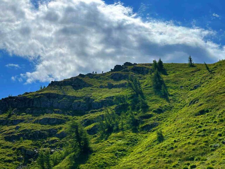
Just before Brento you will climb Monte Adone. Which has a breathtaking view on the surroundings.
In Brento my parents and I, stayed at BnB ai piedi del Monte Adone and it was ok, nothing special, but most of the other places were already fully booked.
We had the best meal at the Vecchia Trattoria Monte Adone , so it is a must STOP! You will thank me for this tip!
DAY 2 | Brento To Madonna dei Fornelli
- Walking Track: 22.21km
- Elevation Gain: 947+m
- Difficulty: Easy to medium
- Average Moving Time: 6-7h
As you leave Brento you will go through rolling hills and forests.
This section probably was the one I liked less, but if you trust me an you will stay and have dinner at the BnB Dai Romani, I promise you, you will fall in love with the history of this trail.
Elisa, the owner is one of the best people I have met on the track, she is so passionate about this track and she is an amazing storyteller. During dinner she will tell you all about this hike and how it was discovered (which by the way is an amazing story of resilience and full of meaning).
An immense love for her region that she promotes by offering local products on her table… you can tell it is not just business for her, but it is passion.
I have definitely stayed in better places along the way, but the whole experience it made the place magical.
DAY 3 | Madonna dei Fornelli to Monte di Fo'
- Walking Track: 15.5km
- Elevation Gain: 1690+m
- Difficulty: Medium to hard
- Average Moving Time: 13h
- My Moving Time: 8h
If you are into history this section will make you fall in love with this hike.
You will walk on the very road that was built by the Romans in 187 B.C, the well known “Via Flaminia”. Most of the trail is into dense forests, offering a cool and shaded environment especially in warmer months.
This section is probably one of the best of the entire track and you will cross the border between Emilia Romagna and Tuscany
We have stayed at the Camping il Sergente and we had dinner at Hotel il Sergente, where they offer il “menù del pellegrino” a discounted meal for hikers.
DAY 4 | Monte di Fo' to San Pietro a Sieve
- Walking Track: 25.3km
- Elevation Gain: 734+m
- Difficulty: Easy to medium
- Average Moving Time: 7-8h
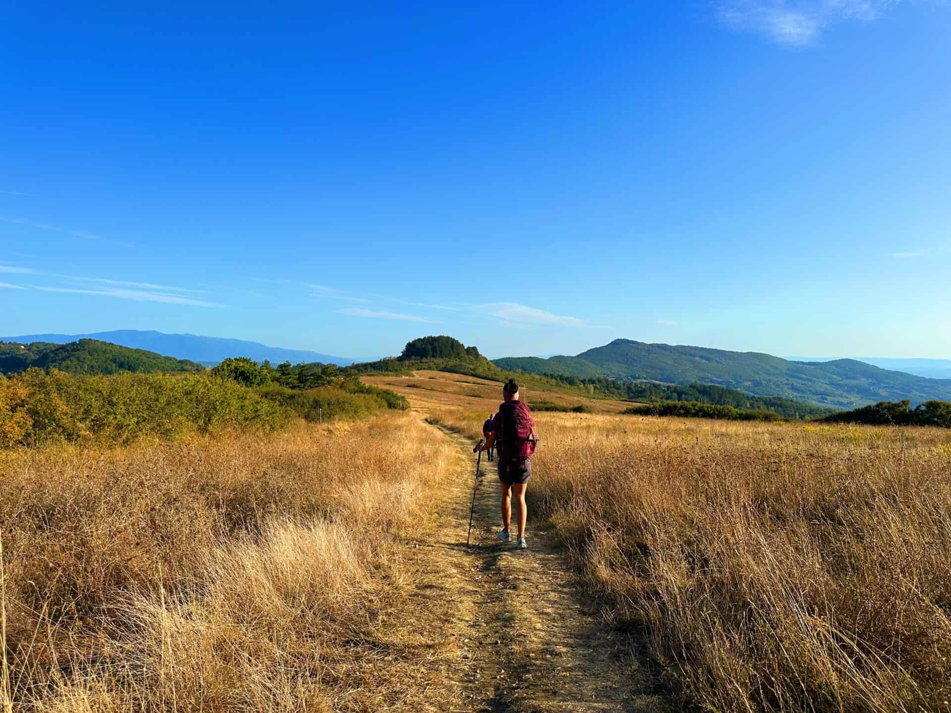
Day 4 was another long day on the track, but this section of the trail leads you through a combination of rolling hills and valleys. The terrain becomes less steep, making for a more relaxed and pleasant walk. You will still get lots of panoramic views of the Appennine landscape.
We spent the night at the Affittacamere degli Dei, which is a cosy house, brekkie is included but it is very basic. I will also recommend to stop at Forno Conti Giuliano to get your lunch, you won’t regret it!
DAY 5 | San Pietro a Sieve to Olmo
- Walking Track: 19.4km
- Elevation Gain: 734+m
- Difficulty: Easy to medium
- Average Moving Time: 5-6h
This part of the trail typically features a more gentle terrain compared to some of the earlier stages. While there may still be some ascents and descents, the overall difficulty is moderate.
You will pass by Monte Scenario and his monastery, which is worth a stop. It is actually the best place to rest and have lunch.
We have spent the night in Olmo, at Hotel Dino, the most expensive stay during the whole trail, but the quality is really high, as it is a proper hotel.
DAY 6 | Olmo to Florence
- Walking Track: 18km
- Elevation Gain: 395+m
- Difficulty: Easy
- Average Moving Time: 5-6h
The views of Florence are from everywhere, and it is incredible how from so far you can clearly spot the majesty of the cathedral Santa Maria del Fiore.
This section tho is pretty downhill and on roads, as we are approaching the city.
Many other infos can be found in my IG GUIDE, but If you would like me to help you organizing the Via degli Dei please book the Italy Hike consultation below 🙂
Catch You Outside,
Elena
Frequently Asked Questions
Dog allowed?
Yes, You can take your puppy… but only if you collect their 💩!!
Where to sleep? Tent?
- Not many accommodations along the Alta Via, so plan to stay in B&Bs or hotels in coastal villages.
- Book in advance, especially during peak seasons, as demand is high.
- If you stay up on the Alta Via there are plenty of places where you can set up a tent, but bear in mind that you need to think about water and food supplies
Difficulty
It doesn’t present any major challenge, but make sure you are happy with elevation gain
Credentials?
There are no credentials.
Best months to hike it?
- The mild climate makes the Alta Via suitable for year-round hiking, but would avoid July and August. (I did it in August and it was way too hot).
- As usual, check weather forecasts for safety, avoiding the trail during heavy rain or strong winds.
What to bring?
- Wear sturdy, comfortable hiking shoes suitable for various terrains. It is not a walk in the park and is more challenging than expected.
- Carry trekking poles for stability.
Trail waymarking
- Marked trail with signage, but it could be improved.
- Especially if you don’t speak Italian, I would recommend having a gpx map with you.
Planning Information
Cinque Terre and sourroundigs areas can get packed and fully booked quite in advance. So make sure you book your stays and plan the whole hike in advance.
Getting there & Away
Few options:
- I recommend starting in Levanto, which is accessible by train from La Spezia or Milan. Trains are the most practical mode of transportation between Cinque Terre villages.
- If you want to start from Porto Venere, then you need to get a bus 11/P from La Spezia
- If you travel by car consider leaving your car in Campiglia, a village midway between Portovenere and Telegrafo and then getting to the beginning of the trail (hitchhiking, hiking, booking a taxi in advance…)
Permits & Fees
No Permits required.
IMPORTANT: Pay close attention to the data contained in this description.
They may be incomplete or outdated. The paths may change over time due to bad weather, fires or simply the change of seasons. Check in the comments if anyone has made any reports or recommended any changes.
Do you still have a question?
"Discover Italy Like a Local" Consultation
I always try to write everything I can to give the best possible informations, but if you feel like you need a specific and tailored consultation, feel free to book a one-on-one consultation to address your concerns, answer your questions, and provide support throughout the planning process.❤️