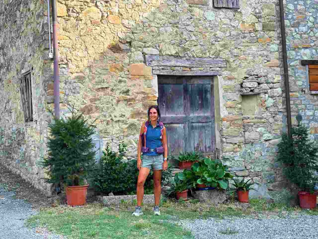
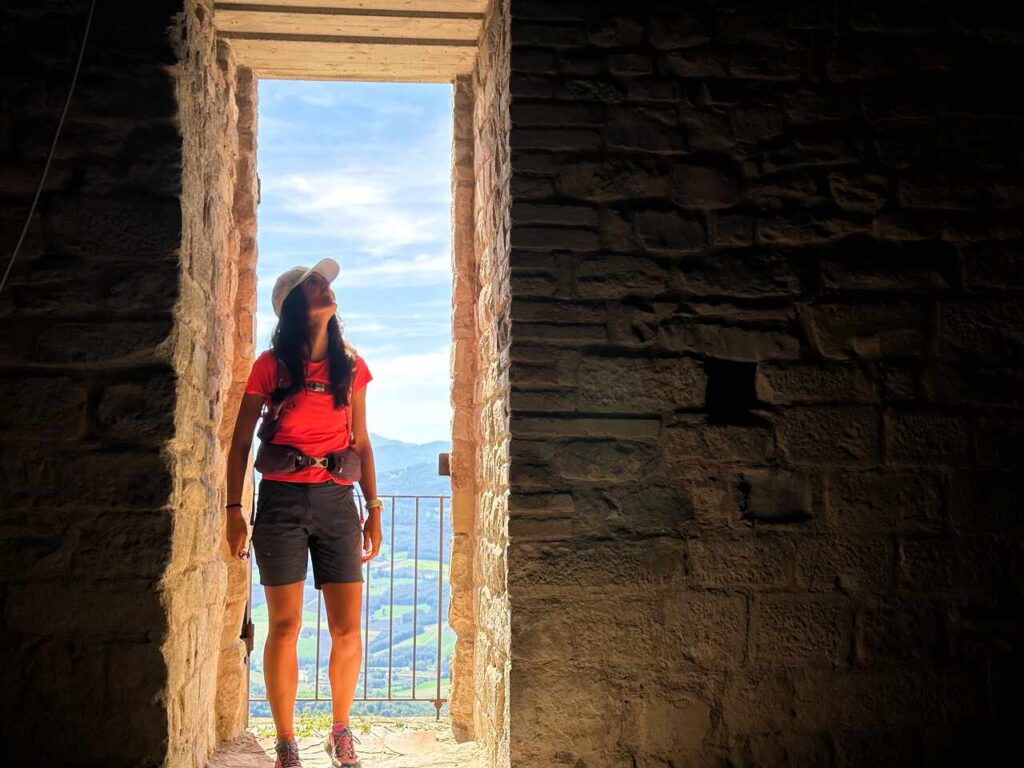
La Via Matildica del Volto Santo, Emilia Romagna, Italy
La Via Matildica del Volto Santo is a 285 km hike that connects Mantova to Lucca, crossing three regions (Lombardy, Emilia Romagna, and Tuscany).
Named after the powerful medieval noblewoman Matilda of Canossa, who played a pivotal role in shaping the region’s history, this path traverses Reggio Emilia, offering travellers a unique blend of spiritual and cultural exploration.
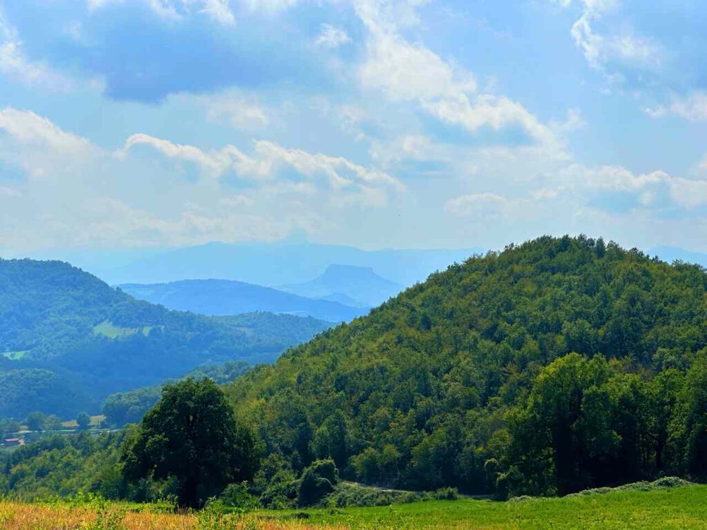
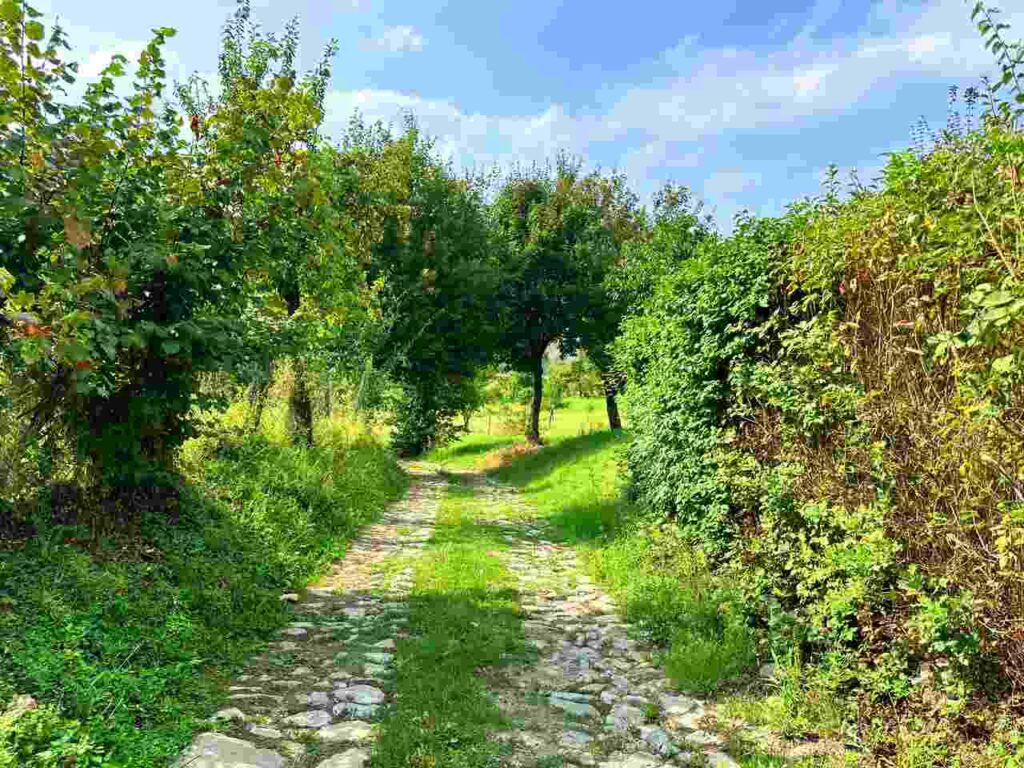
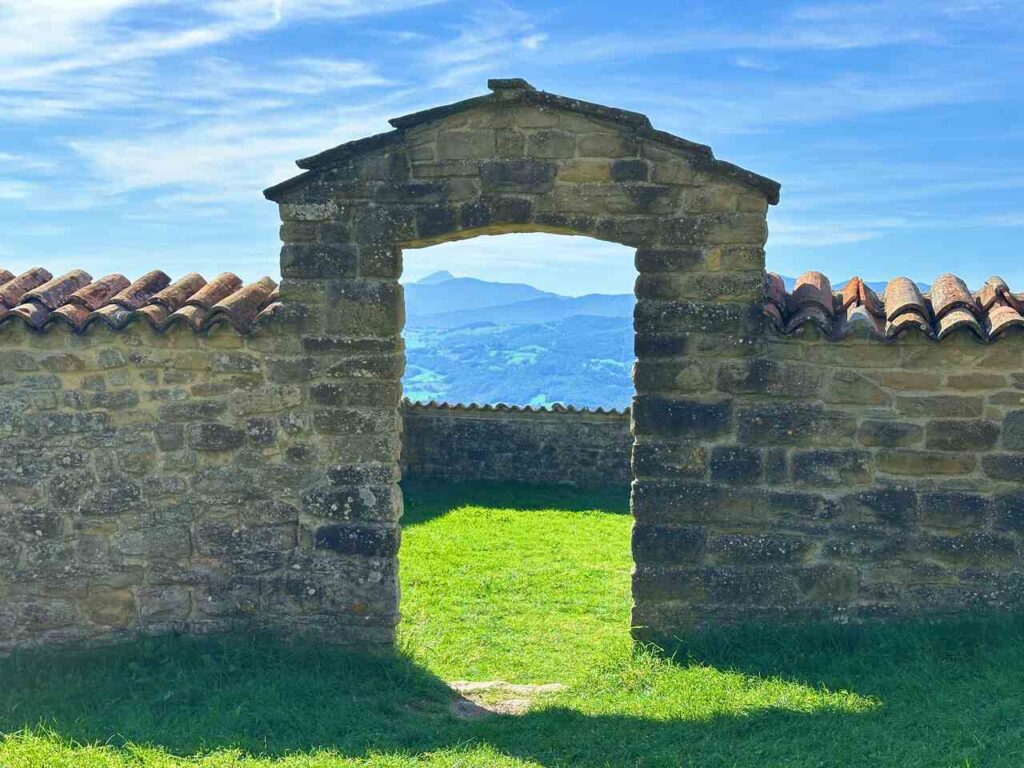
It passes through numerous medieval villages, castles, and untouched valleys, offering breathtaking views and a rare sense of remoteness that’s hard to find in Italy.
Whether you hike the entire route or tackle a few stages, it’s accessible via public transport and private taxis. Though I’ve only managed a section of it myself, I recommend experiencing the entire trail if you have the time.
Catch you outside,
Elena
- Where: Emilia Romagna
- Multi Day Hike
- Distance: 115km
- Average Duration: 5 days
- Difficulty Level: Easy to Medium
- Total Elevation Gain: 4600m
- Point to Point
- Start/Finish: Reggio Emilia to San Pellegrino in Alpe
Who is this hike for?
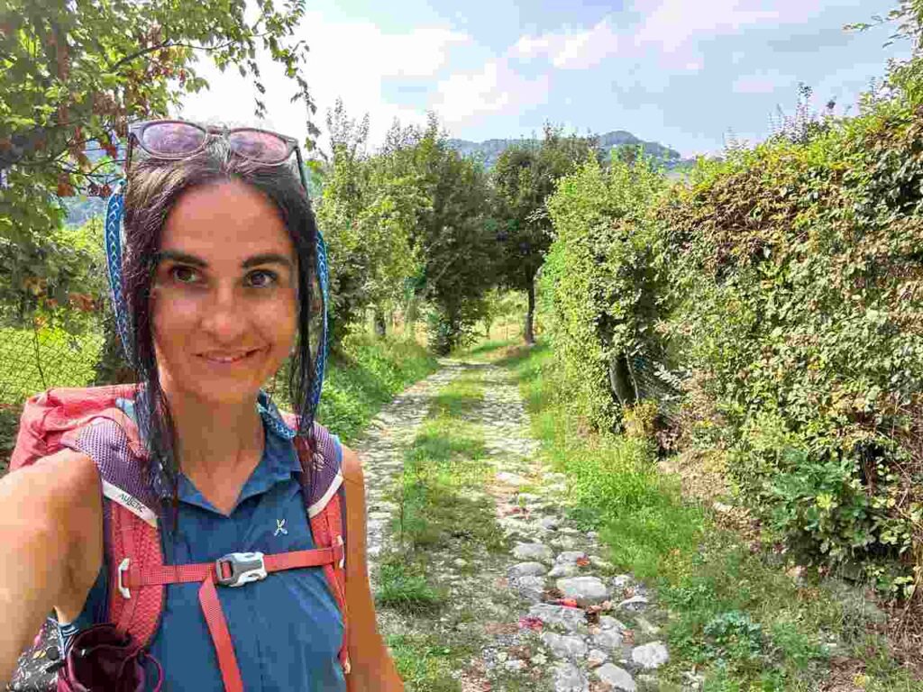
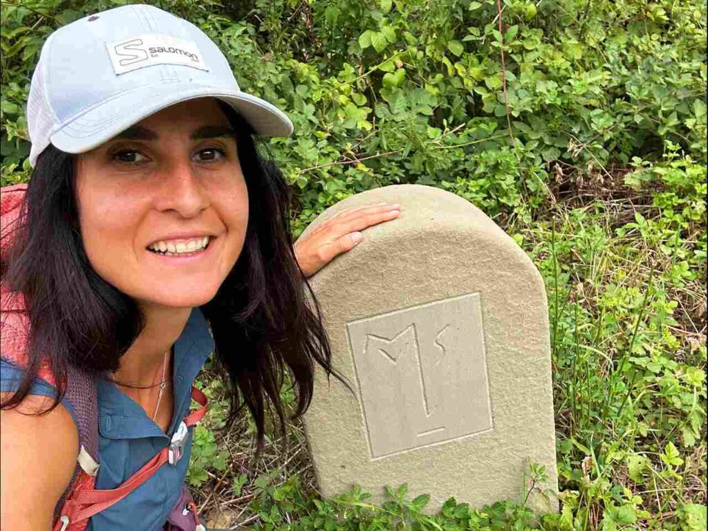
This hike is best suited for those with a good fitness level. While the days can be long and can involve significant elevation gain, the trail is not technical. It’s well-marked but if you don’t speak the language, having GPX traces is essential. As always, be well-prepared for emergencies.
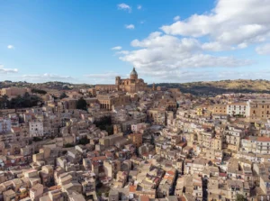
Reggio Emilia
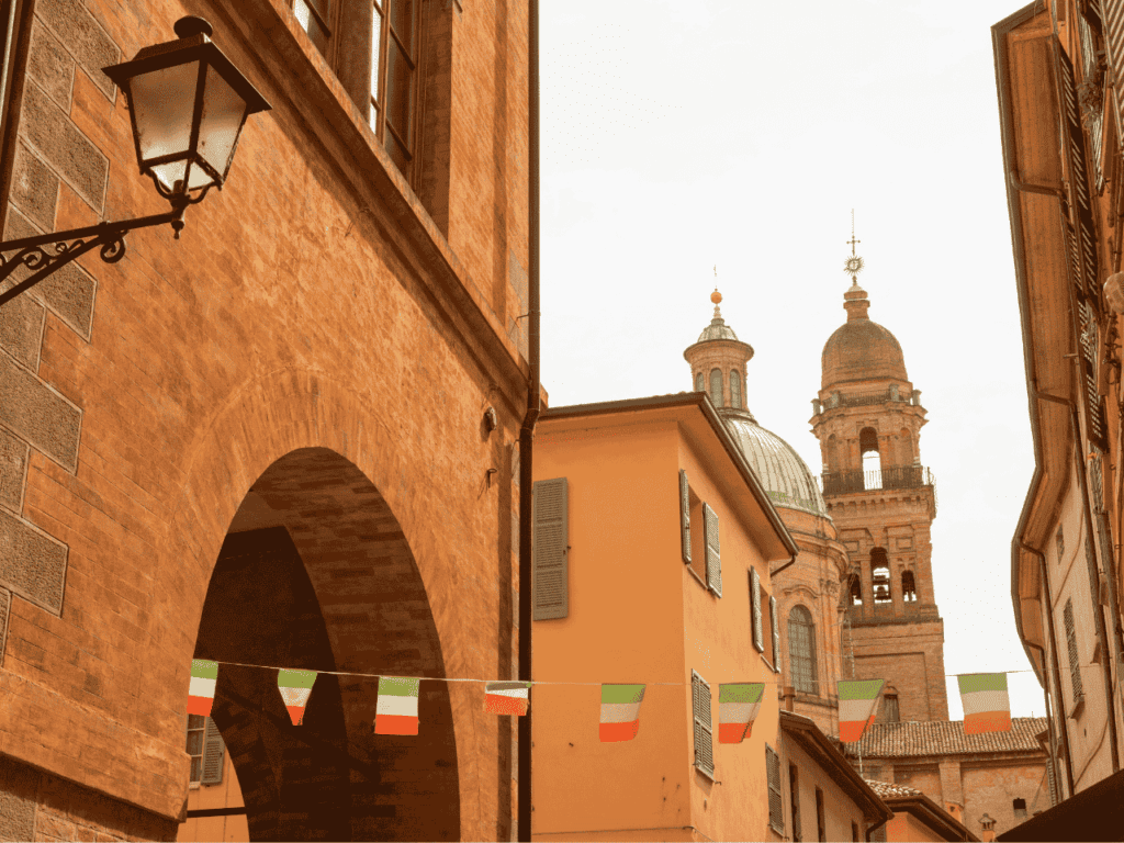
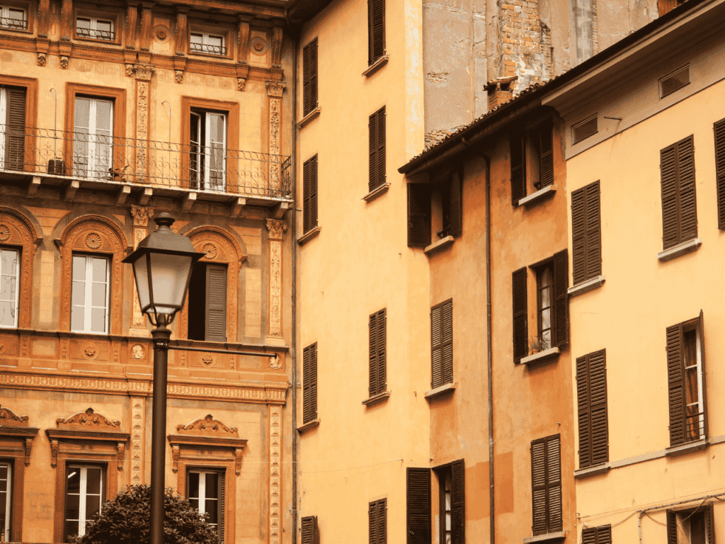
Make sure to arrive a day early to visit Reggio Emilia (must-visit in RE). Despite being a lesser-known tourist destination than her sisters Modena and Bologna, Reggio Emilia blends history and contemporary culture, and centuries-old streets lead to futuristic architecture that is well-known worldwide.
If you are looking for an authentic experience of Italian local life (which also means it is much more affordable), Reggio Emilia is your town!
Day 1 | Reggio Emilia to Canossa
- Distance: 26.7km
- Elevation Gain: 806m
- Average Duration: 6-8h
- Difficulty level: Easy to Medium
- Start/Finish: Reggio Emilia to Canossa
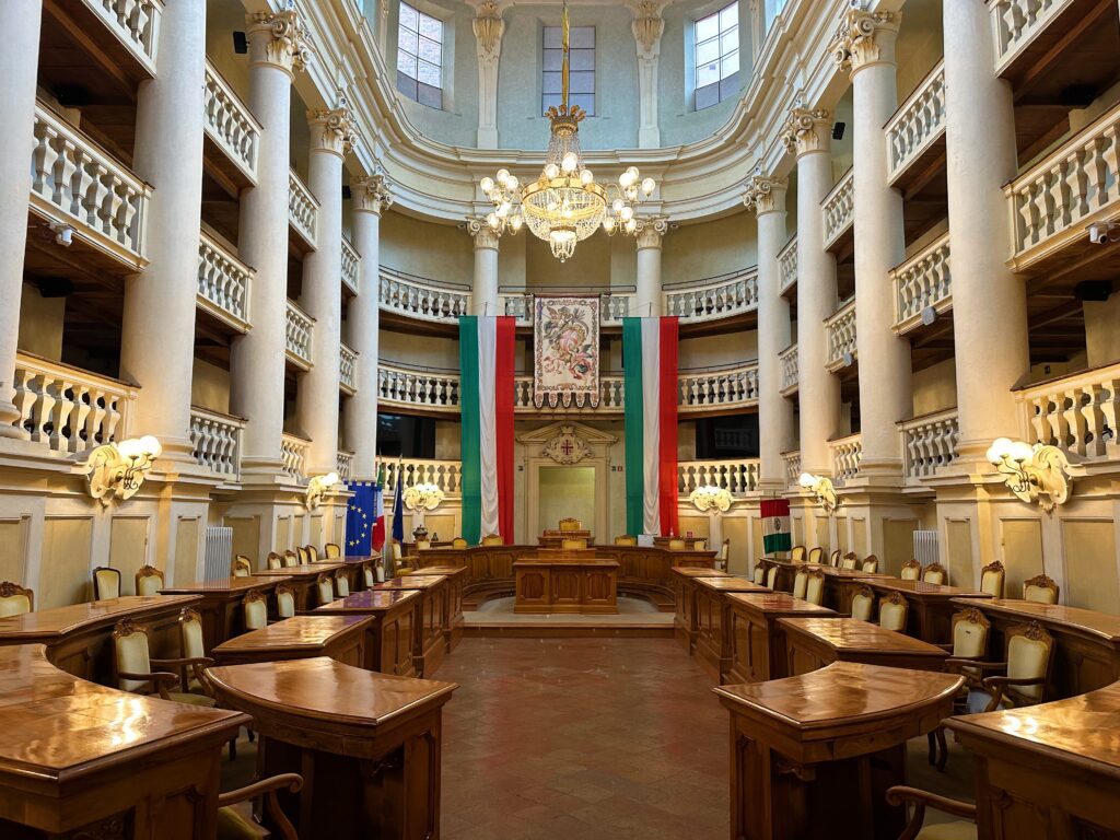
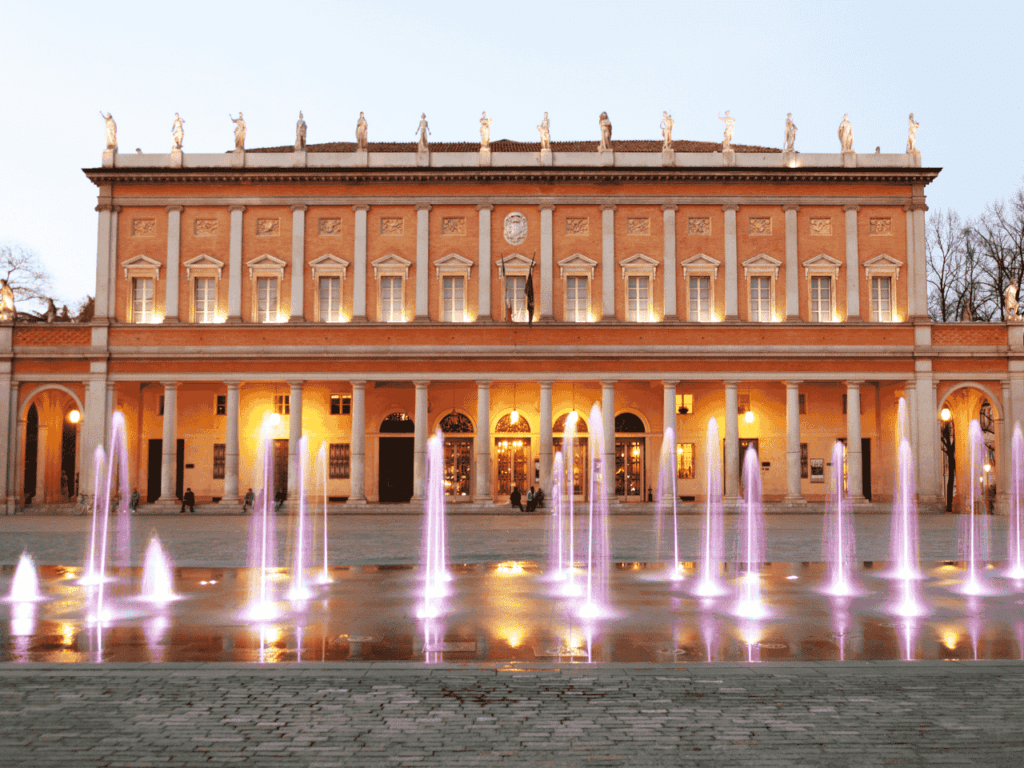
This section of la Via Matildica del Volto Santo begins in the heart of Reggio Emilia, a city famous as the birthplace of the Italian tricolore flag. Before setting out on this historic pilgrimage route, stop at the Sala del Tricolore, where the Italian flag was officially adopted in 1797. Starting your walk here connects the journey not only to medieval history but also to Italy’s national identity.
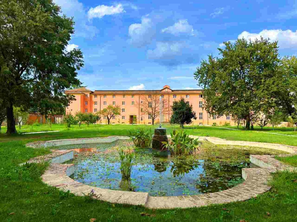
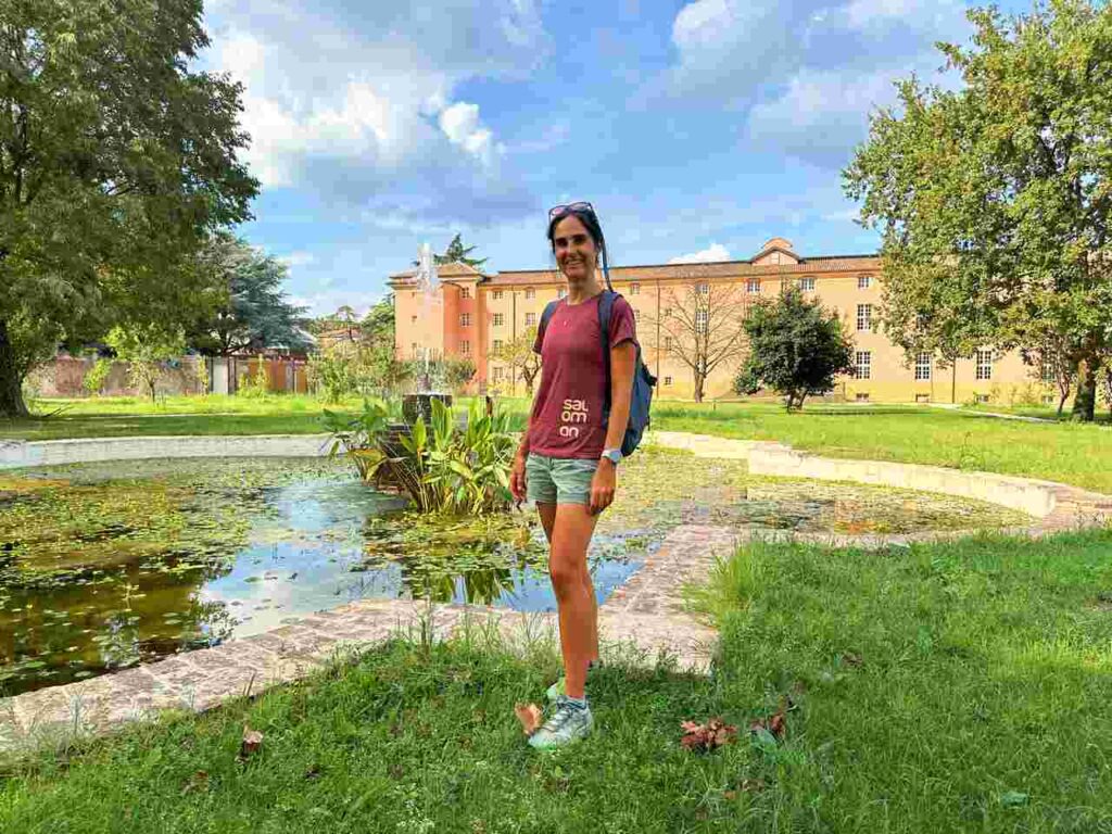
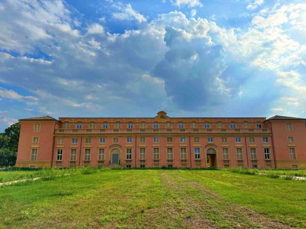
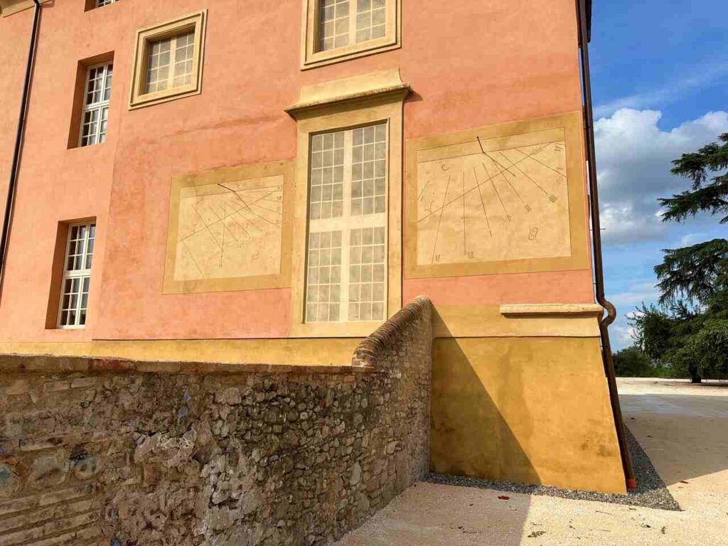
Leaving the city behind, the trail heads toward the countryside and the fascinating ruins of the Reggia di Rivalta, once called the “Little Versailles.” Built in 1723 for the Este family, it hosted lavish 18th-century festivities before being damaged by Napoleon’s troops. Today, the south wing, the chapel, and remnants of the gardens remain, offering a glimpse into the grandeur of the past.
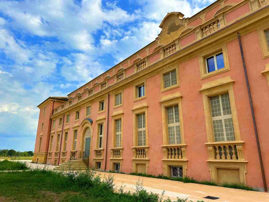
A little further along stands Villa d’Este, another estate of the Este dynasty, known for their patronage of Renaissance culture and music. These sites remind walkers that this is not only a hiking trail but also a cultural journey through centuries of Italian history.
From here, the landscape gradually shifts from plains to hills, leading you into the northern Apennines of Emilia Romagna. Along the way, you pass through charming villages and hamlets such as Puianello and Quattro Castella, both linked to Matilda of Canossa’s rule. Quattro Castella is still famous for its medieval reenactments that celebrate her power and influence.
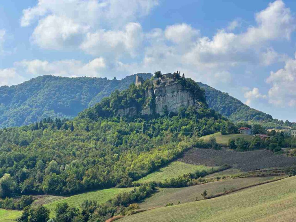
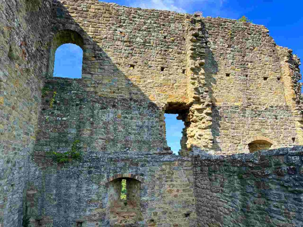
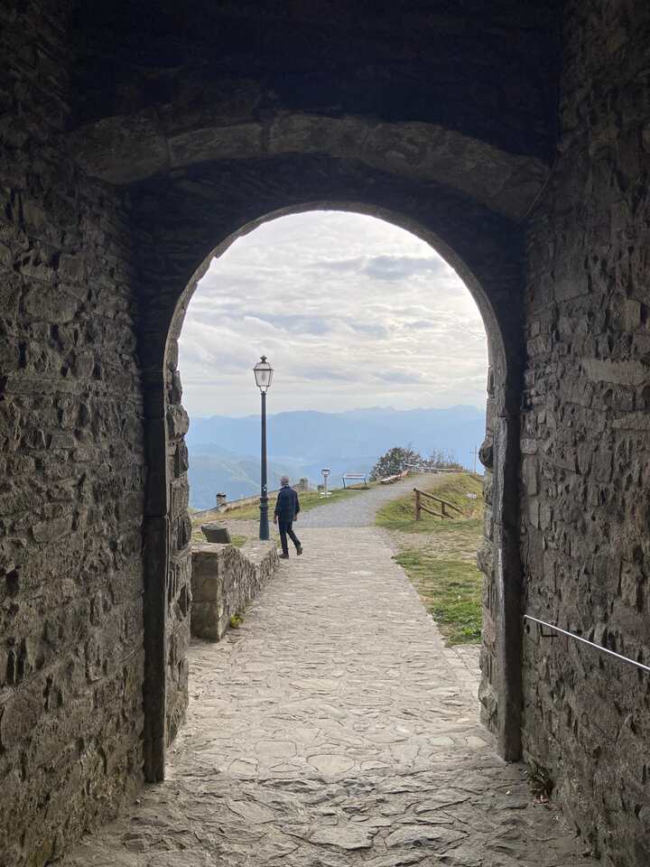
The highlight of the day is reaching the legendary Canossa Castle. Perched dramatically on a rocky spur, the fortress is one of the most symbolic sites in European history. In 1077, Emperor Henry IV made his famous “Humiliation of Canossa” here, standing barefoot in the snow for three days to seek forgiveness from Pope Gregory VII. This dramatic episode during the Investiture Controversy established Canossa as a symbol of reconciliation and power struggles between Church and Empire.
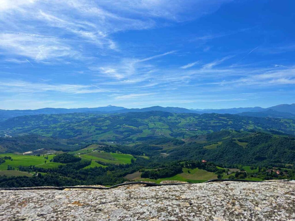
Although the castle is now in ruins, its atmosphere is unforgettable. From the top, you enjoy panoramic views of the Apennine valleys, while the small museum tells the story of Matilda of Canossa, one of the most powerful women of the Middle Ages.
The Reggio Emilia to Canossa stage is the perfect introduction to the Via Matildica del Volto Santo: a long but rewarding walk through cultural landmarks, medieval history, and natural beauty, culminating at one of the most iconic castles in Italy.
Day 2 | Canossa to Carpineti
- Distance: 28.2 km
- Elevation Gain: 1014m
- Average Duration: 8-9h
- Difficulty level: Medium
- Start/Finish: Canossa - Carpineti
You begin the day by leaving the imposing Canossa Castle, one of the most symbolic sites in medieval Europe. It was here, in 1077, that Emperor Henry IV met Pope Gregory VII during the Investiture Controversy—the famous “Humiliation of Canossa.” Matilda of Canossa played a central role in this dramatic episode, hosting the encounter in her fortress and shaping the balance of power between the papacy and the Holy Roman Empire. Starting your walk here feels like stepping directly into a page of history.
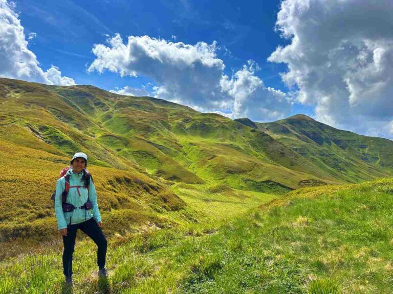
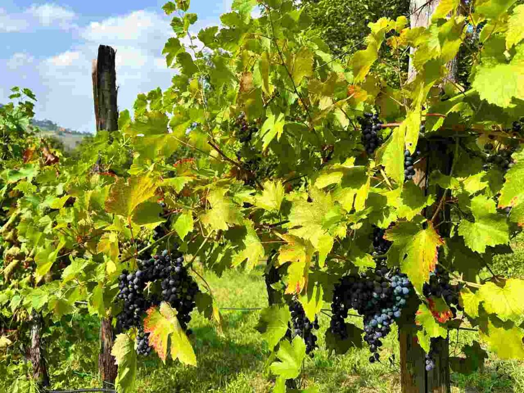
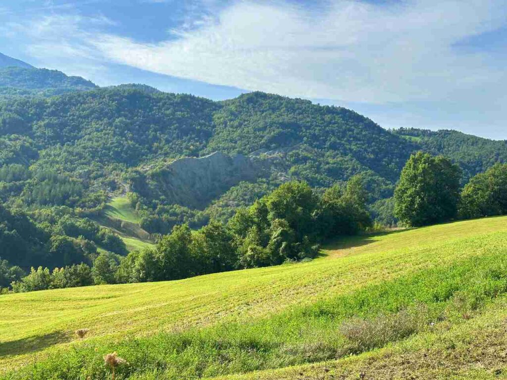
From Canossa, the trail descends into a landscape of rolling hills, farmland, and medieval villages. Fields of wheat, vineyards, and olive groves create a mosaic of colors, while quiet rural paths allow for a meditative rhythm.
One of the highlights is the tiny village of Bergogno, a jewel of the Apennines where only about 25 people live year-round. Walking through its cobbled alleys feels like entering a time capsule. If you’re lucky, you might catch local traditions such as the quirky Polenta in Carriola festival (“polenta in a wheelbarrow”), when the whole community gathers to celebrate food and heritage in true Emilian style.
Other small hamlets along the way—such as Cerezzola or Viano—offer glimpses of stone houses, Romanesque churches, and rustic farmsteads. These are excellent places to pause, refill water, or simply enjoy the atmosphere of slow Emilia Romagna.
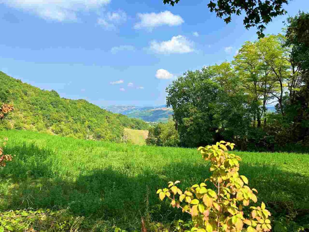
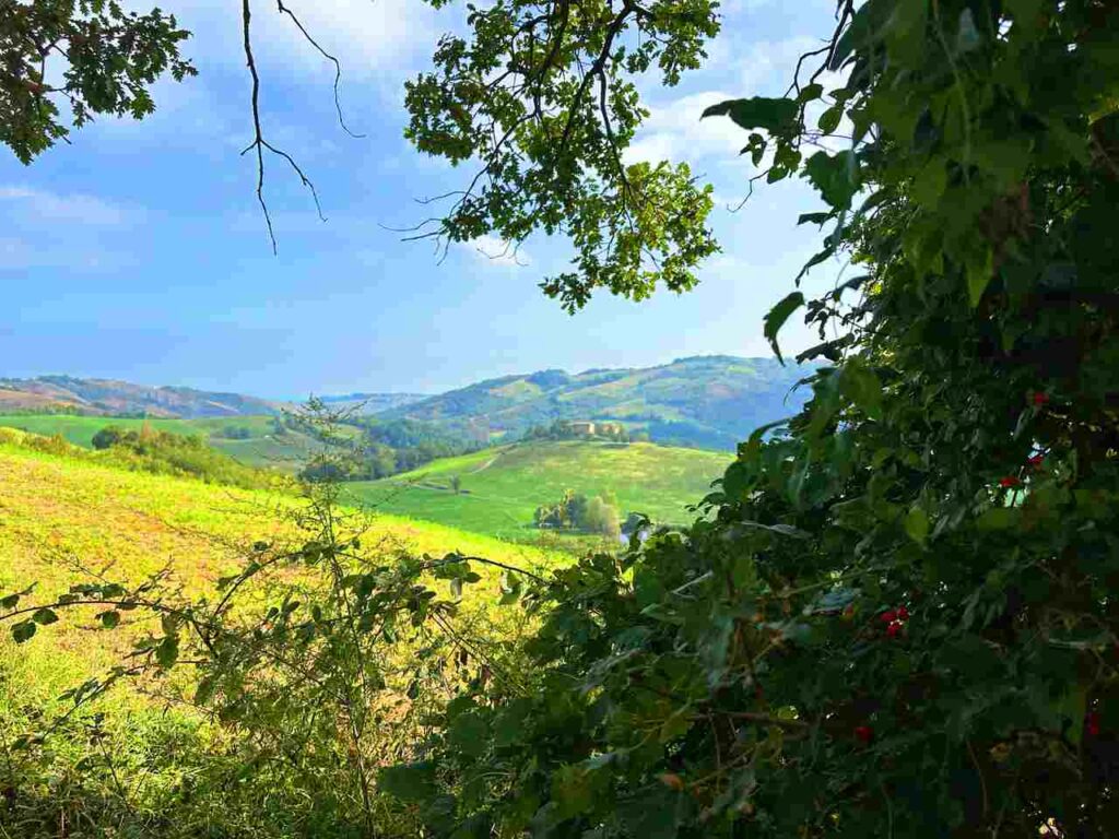
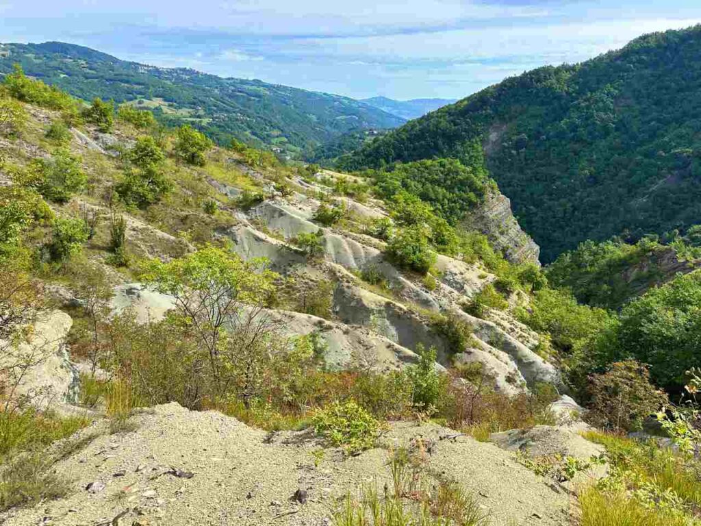
As you approach the Apennine mountains, the terrain becomes hillier, the air fresher, and the landscapes more dramatic. Meadows and chestnut forests alternate with open ridges that reveal sweeping panoramas.
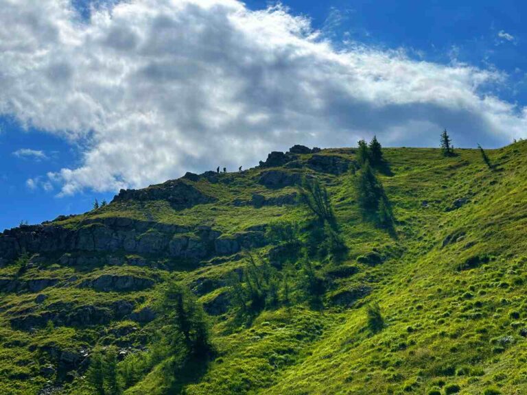
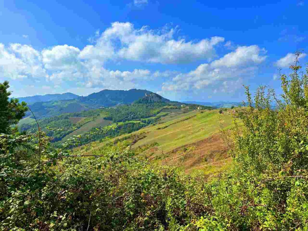
The stage culminates with the climb toward the Castello di Carpineti, perched proudly on a ridge at 800 meters. Like Canossa, this fortress was one of Matilda’s strategic strongholds. Its position allowed control over the valleys below and safe passage across the Apennines. From the top, you’ll be rewarded with breathtaking views stretching from the Po Valley to the higher peaks of the Apennines. On clear days, the Alps can even be glimpsed in the distance.
The Canossa to Carpineti hike is one of the most rewarding sections of the Via Matildica del Volto Santo, blending epic medieval history with rural Emilia Romagna landscapes. It’s a stage where every step connects you deeper to Matilda’s legacy, the beauty of the Apennines, and the timeless rhythm of small Italian villages.
Day 3 | Carpineti to Toano

- Distance: 19.3km
- Elevation Gain: 890m
- Average Duration: 6-7h
- Difficulty level: Easy to Medium
- Start/Finish: Carpineti to Toano
This stage of the Via Matildica del Volto Santo takes you from the fortress of Carpineti into the heart of the Reggiano Apennines, blending medieval history with serene rural landscapes.
Castello di Carpineti
The day begins with a climb to the impressive Castello di Carpineti, one of the key strongholds of Matilda of Canossa. Strategically positioned on a ridge at nearly 800 meters, the castle dominated the valleys below, ensuring control of both military routes and local territories. From its ramparts, you enjoy panoramic views of the Secchia Valley, the Po Plain, and on clear days even the Alps. Exploring the castle ruins and its restored sections offers a powerful sense of connection to the medieval world.
From the castle, the trail descends gently toward the Secchia River, one of the main waterways of Emilia Romagna. The scenery here shifts to peaceful farmlands, chestnut groves, and vineyards, offering a softer rhythm after the castle climb. Small hamlets with stone houses and rustic chapels dot the landscape, giving you a glimpse into traditional rural life. This part of the route is especially beautiful in autumn, when vineyards and forests ignite with warm colors.
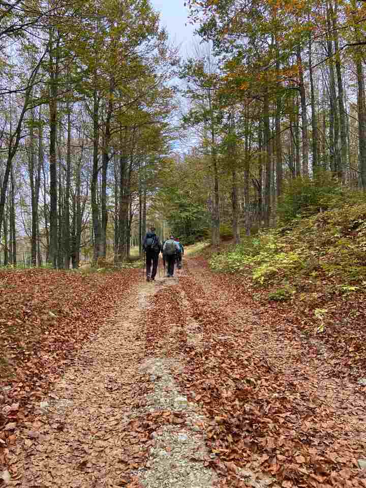
After crossing the Secchia, the path begins to climb again, taking you deeper into the Apennine Mountains. The landscape becomes wilder and more remote, with forested ridges and meadows opening to wide views of the surrounding valleys. The ascent is steady but not overly difficult, making it a pleasant hike for walkers of all levels.
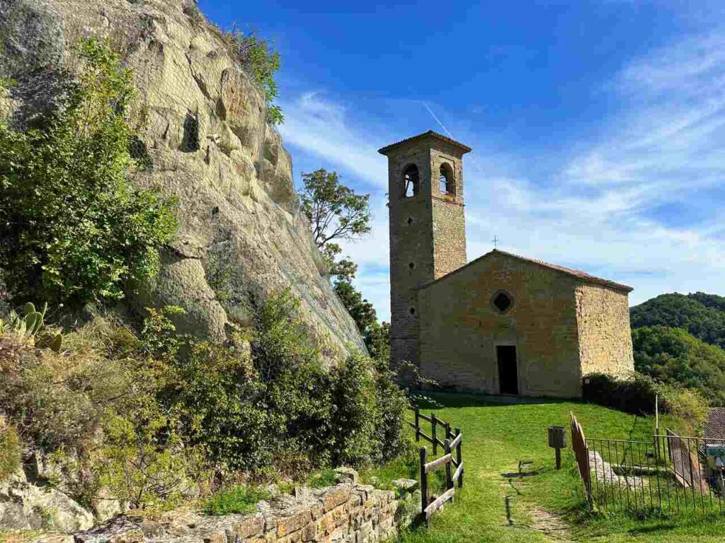
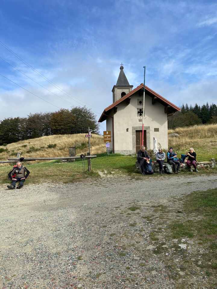
The stage culminates in the village of Toano, a quiet mountain settlement with strong medieval roots. Its main jewel is the Pieve di Santa Maria di Castello, one of the most important Romanesque churches in Emilia Romagna. Dating back to the 11th century, the pieve (parish church) is built entirely of stone and sits on a panoramic hilltop. Inside, you’ll find ancient capitals, sculptures, and a layout that has remained remarkably intact for over a thousand years. The church’s endurance and spiritual significance make it a fitting conclusion to this stage of the Via Matildica.
The Carpineti to Toano hike is a stage where history meets nature: from the medieval Castello di Carpineti to the timeless Pieve di Santa Maria, every step connects you to the spiritual and cultural heritage of Emilia Romagna.
Day 4 | Toano to Gazzano
- Distance: 18.6km
- Elevation Gain: 763m
- Average Duration: 6-7h
- Difficulty level: Easy to Medium
- Start/Finish: Toano to Gazzano
From Toano, where the thousand-year-old Pieve di Santa Maria di Castello watches over the valley. After visiting this remarkable Romanesque church, you leave the village behind and begin a gentle ascent into the foothills of the Apennines.
The trail winds through mixed woodlands of chestnut, oak, and beech, interspersed with open meadows that glow with wildflowers in spring and early summer. On clear days, the path reveals wide views of rolling hills and distant mountain peaks, reminding walkers of the gradual transition from Emilia’s lowlands to the high Apennines. The atmosphere here is calm and meditative, making this stage ideal for those seeking both physical movement and a deeper connection with nature.
Along the way, you’ll encounter ancient farmhouses, small chapels, and scattered hamlets, many of which still reflect the traditional rural life of the Reggiano Apennines. Farmers have cultivated these lands for centuries, and you may pass fields of potatoes, small vineyards, or chestnut groves. This stage gives a true taste of slow Emilia Romagna, where time seems to move at a gentler pace.
The route eventually begins to descend toward Gazzano, a picturesque mountain village surrounded by green pastures and forested ridges. Despite its small size, Gazzano offers stunning views of the Apennine range, especially at sunset when the surrounding peaks glow with golden light. The village is also known for its stone architecture and alpine atmosphere, making it a welcoming stop for weary walkers.
The Toano to Gazzano hike may not have dramatic castles or monumental churches, but it rewards walkers with immersion in natural beauty, mountain tranquility, and authentic Apennine culture. It’s a stage that highlights the quiet, spiritual essence of the Via Matildica del Volto Santo.
Day 5 | Gazzano to San Pellegrino in Alpe
- Distance: 22.4km
- Elevation Gain: 1099m
- Average Duration: 9h
- Difficulty level: Medium
- Start/Finish: Gazzano to San Pellgrino in Alpe
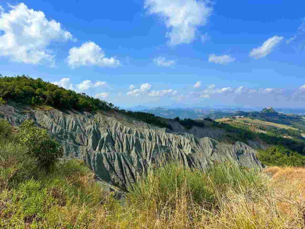
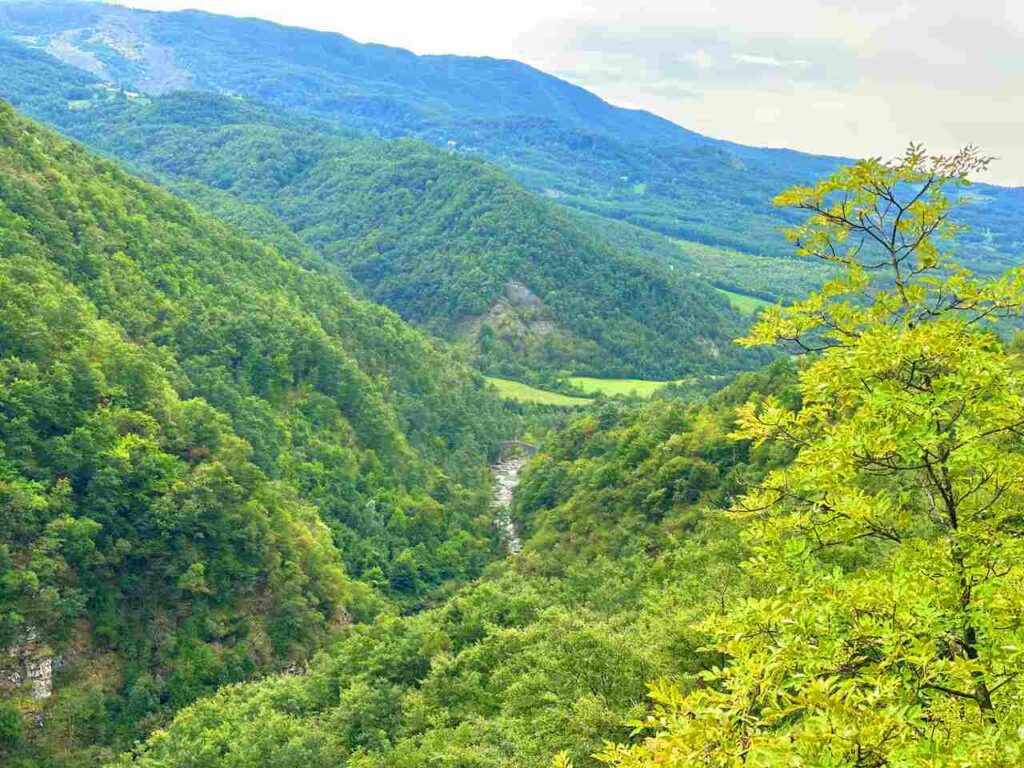
This is one of the most demanding and scenic stages of the Via Matildica del Volto Santo, taking you deep into the Apennines and across the natural border between Emilia Romagna and Tuscany.
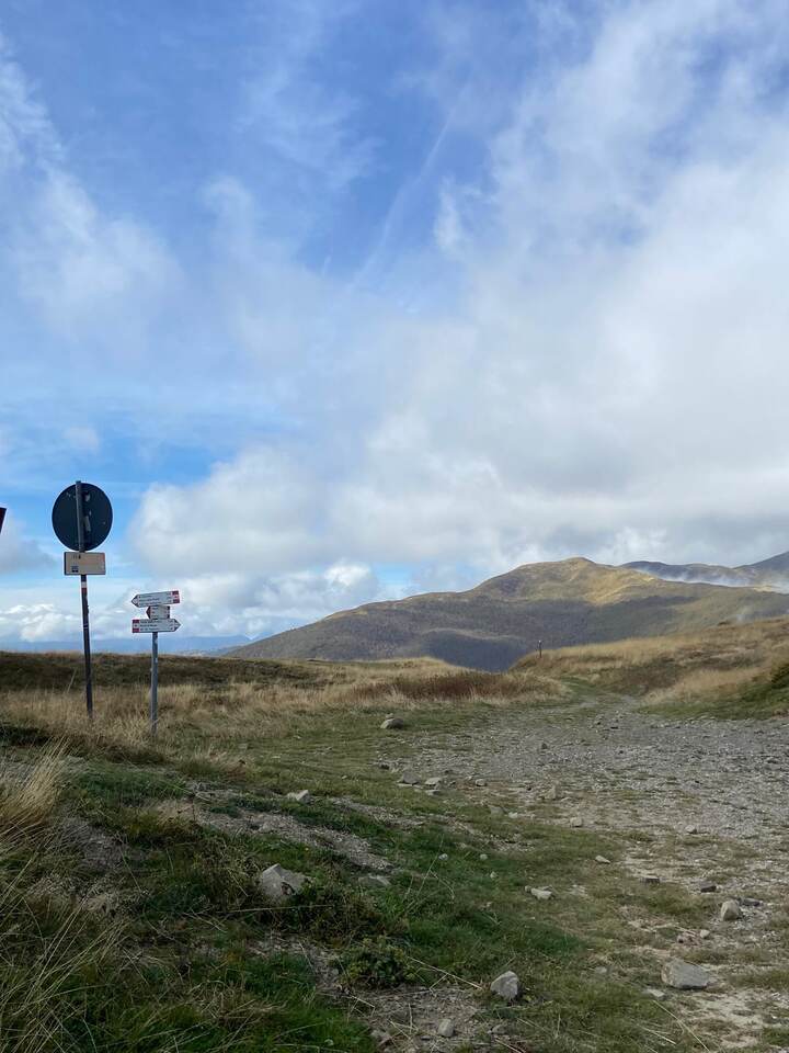
Leaving the village of Gazzano, the trail immediately begins to climb, and the landscape quickly becomes more rugged and remote. The path winds through dense beech and fir forests, where silence is broken only by birdsong and the sound of mountain streams. The climbs are steeper than in previous stages, but each ascent rewards you with spectacular openings onto valleys, ridgelines, and distant mountain peaks.
On clear days, the views stretch across the Apennine chain, offering glimpses of both the Tuscan and Emilian sides. This section gives hikers a true sense of wilderness and solitude, making it one of the most memorable experiences on the Via Matildica.
The combination of long distance, steep gradients, and higher altitude makes this stage more challenging, but the physical effort is balanced by the emotional reward: walking through some of the most untouched landscapes of the northern Apennines. It’s a stage where you can fully disconnect, reflect, and immerse yourself in nature.
The stage culminates in the mountain village of San Pellegrino in Alpe, perched at over 1,525 meters, making it the highest permanently inhabited village in the entire Apennine range.
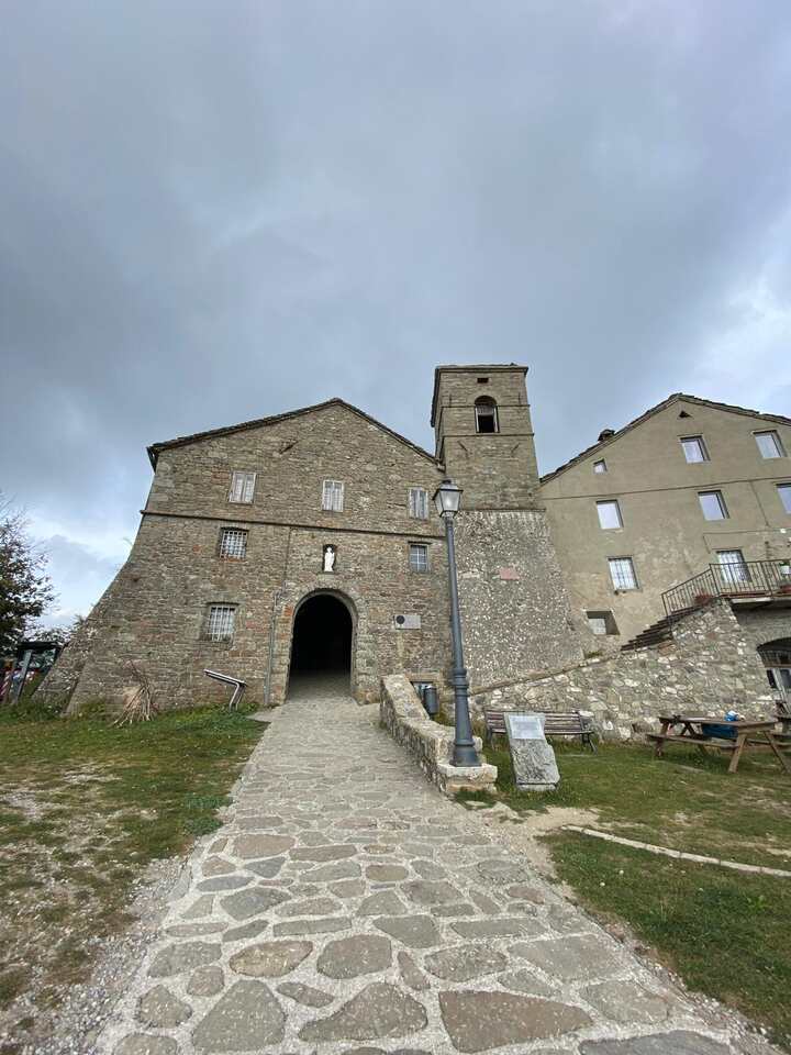
Here stands the San Pellegrino Sanctuary, a pilgrimage site since the Middle Ages. According to tradition, it houses the relics of Saint Pellegrino, a hermit revered for his life of faith and simplicity. For centuries, pilgrims traveling between Tuscany and Emilia stopped here to rest, pray, and seek protection before crossing the mountains. The sanctuary still preserves its medieval character, with stone walls, sacred relics, and a unique atmosphere of spiritual serenity.
From the sanctuary and surrounding viewpoints, you are rewarded with panoramic views across Emilia and Tuscany, an unforgettable way to mark the end of the Emilia Romagna section of the Via Matildica del Volto Santo.
The Gazzano to San Pellegrino in Alpe hike is the perfect conclusion to the Emilia Romagna portion of the Via Matildica del Volto Santo: a stage where natural beauty, physical challenge, and spiritual history come together at the very roof of the Apennines.
This journey along La Via Matildica del Volto Santo was truly unforgettable. It combines breathtaking landscapes with a rich tapestry of history. Suppose you’re seeking a trail to learn about Matilde di Canossa’s importance in Italy and Europe during the Middle Ages and to experience one of Italy’s best cuisines (IMO). In that case, this is a trail for you.
👇🏻Feel free to book a “Discover Italy like a Local” with me 👇🏻
Catch You Outside,
Elena
Frequently Asked Questions
Full hike infos
Find them here.
And you can send all your enquiries to [email protected]
Do you need an expert guide to accompany you?
I recommend using a guide, not to Find them here.
Dog allowed?
Yes, You can take your puppy… but only if you collect their 💩!!
Where to sleep? Tent?
On the way, there are B&Bs, farmhouses/agriturismo, room rentals, hostels, and some hotels and mountain huts/lodges. At https://www.viamatildica.it/en/, you can find suggestions for each stage.
You can do it with your tent, but remember you are close to towns and/or villages. You will also cross a national park, so you need to check the area’s requirements where you can camp.
Difficulty
Most of the sections are E; some sections are EE (experienced hikers), mostly because they are long days and have fair elevation gains).
Credentials?
YES! Asked them here
Best months to hike it?
- Spring, Autumn and Winter. In summer, it can be very hot, but still doable if you leave early in the morning and make sure you have plenty of water
- As usual, check weather forecasts for safety, avoiding the trail during heavy rain or strong winds.
What to bring?
- Wear sturdy, comfortable hiking shoes suitable for various terrains.
- Carry trekking poles for stability.
Trail waymarking
- Fairly well-marked trail; it could be improved.
- Have a Gpx map with you.
Planning Information
Options along the way if you want to shorten up the sections.
Getting there & Away
Few options:
- By car
- By Train to Reggio Emilia easily reached by anywhere in Italy
- By Bus from San Pellegrino in Alpe to Reggio Emilia
Permits & Fees
No Permits required.
IMPORTANT: Pay close attention to the data contained in this description.
They may be incomplete or outdated. The paths may change over time due to bad weather, fires or simply the change of seasons. Check in the comments if anyone has made any reports or recommended any changes.
Do you still have a question?
"Discover Italy Like a Local" Consultation
I always try to write everything I can to give the best possible informations, but if you feel like you need a specific and tailored consultation, feel free to book a one-on-one consultation to address your concerns, answer your questions, and provide support throughout the planning process.❤️