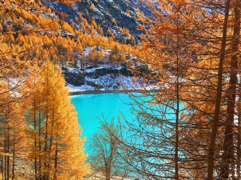
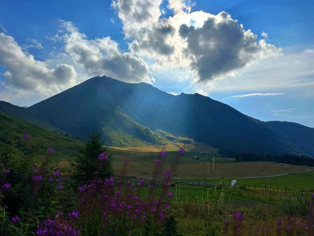
Le Strade dei Forti, Piedmont, Italy
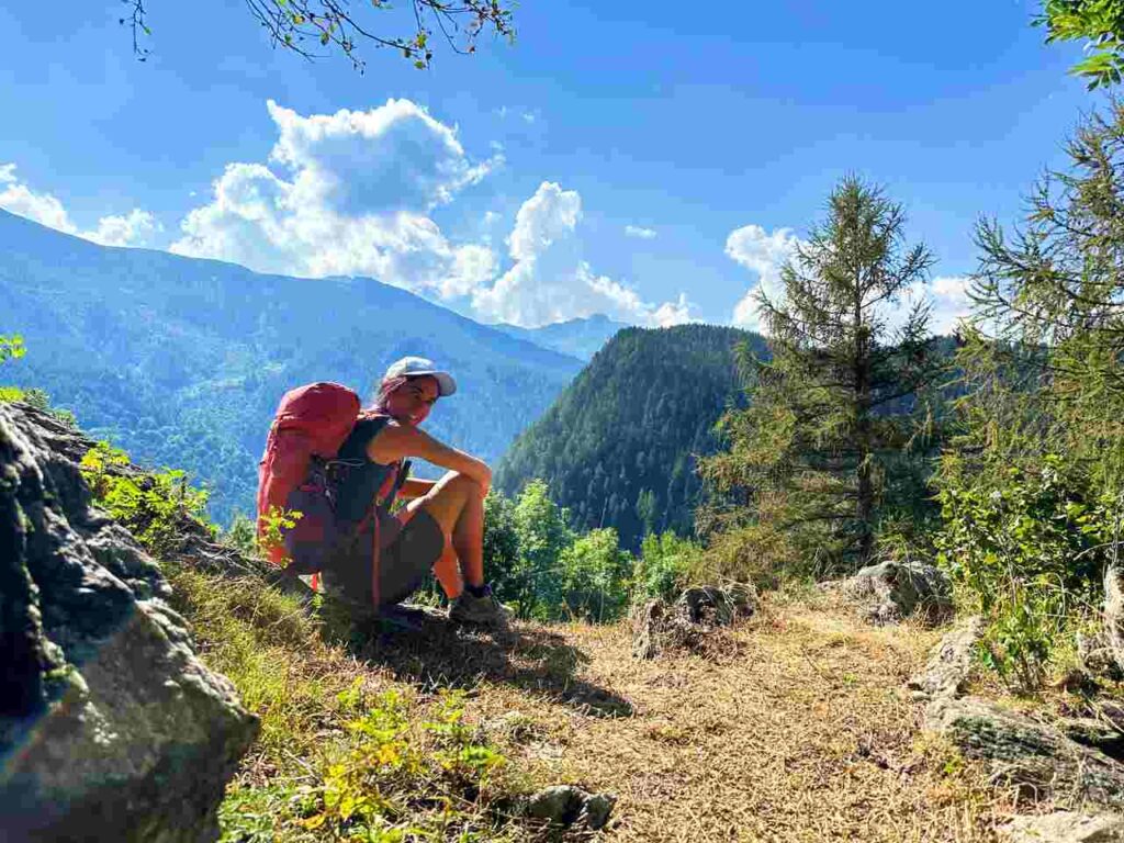
Le Strade dei Forti is a hike that connects many historical roads in Piedmont, Italy, particularly around Pinerolo and the surrounding valleys. Named after the many fortifications built in the 17th and 18th centuries to defend strategically the Alpine passes, this 258 km trail begins in Villafranca Piemonte and ends in Bobbio Pellice. It passes through numerous ancient fortresses and untouched valleys, offering breathtaking views and a rare sense of remoteness that’s hard to find in Italy.
While less famous than the Aosta Valley or the Dolomites, the Piedmont Alps are a hidden gem for hikers.
Whether you hike the entire route or tackle a few stages, you’ll find it accessible via public transport and private taxis. Though I’ve only managed a section of it myself, I recommend experiencing the entire trail if you have the time.
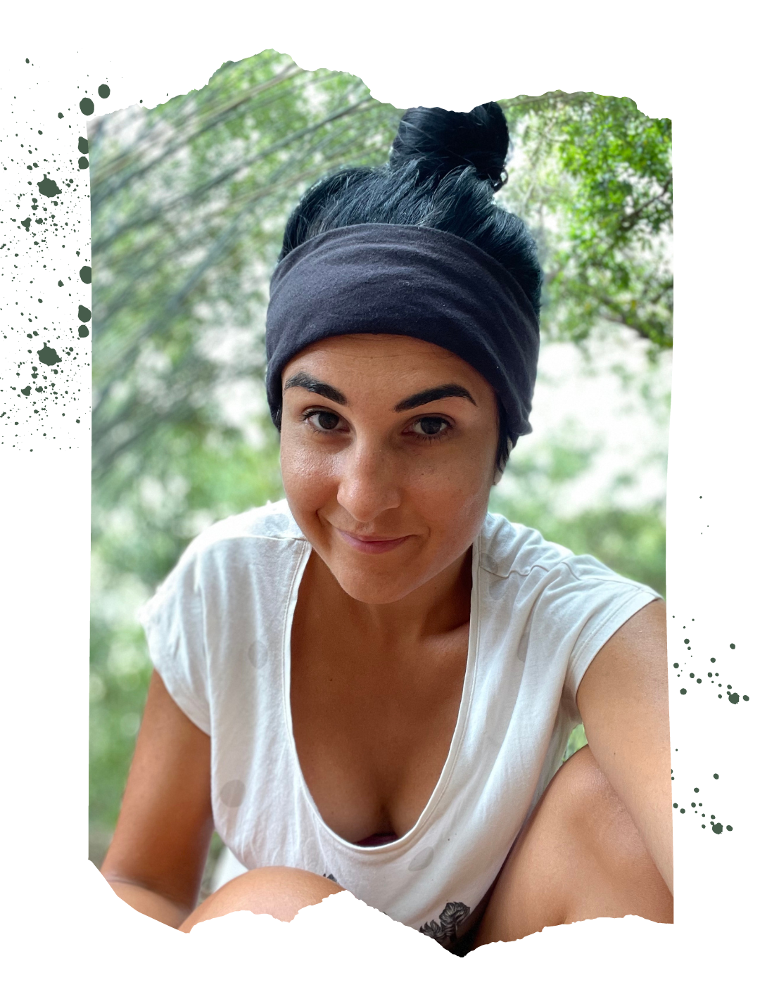
Catch you outside,
Elena
- Where: Piedmont
- Multi Day Hike
- Distance: 92km
- Average Duration: 5 days
- Difficulty Level: Medium
- Total Elevation Gain: 4317m
- Point to Point
- Start/Finish: Fenestrelle to Prali
Who is this hike for?
This hike is best suited for those with a good fitness level. While the days can be long and involve significant elevation gain, the trail is not technical. However, it’s not well-marked, so having GPX traces is essential. As always, be well-prepared for emergencies.
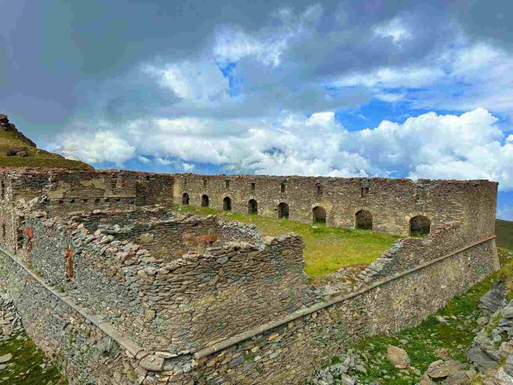
Forte di Fenestrelle
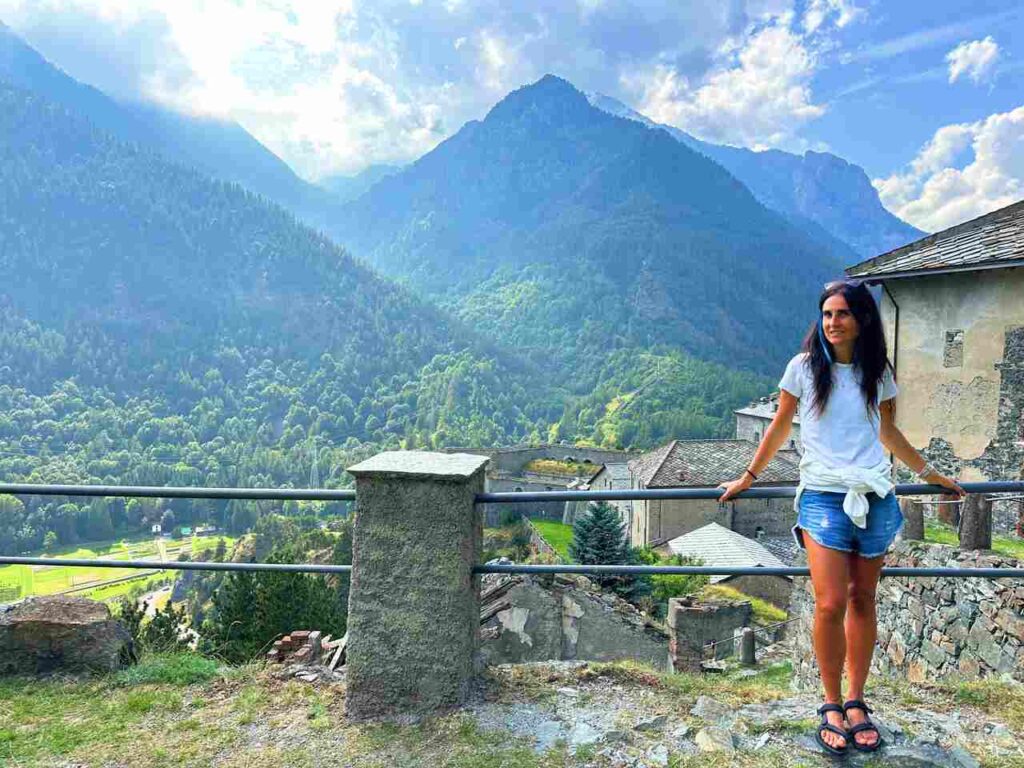
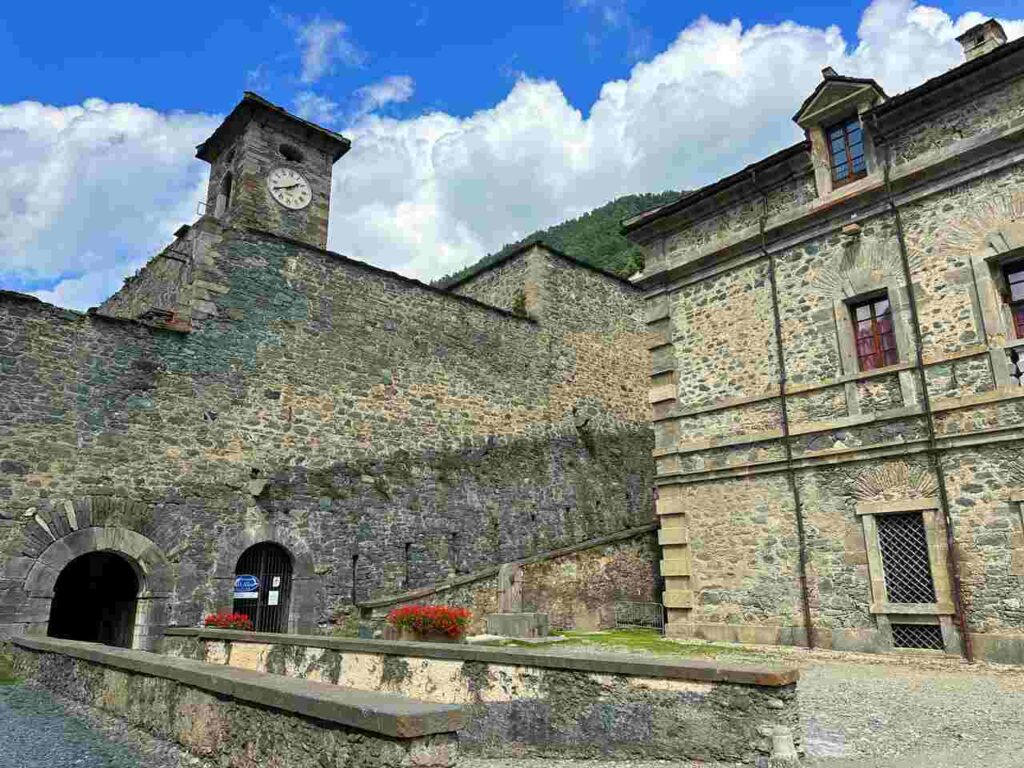
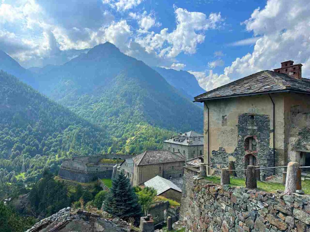
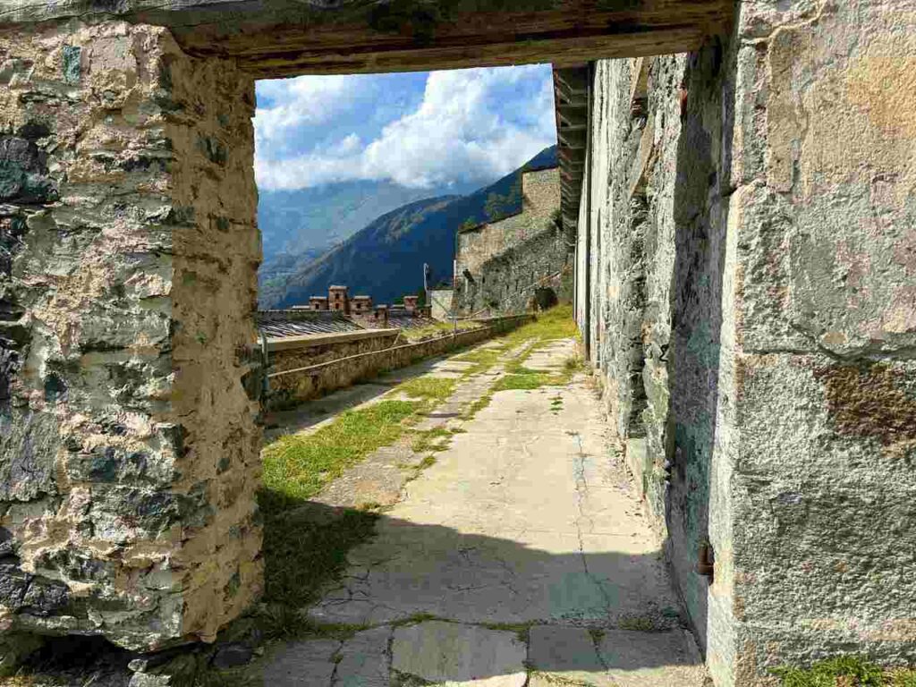
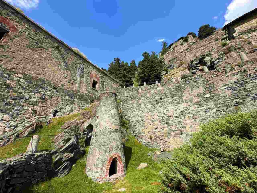
Make sure to arrive a day early to visit Forte di Fenestrelle (book here), known as the ‘Great Wall of the Alps.’ The fortress is an architectural marvel, spanning 3 km with an elevation gain of 635 meters. During my guided tour, I learned that it consists of three smaller fortresses—San Carlo, Tre Denti, and Delle Valli—connected by 3,996 steps yet operating independently. Despite its imposing design, it was never besieged until WWII, when modern technology and aeroplanes allowed Nazi troops to bombard it. Even then, they couldn’t defeat the defenders, the Italian partisans.
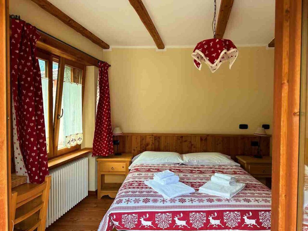
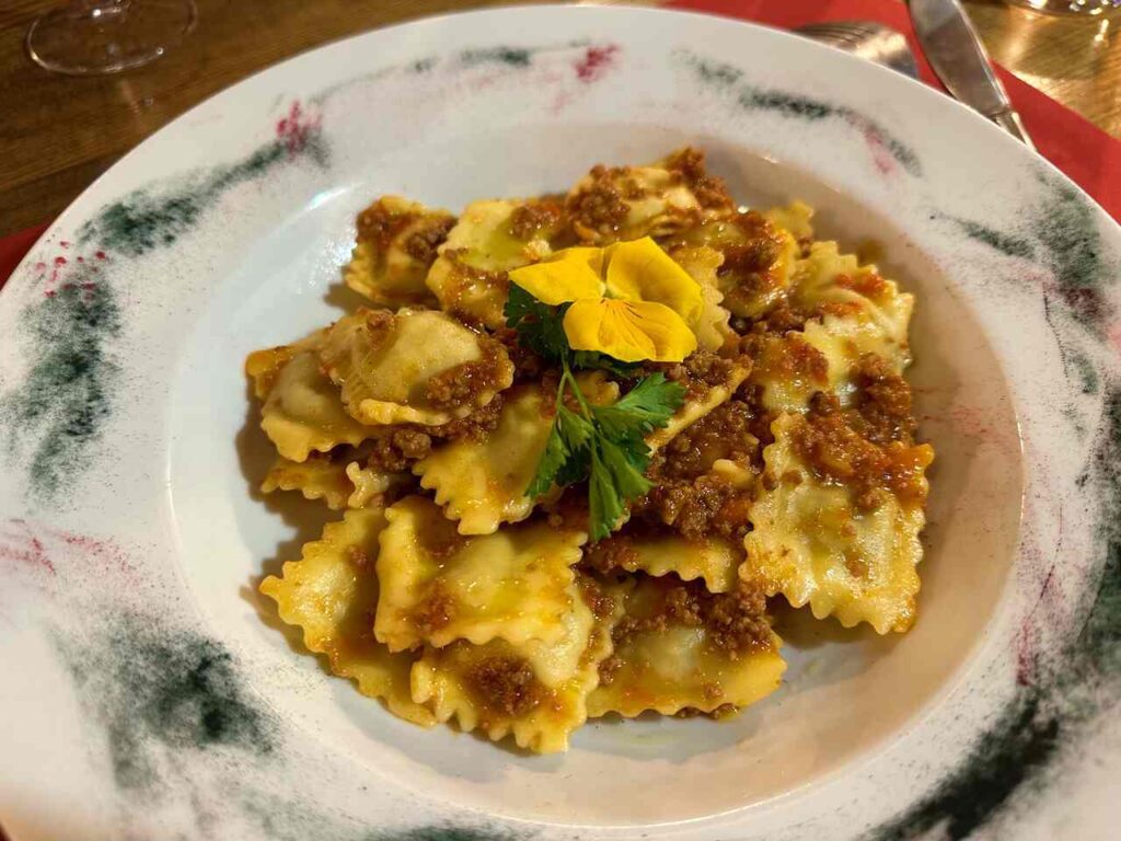
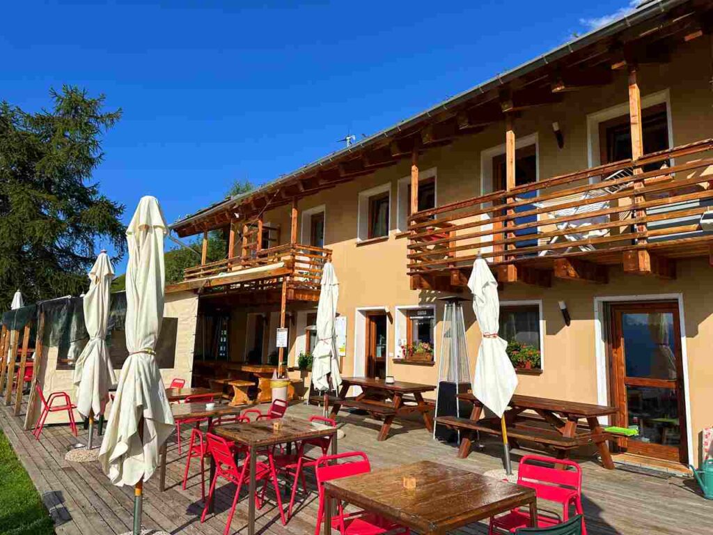
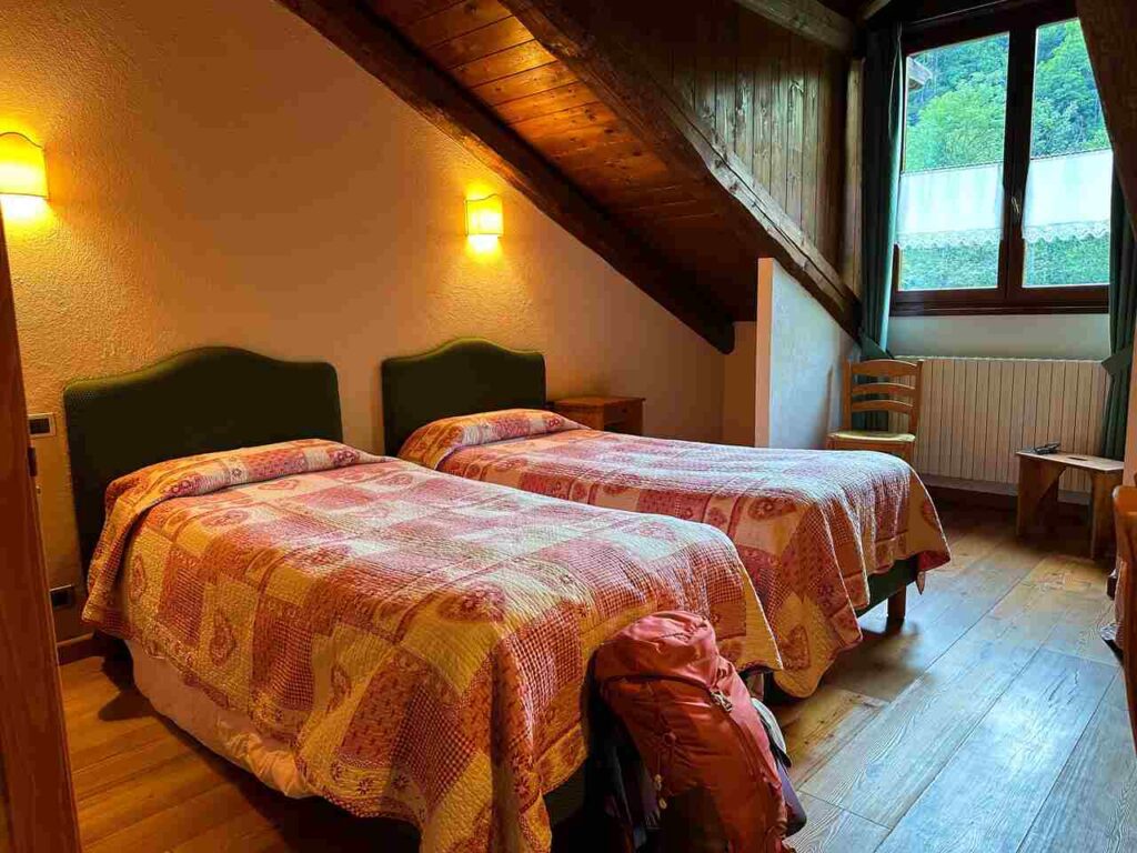
I stayed at Le Petit Fenestrelle, located in the heart of the village, and enjoyed local meals at La Rosa Rossa.
Day 1 | Fenestelle to Lago delle Rane
- Distance: 12km
- Elevation Gain: 858m
- Average Duration: 3.30-4h
- Difficulty level: Easy to Medium
- Start/Finish: Fenestrelle to Lago delle Rane
Day 1 begins from Fenestrelle and leads to Lago delle Rane. This is one of the shorter sections of the trail. The initial part of the hike is a steep climb alongside Forte di Fenestrelle, but once you reach the top near Forte delle Valli, you’ve conquered most of the day’s elevation gain! 😂
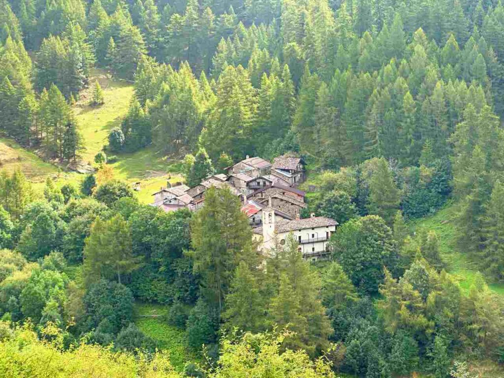
You’ll pass through the intriguing, mostly abandoned village of Puy and the charming village of Pequerel, adorned with murals. You’ll also see minor fortresses like Serre Marie and Cubo del Falouel before reaching Pian dell’Alpe, where the first-day ends.
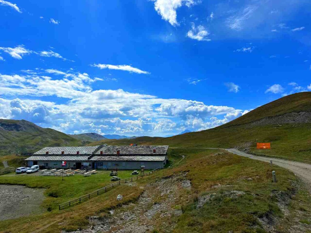
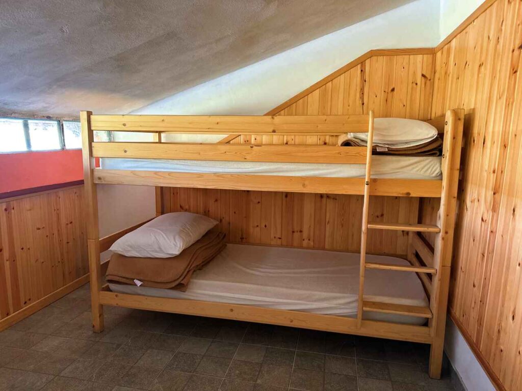
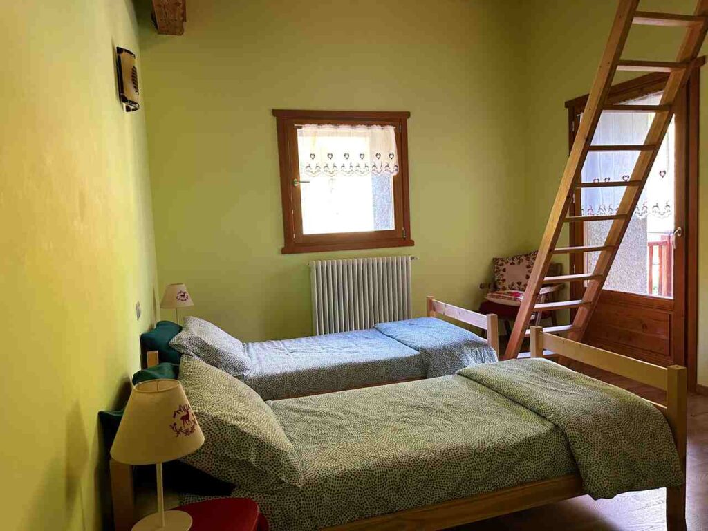
I stayed at Rifugio Lago delle Rane, where Sergio and his team made me feel at home. The rooms were cozy, and the views of the valley were stunning.
If you end your day quite early (like I did) and want to explore more, I highly recommend visiting Usseaux, a small village renowned as one of Italy’s best. The old mill (still in operation), washhouse, and village oven transport you back in time. It’s a worthwhile detour (2.5 hours round trip).
Are you visiting the whole Piedmont region?
I have prepared the perfect guide for you!
Day 2 | Lago delle Rane to Rifugio dell’Assietta
- Distance: 21 km
- Elevation Gain: 1223m
- Average Duration: 5-7h
- Difficulty level: Medium
- Start/Finish: Lago delle Rane - Rifugio dell'Assietta
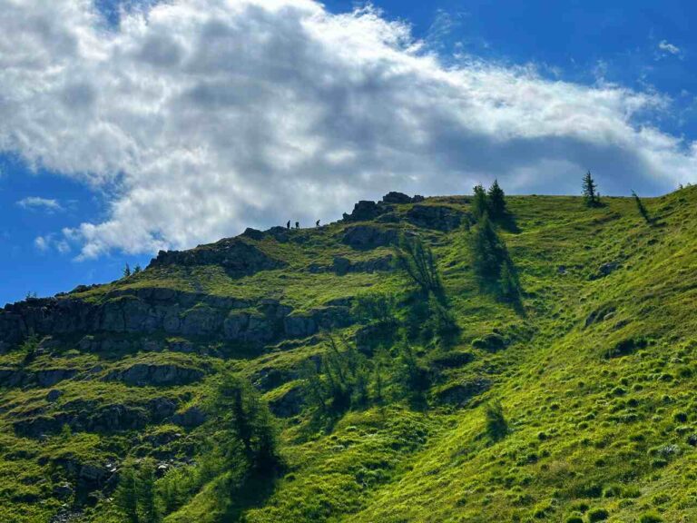
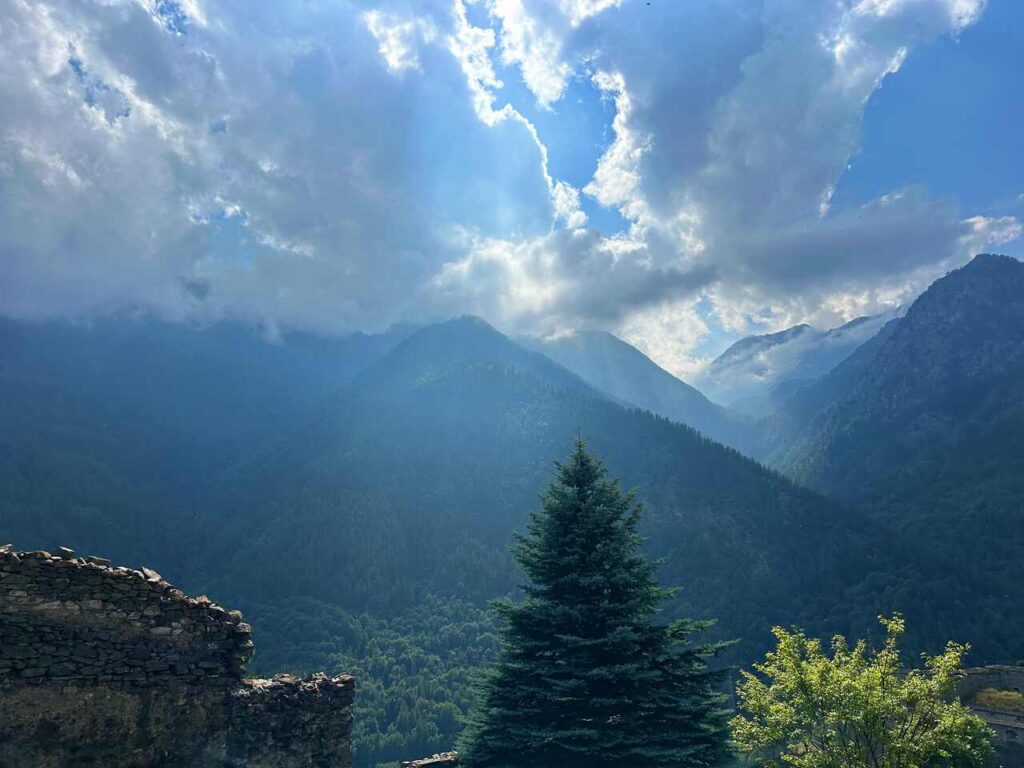
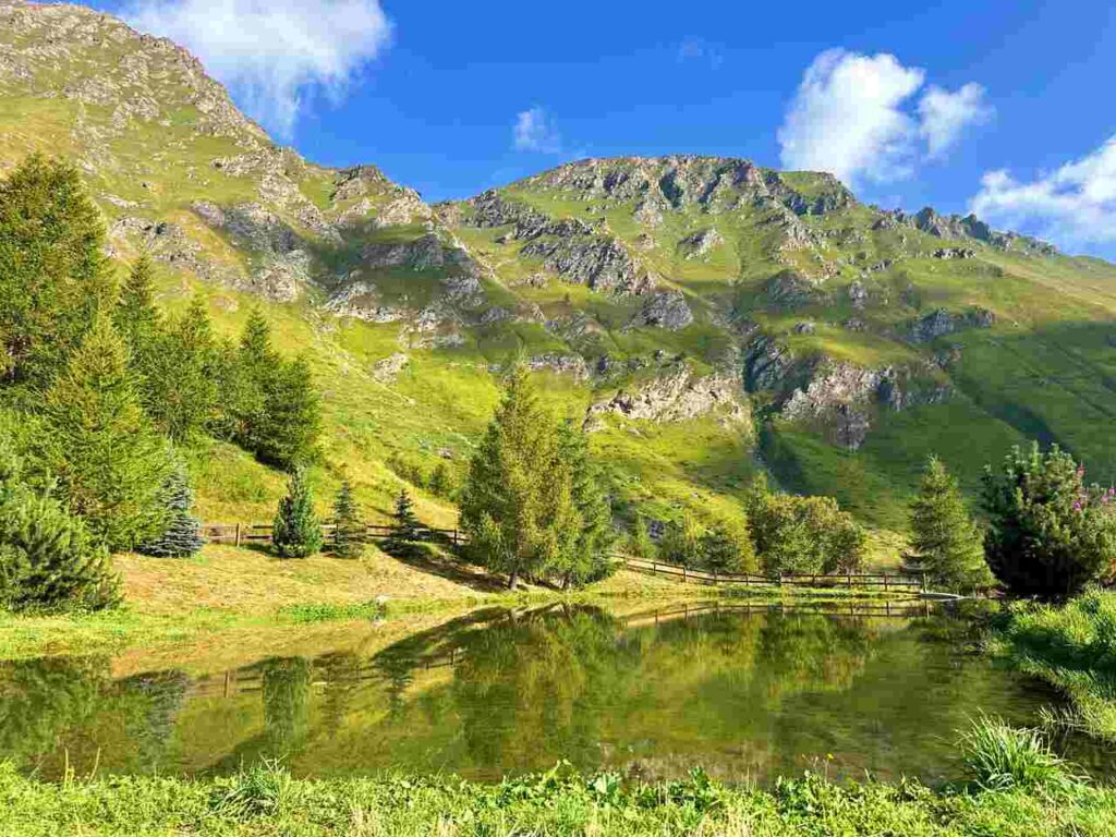
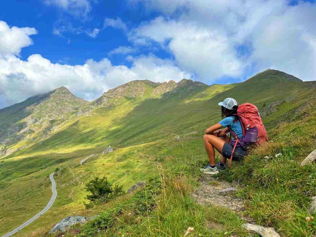
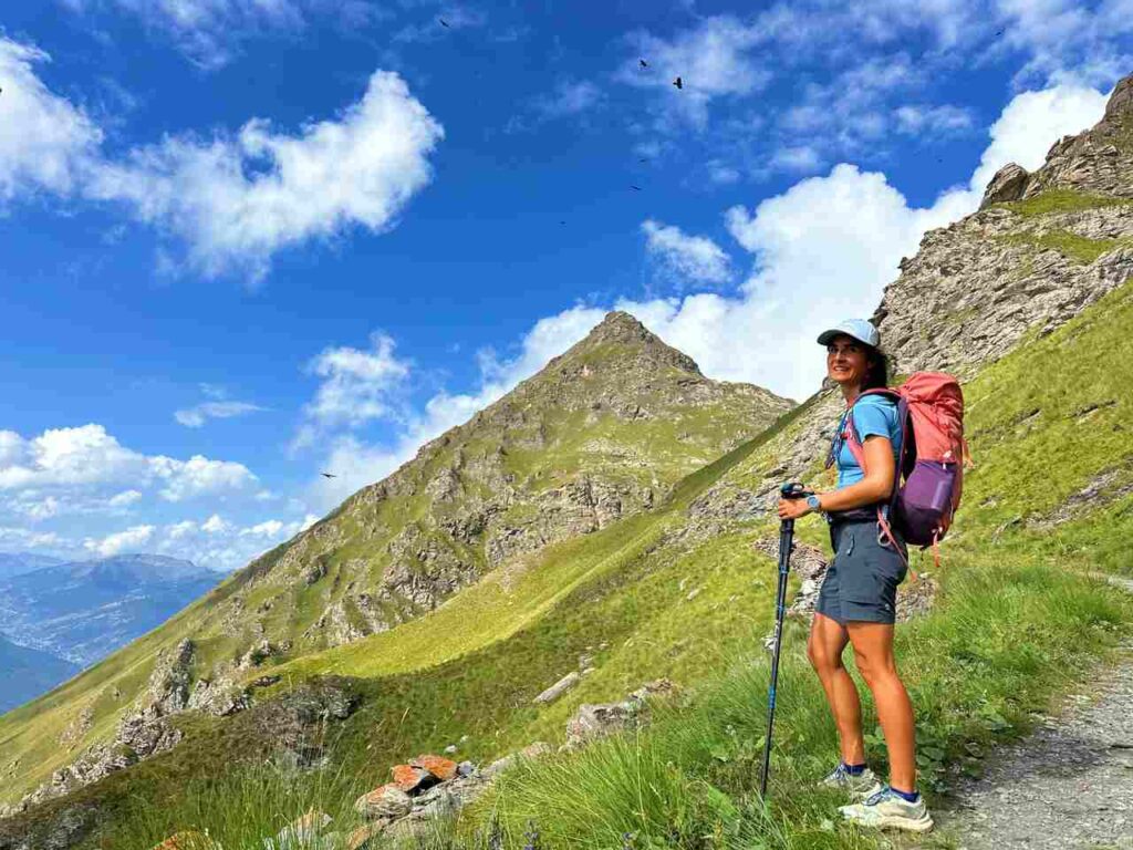
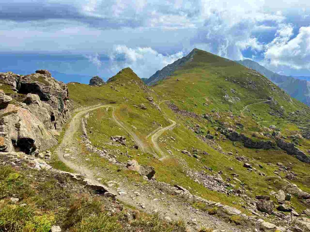
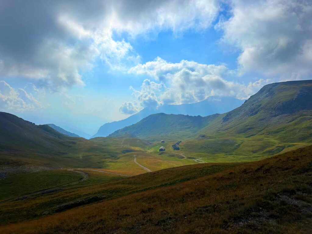
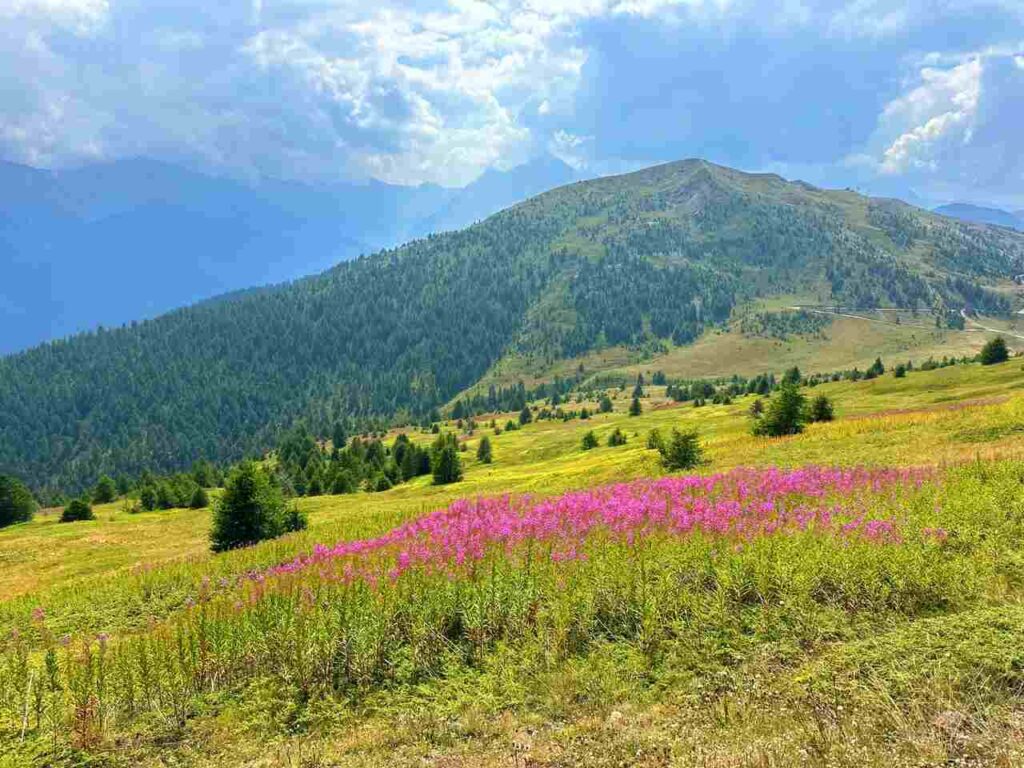
This hike section was one of my favourites. It’s a long day with an elevation gain of 1,158 meters, so start early. You’ll pass the hike’s highest point, so be prepared for changing weather conditions. When I was there, one moment it was sunny, and the next, foggy—be ready for anything.
You’ll walk along the spectacular road to Colle delle Finestre, used by the Giro d’Italia bike race. The route passes other fortress ruins and an ancient military road connecting the fortresses. In August, I encountered no one except for Aldo and Elda, an elderly couple in their 80s walking this road to honour a late cousin who died up in the mountains 🥺 (I hope to be as active as Aldo and Elda in my later years.)
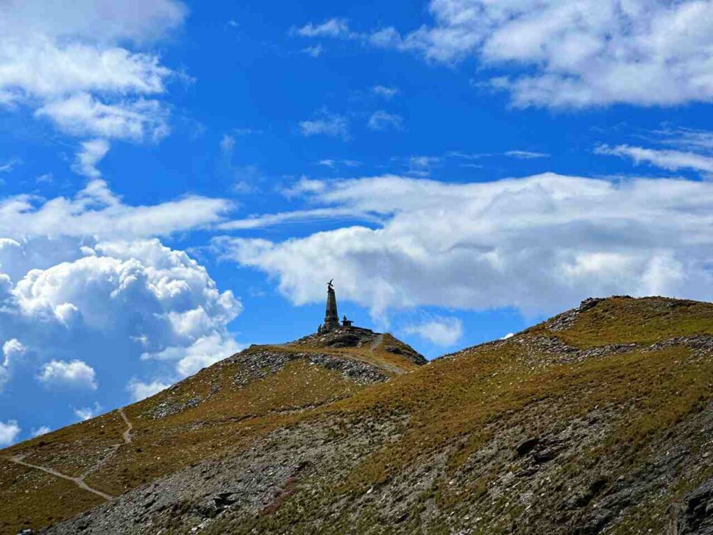
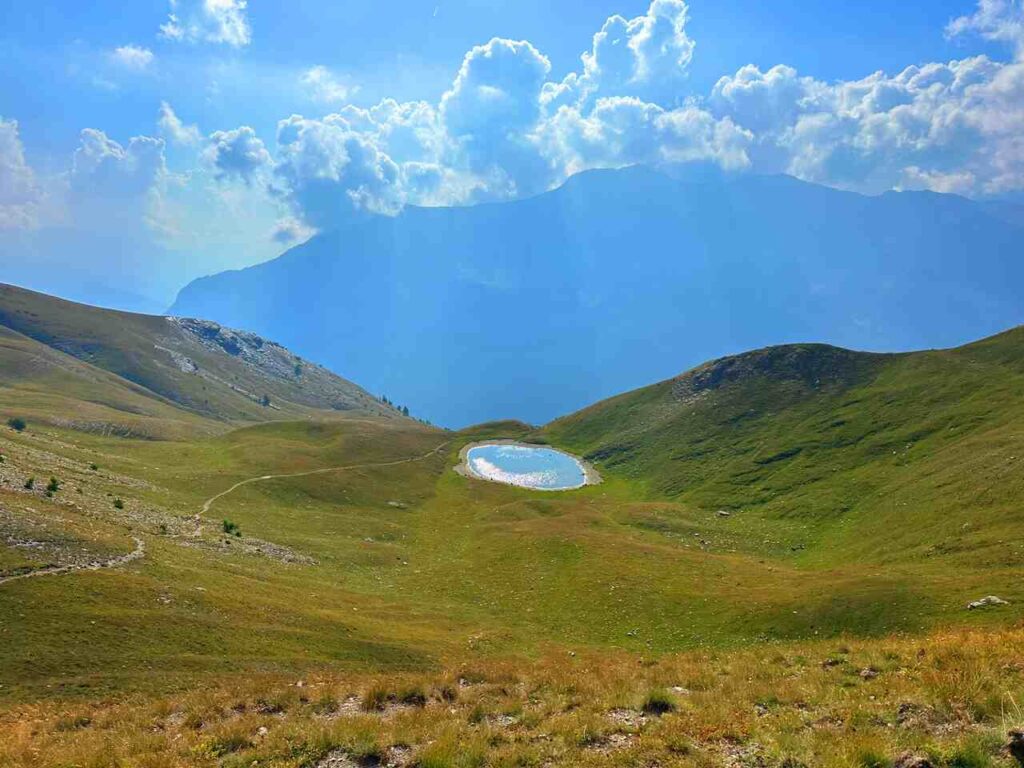
The ancient road leads to Cima Ciantiplagna (2,849 meters), the highest peak in the area. A short detour (40 minutes round trip) offers spectacular views, though clouds obscured the view when I was there, so i didn’t make it to the top..
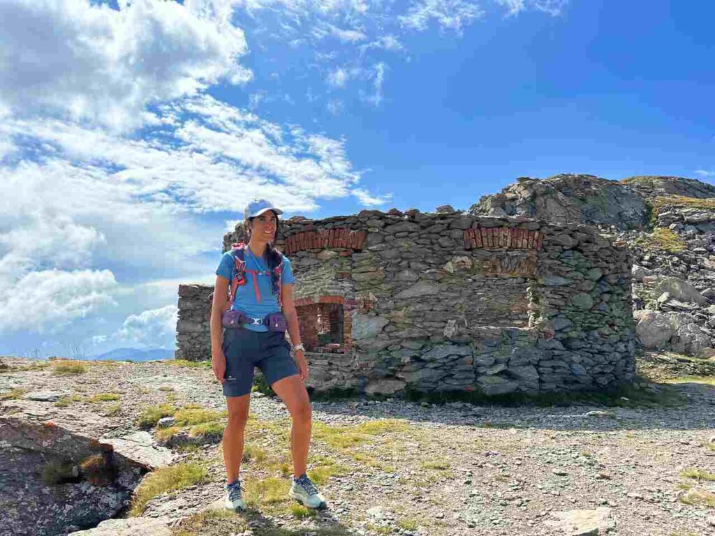
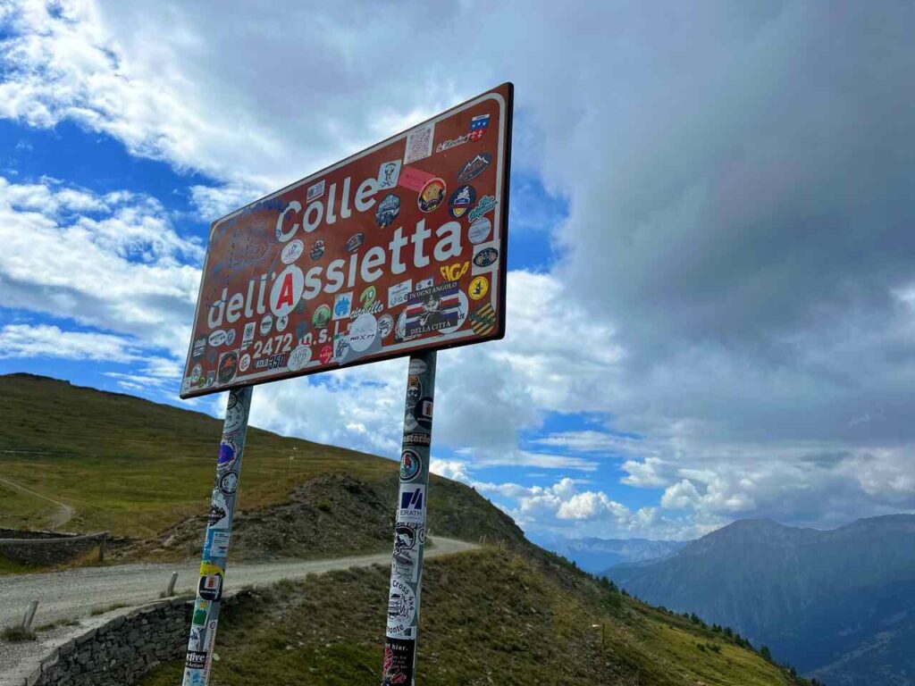
Continuing along the road brings you to the Gran Serin fortress, partially underground. Beyond Gran Serin, you’ll reach Colle dell’Assietta, famous for the Battle of Assietta on July 19, 1747. The Piedmontese Army successfully repelled the French, earning the nickname “bogia nen” (don’t move), which is still the nickname Piedmontes gets to these days.
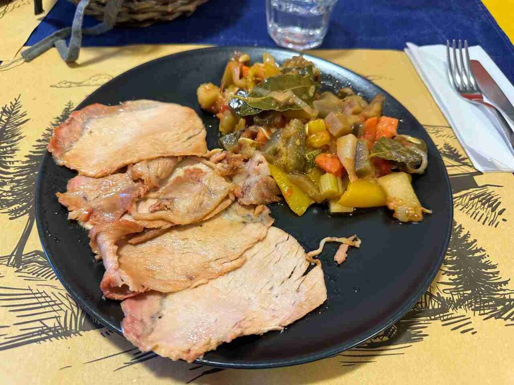
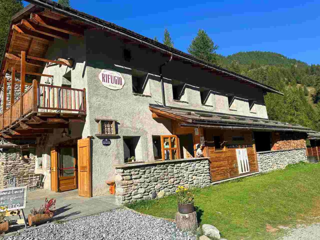
Colle dell’Assietta marks the end of your second day, with the refuge of the same name nearby. This historic refuge, initially built for military purposes, is well-maintained and strategically located. Dedicated to the mountain guide Gian Carlo “Jack” Canali, who tragically lost his life in an avalanche, it’s a great place to stay. Shoutout to Paolo and his staff for the fantastic food, reminiscent of grandma’s cooking. Don’t miss their Marroni canditi—similar to Marrons glacés but even better!
Day 3 | Rifugio dell’Assietta to Mulino di Laval, Pragelato
- Distance: 24km
- Elevation Gain: 417m
- Average Duration: 6-8h
- Difficulty level: Medium
- Start/Finish: Rifugio dell'Assietta to Rifugio Mulino di Laval
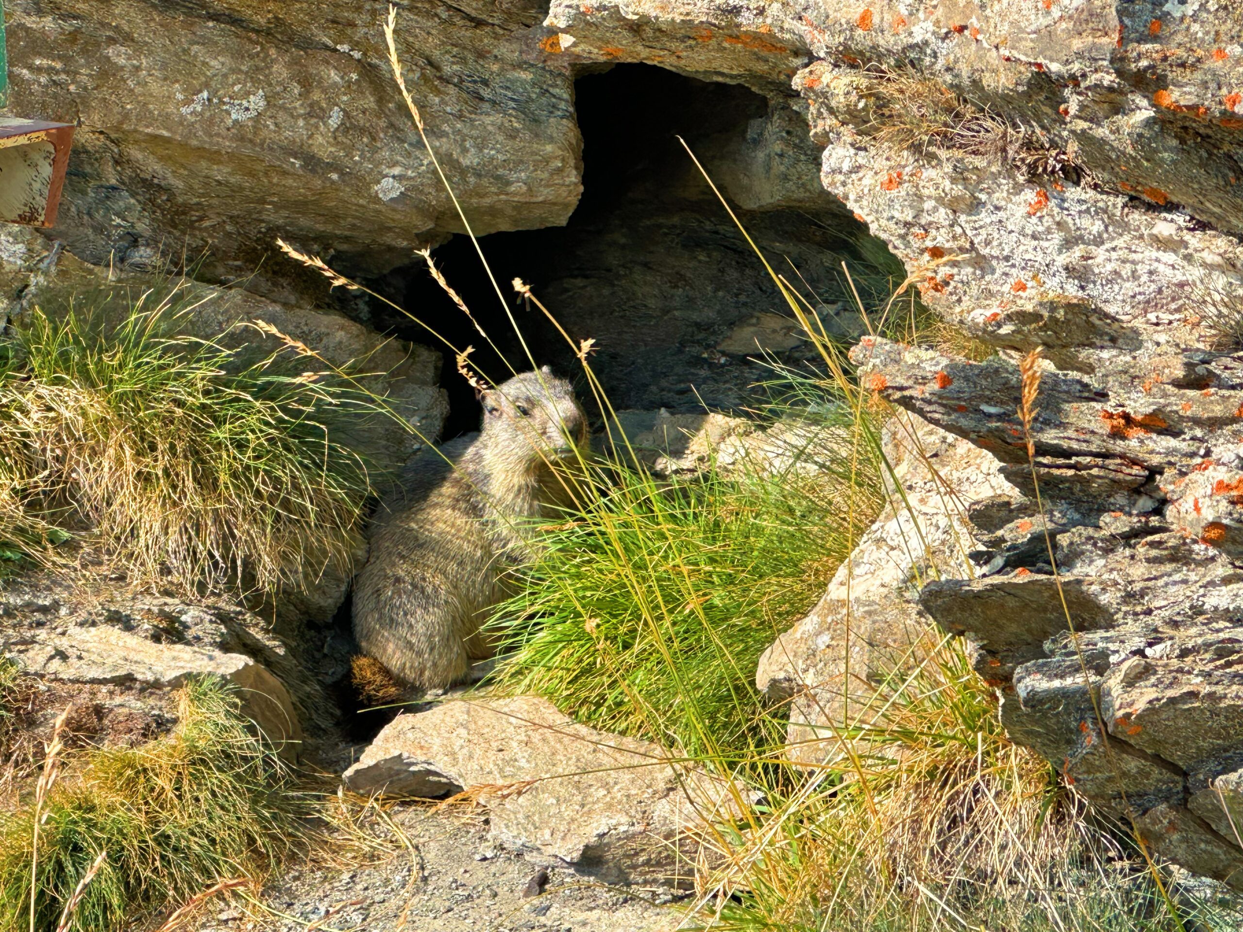
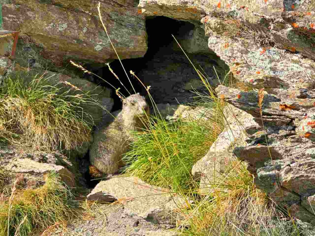
After a hearty breakfast and a good conversation with Paolo at Rifugio dell’Assietta, I set off around 10 a.m. towards Mulino di Laval in Pragelato. I saw many marmots along the way, a sign of fewer tourists and a more secluded experience. The first section follows the panoramic military road, while the second part, leading to Pragelato, is a downhill trail, so don’t forget your trekking poles.
Pragelato, in the heart of Val Chisone at around 1,500 meters, is known for its winter sports facilities, particularly cross-country skiing, and was a host site for the 2006 Winter Olympics.
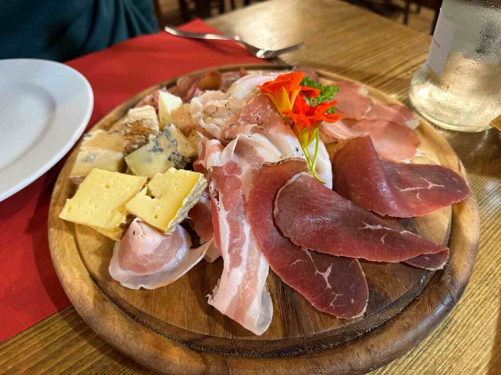
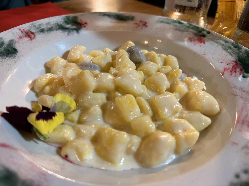
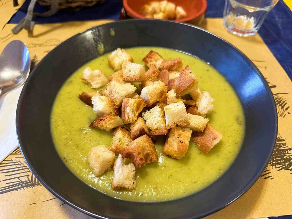
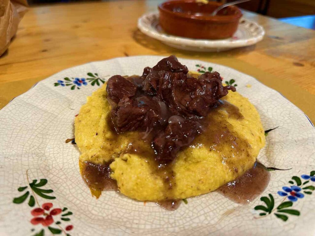
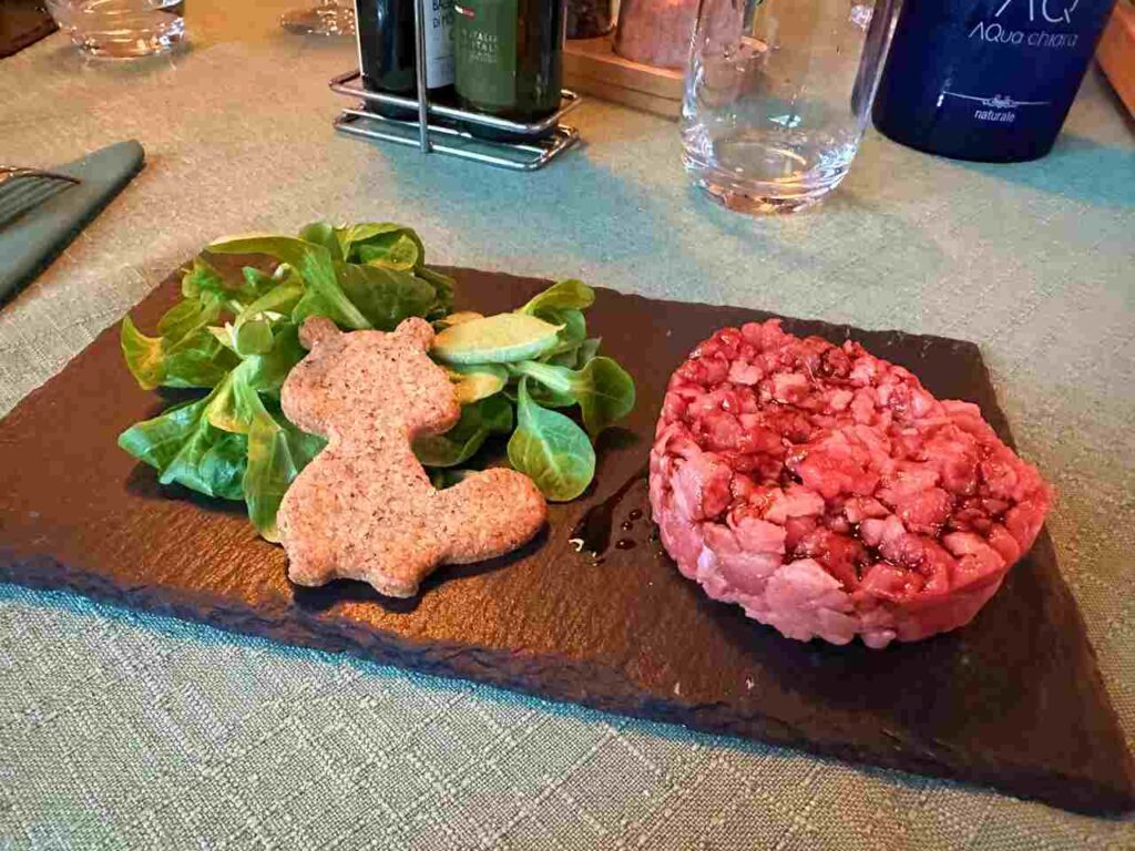
Following the Chisone River, I arrived at Rifugio Mulino di Laval, where I enjoyed a refreshing shower and some delicious polenta. For those who don’t know, polenta is a staple in Italy’s mountainous regions, is simple, hearty, and perfect for providing energy in cold environments. Made from locally grown cornmeal, it pairs wonderfully with cheese or meat.
Are you visiting the whole Piedmont region?
I have prepared the perfect guide for you!
Day 4 | Mulino di Laval to Foresteria di Massello
- Distance: 21km
- Elevation Gain: 915m
- Average Duration: 6-8h
- Difficulty level: Medium
- Start/Finish: Mulino di Laval to Foresteria Massello
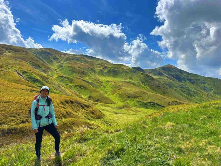
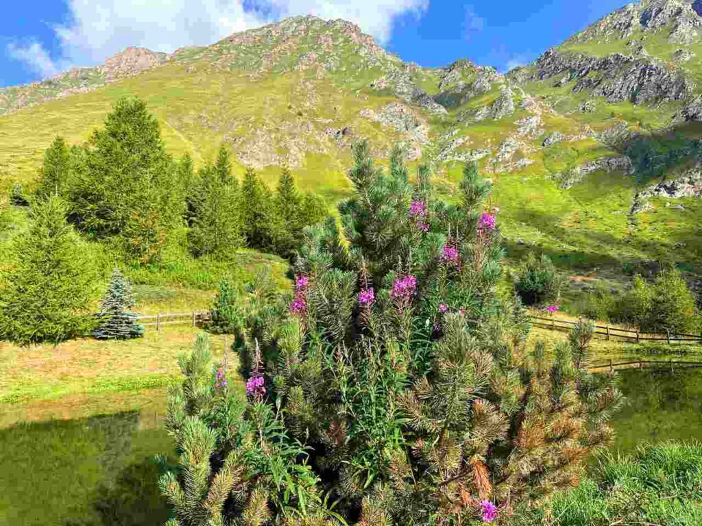
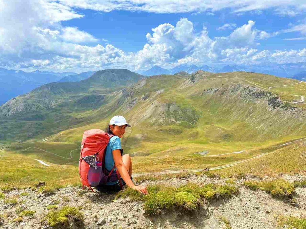
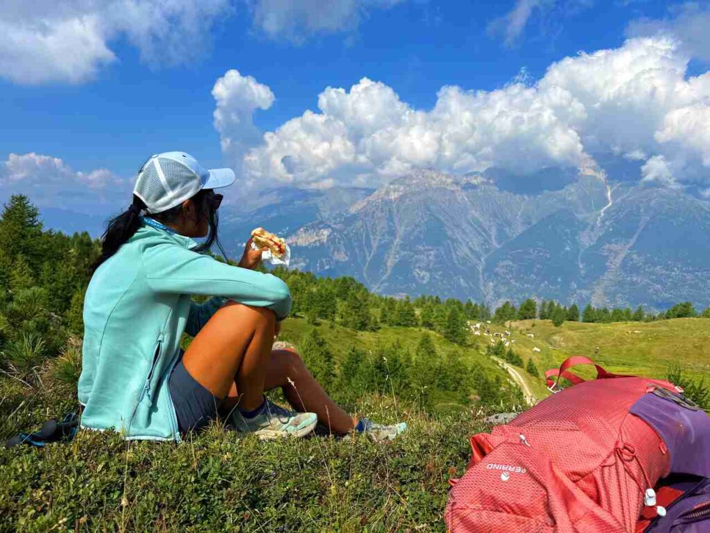
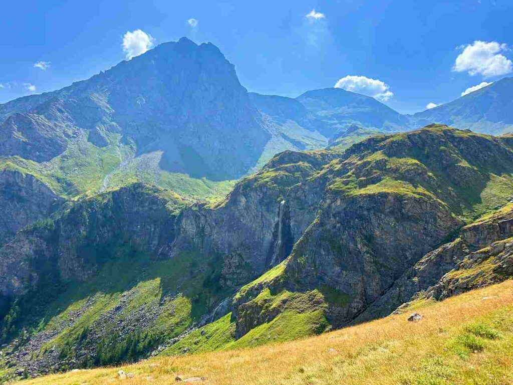
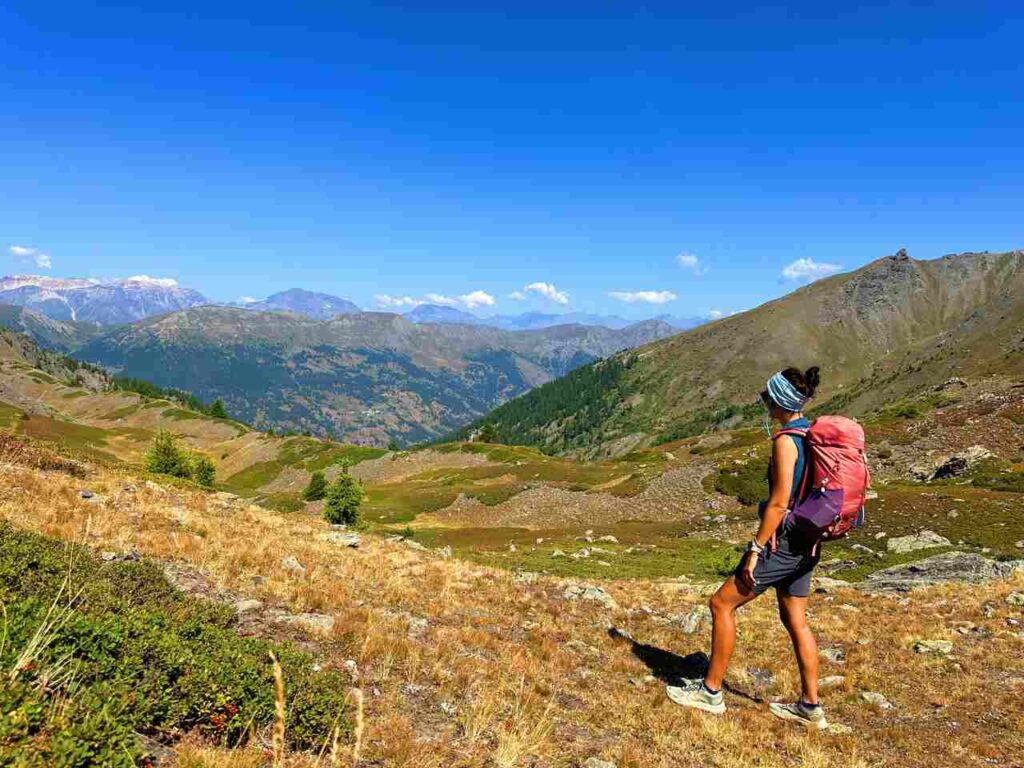
Leaving Mulino di Laval, I embarked on my favourite section of the hike, even better than Day 2 from Rifugio delle Rane to Colle dell’Assietta. The views were unbeatable despite the mostly downhill terrain (and you know how much I dislike downhill!). In Val Troncea, I was surrounded by blueberries turning into autumn colours and reminding me that summer is almost gone. At Col del Pis, I found a stunning spot for lunch with views of Colle dell’Albergian, Monte Ruetas, and Val Germanasca.
The descent continued to Pis Waterfall, where I had a break to admire its majesty. I hadn’t seen anyone all day, which added to the magic of the experience.
After Pis Waterfall, I descended to Balsiglia, a small village with a Waldensian Museum. Val Germanasca was a refuge for the Waldensians (Valdes) in the 12th century, who fled persecution for their reformist Christian beliefs. Despite centuries of oppression, including the Piedmontese Easter Massacre in 1655, they found solace in the valley. Today, the Waldensians are celebrated for their resilience and their legacy is deeply embedded in the region’s cultural heritage.
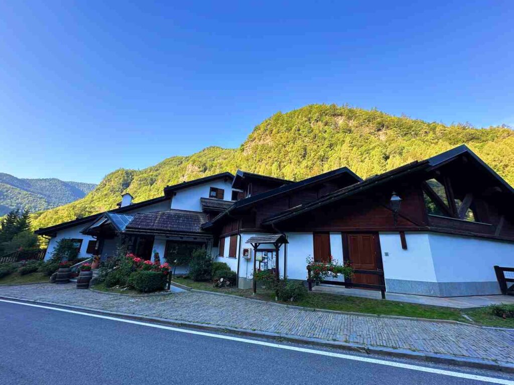
From Balsiglia, it’s a short walk to Foresteria Massello. The Foresteria offers charming mountain-style rooms and excellent food.
Day 5 | Foresteria di Massello to Prali + Scopriminiera
- Distance: 13.7km
- Elevation Gain: 904m
- Average Duration: 4-6h
- Difficulty level: Easy to Medium
- Start/Finish: Foresteria Massello to Hotel Salei
Breakfast at the Foresteria was a feast: yogurt, croissants, and fresh fruit, all incredibly delicious—a perfect start to my last day on the trail!
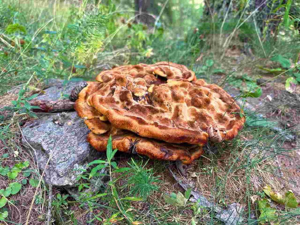
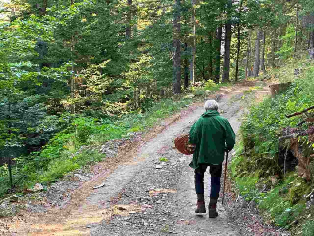
This section of the hike mostly traverses through bushes. Given the warm weather, it was ideal. As you approach Prali, you’ll likely encounter more people. I met locals foraging for mushrooms and had the chance to chat about the area and their finds. I learned new recipes and discovered more about the region. These are the encounters I love the most!
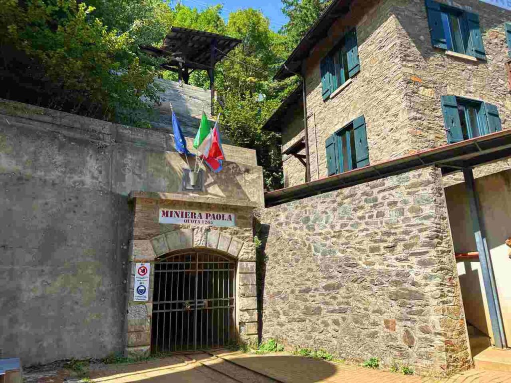
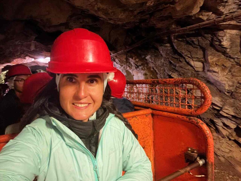
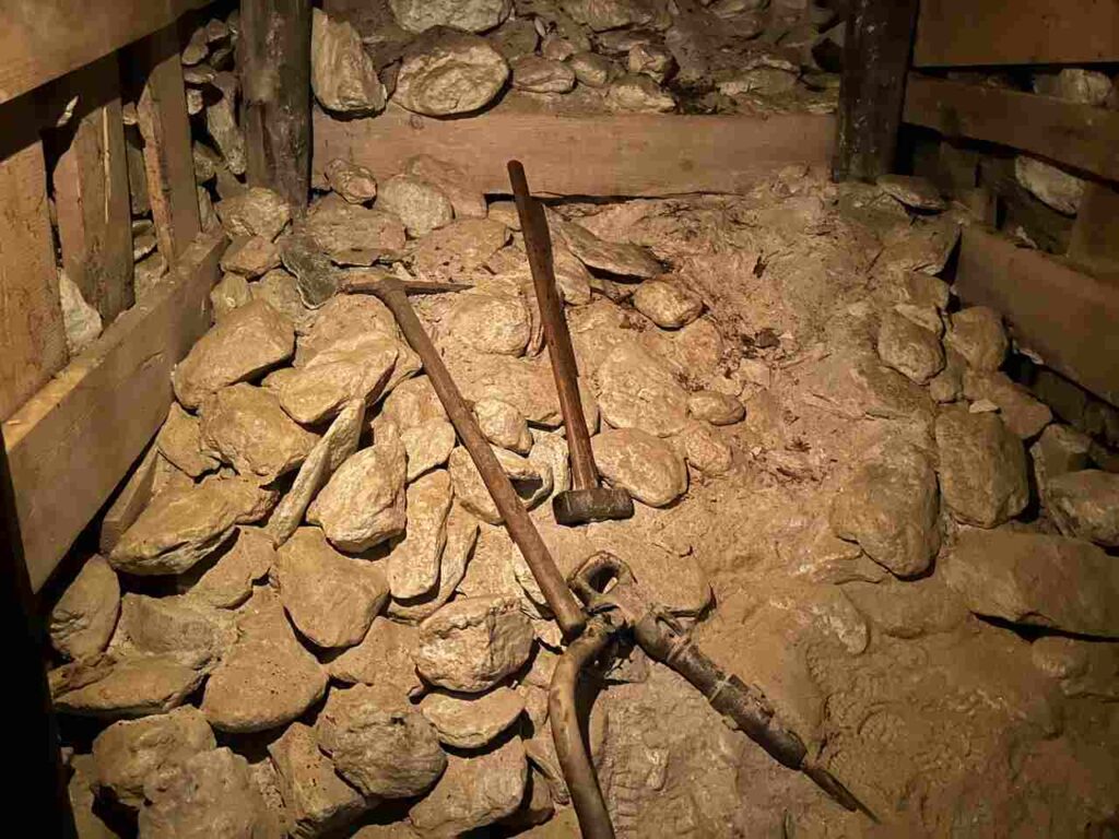
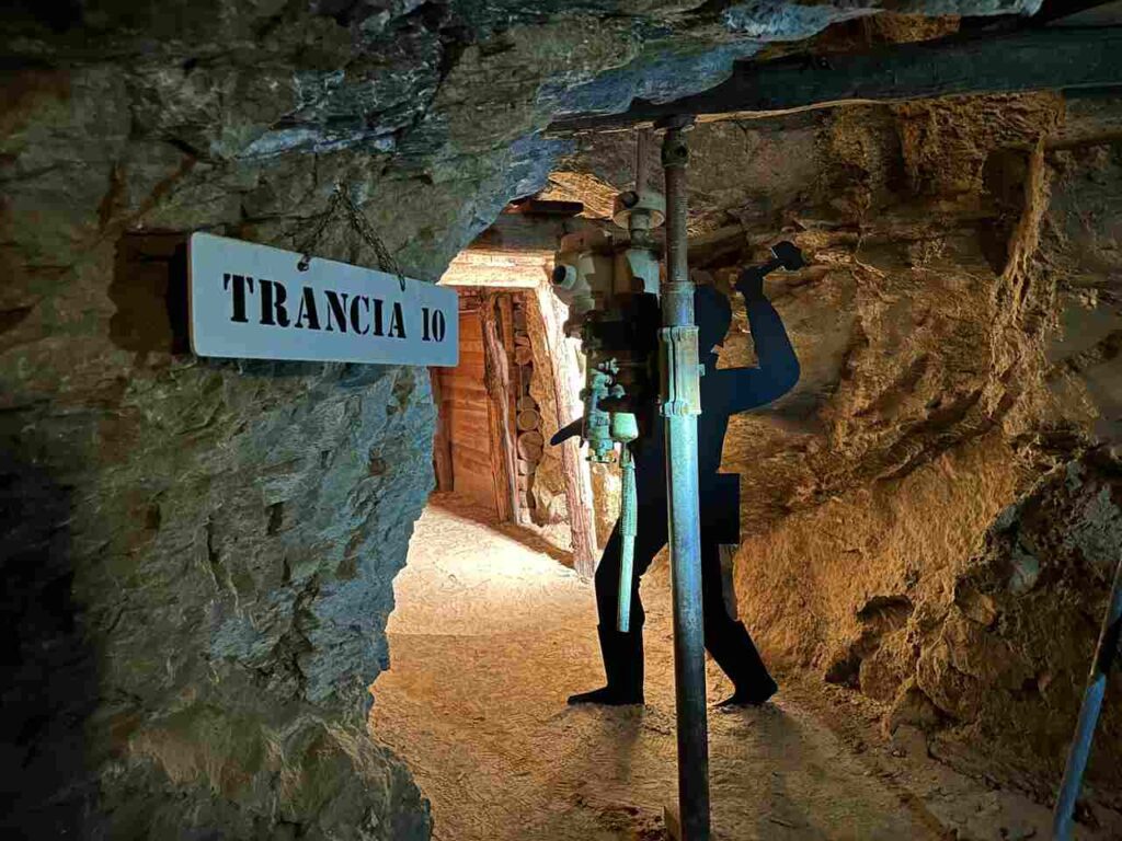
Today was one of the shortest days, along with Day 1, taking just four hours to reach Prali. I booked a visit to Scopriminiera (book here), which is highly recommended. Scopriminiera offers a guided tour of the old talc mine, Miniera Paola, providing insight into the lives of miners from the 1800s to the present. The talc, known as “Bianco delle Alpi,” is renowned for its rarity and prestige and is used in various products. The tour begins on a miners’ train and continues on foot through tunnels and work areas, offering a glimpse into mining life in the early 1900s.
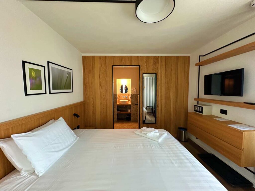
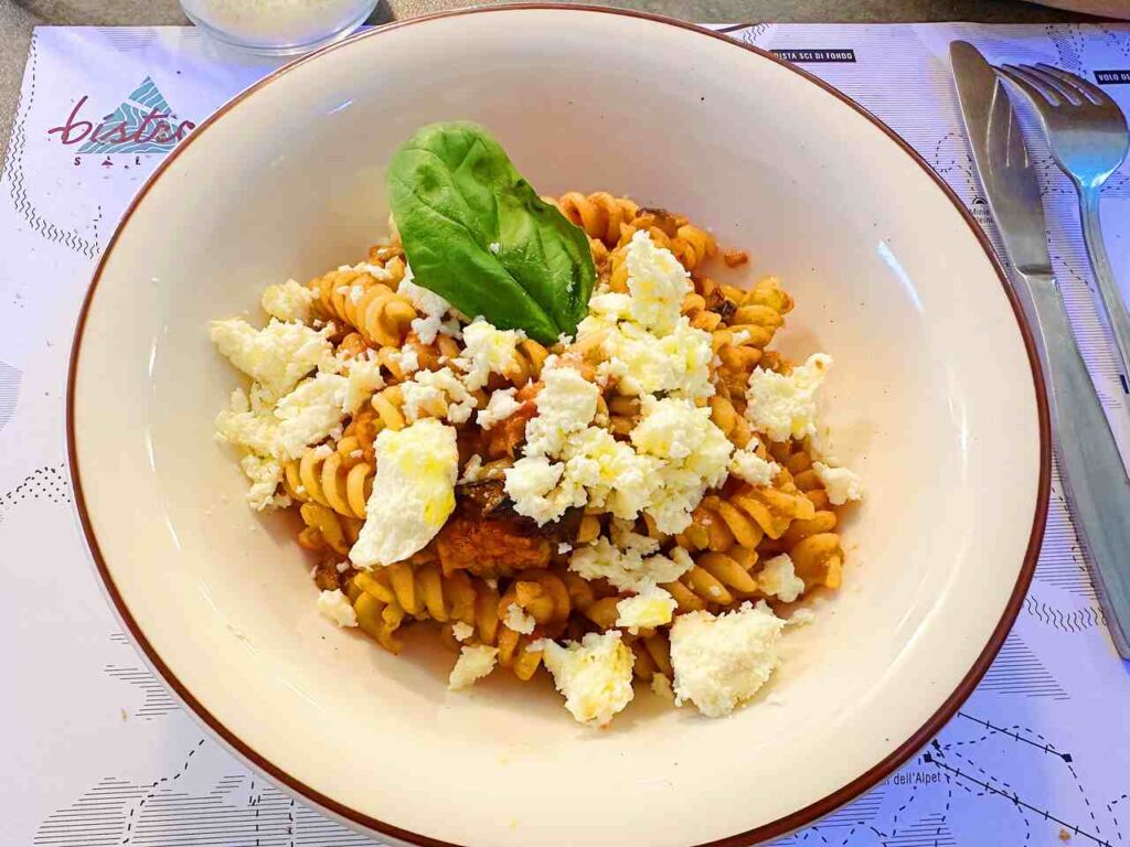
My final night was at Hotel and Bistrot Salei, a historic hotel in Prali recently renovated by Alessandra, Chiara, and Nicoletta. The rooms are very comfortable, making it a perfect end to my trip. Even if you stay elsewhere, be sure to dine at their restaurant. You won’t regret it! The dishes, made from carefully selected ingredients, are homemade, simple, and incredibly tasty. Their savoiardi biscuits for tiramisu are homemade and are a must-try!
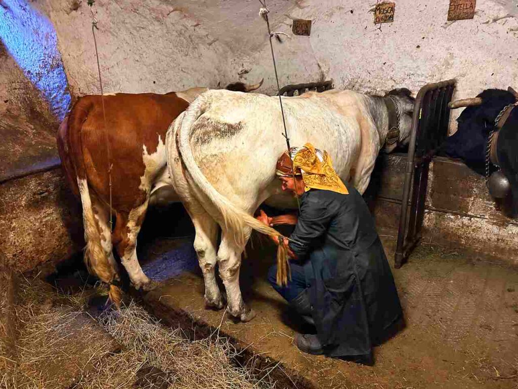
Prali is also where M. Me Vera still milks cows individually each day. You can visit and buy fresh milk directly with your own bottle, which I find priceless.
Are you visiting the whole Piedmont region?
I have prepared the perfect guide for you!
If you want the entire 258km GPX trace, you can download it below.
The entire trace is on Outdoor Active, and if you subscribe through this form, you can enjoy four weeks of free Pro+ features of this app.
This journey along Le Strade Dei Forti, was truly unforgettable, combining breathtaking landscapes and a rich tapestry of history. If you’re seeking a trail that ventures off the beaten path and immerses you in Italy’s natural beauty, this is the hike for you.
👇🏻Feel free to book a “Discover Italy like a Local” with me 👇🏻
Catch You Outside,
Elena
Frequently Asked Questions
Full hike infos
Find them here.
And you can send all your enquiries to info.pinerolo@turismotorino.
Do you need an expert guide to accompany you?
Find them here.
Or contact directly [email protected]
Dog allowed?
Yes, You can take your puppy… but only if you collect their 💩!!
Where to sleep? Tent?
You can do it by tent, always allowed near the Huts, and bivouac from Sunset to Sunrise.
If you doing it hut by hut, just double check they are open and have availability.
Difficulty
Most of the sections are E; some sections are EE (experienced hikers), mostly because they are long days and have fair elevation gains).
Credentials?
There are no credentials.
Best months to hike it?
- Spring to Autumn.
- As usual, check weather forecasts for safety, avoiding the trail during heavy rain or strong winds.
What to bring?
- Wear sturdy, comfortable hiking shoes suitable for various terrains. It is not a walk in the park and is more challenging than expected.
- Carry trekking poles for stability.
Trail waymarking
- Not a very well-marked trail; it could be improved.
- YOU MUST HAVE a Gpx map with you.
Planning Information
Many huts are closed during mid-season, or they open only during the weekends.
Getting there & Away
Few options:
- By car
- By Bus: if you go by bus, check the timetables carefully and ask the locals where the bus stops are.
- Bus timetables from Torino to Fenestrelle
- Bus timetables from Prali to Torino
Permits & Fees
No Permits required.
IMPORTANT: Pay close attention to the data contained in this description.
They may be incomplete or outdated. The paths may change over time due to bad weather, fires or simply the change of seasons. Check in the comments if anyone has made any reports or recommended any changes.
Do you still have a question?
"Discover Italy Like a Local" Consultation
I always try to write everything I can to give the best possible informations, but if you feel like you need a specific and tailored consultation, feel free to book a one-on-one consultation to address your concerns, answer your questions, and provide support throughout the planning process.❤️